Following the Buoys
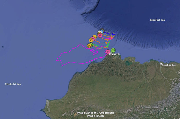
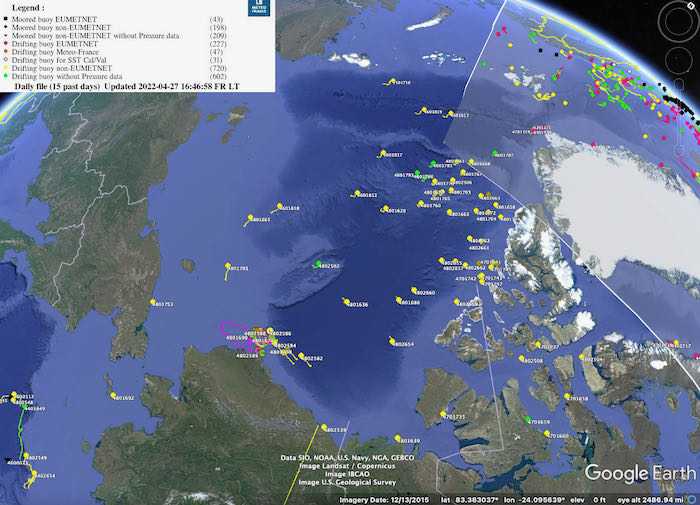
We deployed the Arctic observing buoys on April 3, 2022 and since we have been watching their voyage westwardly between the Beaufort and Chukchi Sea. You too can follow the buoys we deployed north of Utqiaġvik, Alaska and access the weather and sea ice data they are reporting on the International Arctic BuoyA float moored in water or ice to mark a location, warn of danger, or indicate a navigational channel. Programme (IABP) website.
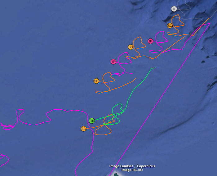
Dr. Ignatius Rigor, Director of the IABP, helps us understand this corkscrew drift pattern here: We see that the buoys drift mostly with the wind. The winds have a pretty "long spatial correlation length scale", which is scientist speak for winds in Seattle usually blow in the same direction some distance away like Portland. In general, the air pressure field changes slowly across the Arctic Ocean, and since winds blow from high pressure to low pressure with a turn to the right due to the spinning earth (coriolis), the sea ice will drift similarly over hundreds of miles. Seeing coherent loops like this among buoys a few hundred kilometers apart is pretty common as the winds shift with the passage of weather over a few days/weeks. It gets even more fun during the summer when ice breaks up and we start seeing inertial oscillations, the buoys will also loop on the time scale of hours, so adding this on top of the weekly oscillations, we can get some pretty cool patterns. Also note that the loop of each of the buoys (in the image above) are not perfectly similar, so these slight differences in drift between buoys (sea ice) forms the ridges and cracks that we see over the ice surface.
Dr. Rigor and Melinda A. Webster and Nicholas C. Wright discuss this a little bit in a recently published rather accessible (for general public) article in Oceanography. It discusses how observational scale influences our understanding of sea ice and how the multiple types of observational data should be integrated for a more complete picture of what is really happening. Download the April 6, 2022 Oceanography article and give it a read (there are great graphics in it too).
Simple Directions for Viewing BuoyA float moored in water or ice to mark a location, warn of danger, or indicate a navigational channel. Data On a Map
- Open the IABP 2022 Utqiaġvik Deployment page.
- Click on and download the 'Utqiagvik_2022.kml' file midway down the page
- Open Google Earth on your computer
- Go to your downloads folder and click on the Utqiagvik_2022.kml file to open it. It will open in Google Earth. Note that the .kml file has to be downloaded again every day to get the updated current data. It does not automatically update in Google Earth
Bear Visits the Cluster of Buoys
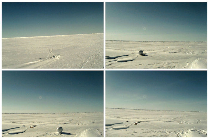
According to our webcam sidekick buoy, sometime before April 20, 2022, a polar bear visited and moved things around a bit. You can see in these photos how the ice ball buoy has been moved (see photo caption).
Observing Sea Ice Breakup
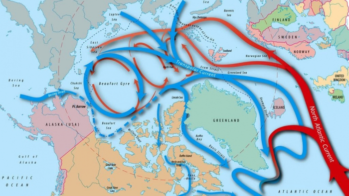
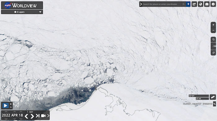
I have also been watching how the sea ice has been breaking up over the past few weeks. Watch this animated WorldView satellite imagery of the same area north of Utqiaġvik, Alaska. It is important to consider the ocean currents, surface winds, and other factors when observing sea ice movement as we can see in the WorldView animation.
Whaling Season
In addition to the geophysical observations of sea ice, I have also been paying attention to the Utqiaġvik news and updates through people and community pages on facebook. It is whaling season right now and many whaling teams have been bringing in whales for the community. To learn about the Iñupiaq people and their culture in northwestern Alaska has been a really special piece of my entire PolarTREC experience so far. One of my favorite pages on facebook is the Alaska Arctic ObservatoryA location used for observing terrestrial and/or celestial events. and Knowledge Hub as they post incredible photos and sea ice maps too.
Life Long Learning Ahead
I am hooked! I want to understand more and more about Arctic sea ice and the Arctic Ocean as a whole. I have been finding more Arctic sea ice books and participating in online presentations to continue to learn everything I can over the past couple weeks. The sea ice on the Arctic Ocean has captured me. I can't wait until next time...
- < prev
- 28 of 28


Comments