So Just What is an Arctic BuoyA float moored in water or ice to mark a location, warn of danger, or indicate a navigational channel.
Not all weather stations are considered buoys, but all drifting ocean weather buoys are also weather stations.
Weather buoys are instruments that collect weather and ocean data within the world's oceans have been in use since 1951, while drifting buoys have been used since 1979. This is one of the longest running climate observational methods for the Arctic. There are weather buoys all around the world in every ocean. In warmer climates, deploying buoys is fairly simple. In the Arctic Ocean buoy deployment is much more complex due to the Arctic challenge (very cold, sea ice, remote locations, few vessels traveling through, etc.).
There have been drifting (untethered) weather buoys working every day collecting data and sending the data to master computers since 1979. The goal of this international project is to maintain a network of drifting buoys to provide meteorological and oceanographic data for real-time operational requirements and research purposes including support to the World ClimateThe average weather over a particular region of the Earth. Climate originates in recurring weather phenomenon that result from specific types of atmospheric circulation. Research Programme and the World Weather Watch Programme. The data is essential to global weather models and daily weather forecasts for everyone who checks the weather (including you).
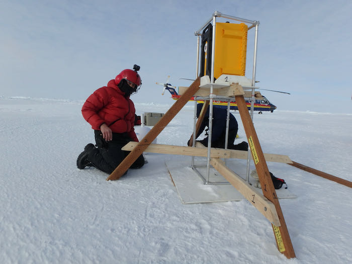
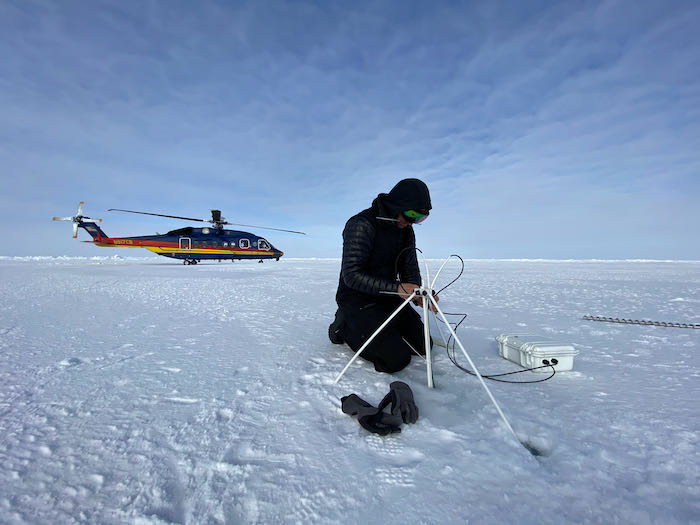
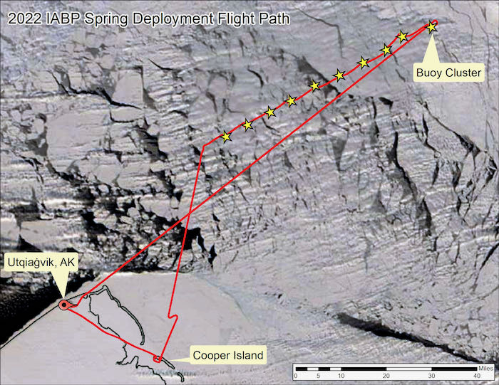
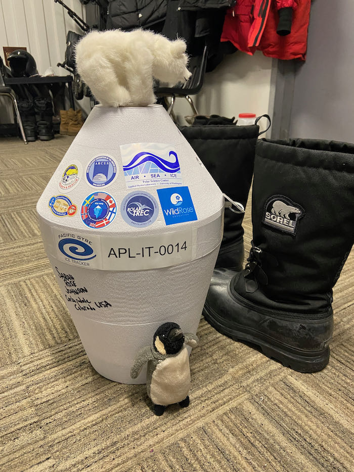
The arctic buoys we are deploying are not always built to float in open water; rather they are built to be long lasting sitting on top of the largest chunks of sea ice that can be accessed by the team via snow machine, helicopter and sometimes (not this trip), ocean going vessels.
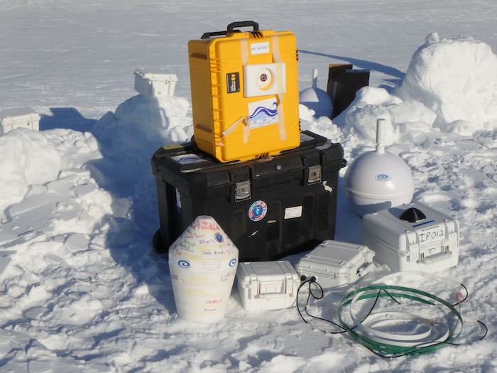
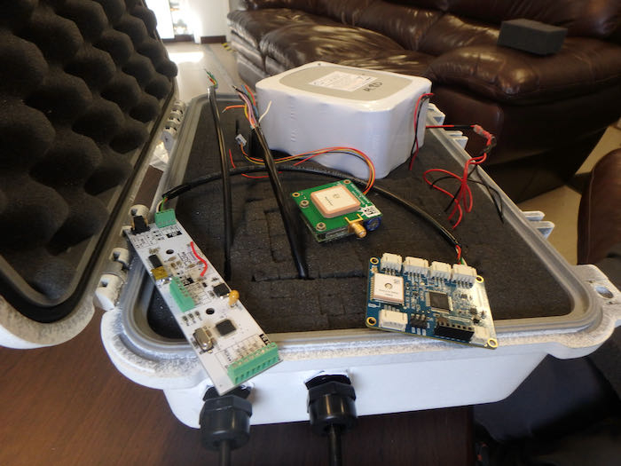
The Arctic buoys can measure a variety of parameters depending the specific equipment and purpose. These parameters can include the temperature profile above, in and below the sea ice, position (GPSA Global Positioning System (GPS) is a satellite-based navigation system used to track the location or position of objects on the Earth’s surface.), sea level pressure, time, ice temperature, and ice thickness.

Engage with IABP AK Spring 22 Deployment Expedition
- Subscribe to these Journals by Email on PolarTREC virtual basecamp page
- Write in questions and comments at the bottom of journal entries
- Watch KWBR radio interview from April 1, 2022
- Participate in April 5 PolarConnect live stream event at 9:00 am (mountain time)
- Follow on Instagram @Wild_Rose_Education
- Follow on Facebook @WildRoseEducation
- Follow #ArcticRuminations on other social media channels


View Comments