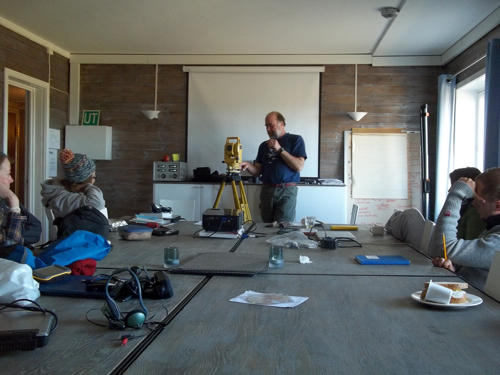
The final day of July here in Svalbard consisted of a busy schedule that kept many of us up until August. The morning was fairly typical with the 6 or so wakeup, coffee iv, and assorted cold cuts at breakfast (this morning's plated assortment was titled "an ode to lunchables…at breakfast"). We then hit the conference room at Isfjord Radio for a mini-surveying tutorial from Steve on our 'total station' which would give the AG212 students some precise location measurements. Such measurements could prove useful when trying to determine fluctuations in lake levels over time by measuring within centimeter accuracy the former shorelines. Most surveying jobs begin by finding known benchmarks to locate exact positions on maps as the total station, with its extreme accuracy, is a great tool but everything is 'floating' until tied to known coordinates. In our case, students would have to work off from easily recognizable points on the shoreline and the fairly constant elevation that is sea level (taking into account tides and wave action). From the sea, the day would consist of leap-frogging total station surveying sites until they reached the karst area a bit inland.

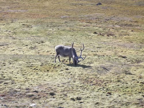
As for me, the day would be spent with the Mike, Helena, and Dion lake team completing follow-up troll casts on Lake Linne. By continuing to measure water column parameters at the same sites, we are in hopes to gauge both baseline lake conditions as well as more turbulent times of wave action that may stir up the shoreline solufluction lobes terminating into the water which could be pertinent to Helena's thesis topic of understanding secondary sedimentation inputs to the Lake Linne sedimentary record. That is, after coming across a reindeer that asked me what I ate for dinner last night on the way to my quarters…ghost of blitzen past...
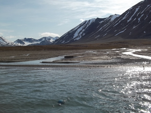
It was business as usual for the most part on the Linne boat until we came to the buoy/mooring locations we'd set in front of Linneelva (the glacial meltwater stream that drains Linnebreen upvalley) and the other major stream input on the south coast draining the nearby cirques of the western valley. At both sites we dutifully motored up to where the streams met the lake: looked ahead…nothing…looked left…nothing…worried a bit…then looked right…confusion. At both locations our buoys were happily bobbing just under the water surface in areas completely out of the stream's path. Had the Russians come over from Barentsburg and played tricks on us? Though possible, yet highly improbable for a number of reasons (the least of which being I've seen they have fly rods thus better things to do…), we determined that science may yet have had a hand in our mooring misplacements.
Science Alert: A serious case of longshore drift had worked its mobilizing magic and cut off our inflow. Longshore drift is the process most commonly seen on beaches where wave crests land onshore at an oblique angle thus imparting a force on sand grains and moving them up and along a line diagonal to the beach shore. Then, as the waves washes back to sea the grains flow back down the fall line of the shore until another wave comes along and repeats the process. What follows is a general z-shaped pattern of movement of sand grains down the beach. This is also the phenomenon that get seriously screwed up when beachfront properties or manmade structures get in the way, thus starving parts of the beach of sediment and overloading others when blocked.
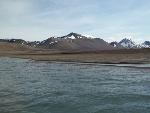
Such is life. So, we continued our measurements and made note of the current situation. We finished our measurements along the western shore and stopped at two more locations to install new solufluction stations. These stations consist of 1 kroner coins epoxied onto boulders within solufluction lobes. With heavy documentation in the form of field notes and pictures, the hope is that future researchers will be able to come back, identify the station, not steal the kroner (2-ton epoxy sticky fingers!), and measure the distance to the shoreline thus determining how much the slope has moved. For Helena, this was one of those 'give back' sort of moments that I was luckily enough to capture on camera.
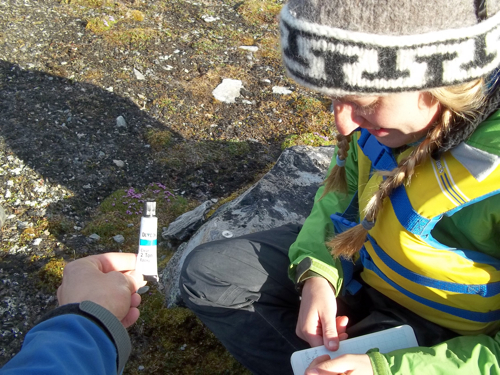
With research done for the day, we headed back to the main station, strolling much more easily than usual and taking in the scenery. It is amazing what extending a 60 minute walk by about 10 minutes can do to the feel of it. I am all for putting the hammer down but always try to remember what Ferris told me…
Back at the station we met up with a distinguished arctic geologist/geomorphologist Ole Humlum, who has had numerous roles in the sciences around UNIS and the University of Oslo. After a long day of traveling with the Svalbardkurset, he delivered a riveting lecture on Svalbard meteorology that despite it ending at 11 pm on a field day, everyone was enthralled. The Svalbardkurset is a group you'll hear more about tomorrow (we're to show them around Linne) that consists of Norwegian members of government and administrative offices touring Svalbard to learn about the arctic islands and their value as a resource for Norway. Ole has been their experienced guide and was kind enough to be ours for the evening…


Comments