After posting the mooring C temperature probe data, it was time to take one last sweep through the main station to make the final plans for the day. I'd be joining the AG212 students again in the karst area who had spent the morning working up their bathymetric data in GIS software.

While everyone who learns how to create a bathymetric map should have to do it by hand to begin with (a rite of passage of sorts), modern GIS (Geographic Information Systems) can make life pretty easy once you know how to navigate the software and produce some great figures. Check out Hanna and Elin's 'Lake 8' bathymetric map. The pond is shown at a slightly oblique angle with the deepest section in red and shallowing up to blue.

On days such as this when you hit the field for the afternoon, we've found it best to get done the work that requires a few hours of sustained manual labor such that you basically sprint it out until the hike back to dinner. Today, Helena and I joined Lauren at her field site (Lake 4) in the karst to dig another pit for temperature profiles to permafrost and sprint we did.

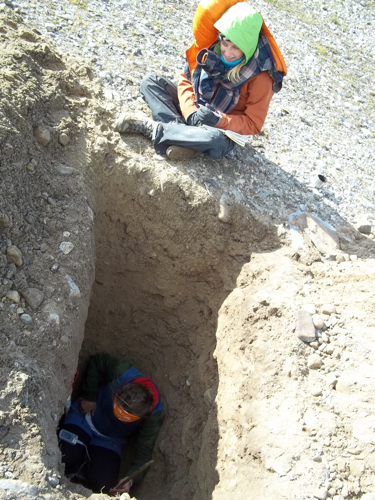
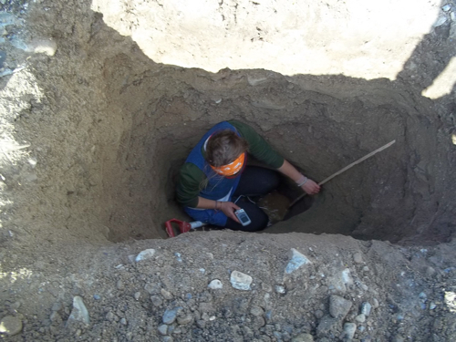
The site chosen to dig was atop one of the marine terraces deposited during the sea level high-stand at the end of the last glaciation, sometime in the early HoloceneThe time period beginning at the end of the last Ice Age about 11,000 years ago and characterized by the development of human civilizations. (~10-8k years bp). Accordingly, the digging alternated between gravely silt/mud, medium sand, and then a more cobble-sandy gravel (yes those shades of gray are all geologically sound descriptions). Every few decimeters we'd check the temperature at depth and we quickly saw that this would be a deep hole. A while later…

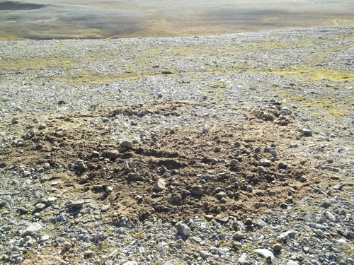
Yes, that is Lauren sitting 2.16 meters down into the marine terrace. At that depth we ran into water that is likely just a melted lens above the permafrost as the temperature was only 0.9 degrees (and our temperature profile followed a similar gradient to that posted a few journals back in the 'digging to permafrost' entry). With it 5 pm and our hole filling with water it was time to fill everything back in and hit the road. It is always kind of a bummer to not hit permafrost when that is your goal but somewhat tempered when you at least hit water. Plus, I think 2.16 meters was the new record, go us.

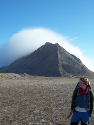
On the way home we were treated to beautiful views of the mountains and coast, followed by dinner, and a back that was ready for rest...


Comments