I have been taking my GPSA Global Positioning System (GPS) is a satellite-based navigation system used to track the location or position of objects on the Earth’s surface. where ever I go and Summit is no exception. I really do like to see where I am, especially when flying on airplanes. Only once did I have a flight within the US where I could access a GPSA Global Positioning System (GPS) is a satellite-based navigation system used to track the location or position of objects on the Earth’s surface. unit in the seat in front of me and that was awesome. So I just carry my own GPSA Global Positioning System (GPS) is a satellite-based navigation system used to track the location or position of objects on the Earth’s surface. with me.
I am going to give waypoints for Summit camp buildings and pictures of those structures in this journal for anyone who would like to use them. Some structures are temporary and I have not included them. Assume that the coordinates are given as lat/long in decimal degrees.
My tent: 72.57950; -38.46229
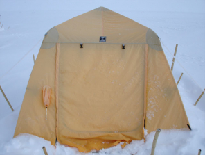
Recreation port: 72.57957; -38.46149

Outhouse: 72.57938; -38.4614
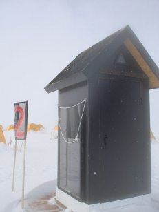
New food freezer: 72.57929; -38.46071
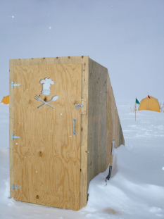
Big House: 72.57886; -38.45957
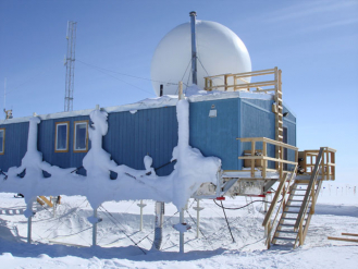
Greenhouse: 72.57921;-38.45721
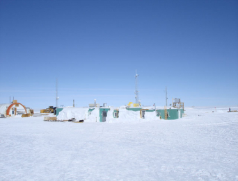
Melter (for water): 72.57959; -38.45719

Windmill: 72.57916; -38.45546
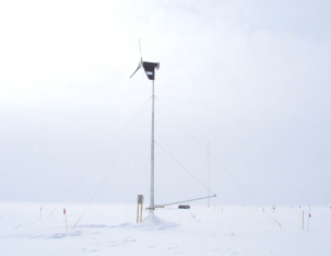
Power generator: 72.57950; -38.45613
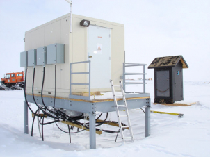
Back up generator: 72.57962; -38.45611

TAWO (temporary atmospheric weather observatory): 72.57733; -38.45529
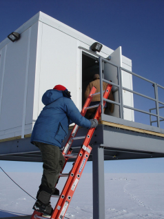
Science Trench: 72.57698; -38.45634
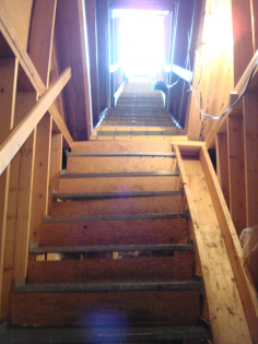
<span class="tx-tooltip" tabindex="0">Satellite<span class="tx-tooltip-text" id="polartrec_vocabulary-1458">An object placed in orbit around the earth to collect or transmit information.</span></span> camp: 72.57379; -38.47073 and Bally building: 72.57344; -38.47153

Bore Hole (GISP2): 72.57602; -38.46494
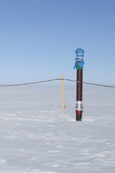
Hope folks find the coordinates and pictures useful. Enjoy.
Jo Dodds


Comments