Join the Polar research team as we use technology to join Dr. Carin Ashjian this summer as she continues her research in the Arctic! I will be posting Dr. Ashjians journal details of this summer's research expeditions. We first caught up with her onboard the icebreaker U.S.C.G.C. Healy and are now following her onboard the R/V Anika Marie with Captain Bill Kopplin, where she and her team members will continue their Barrow-based research studying the oceanographic conditions of the bowhead whale habitat.
Journal
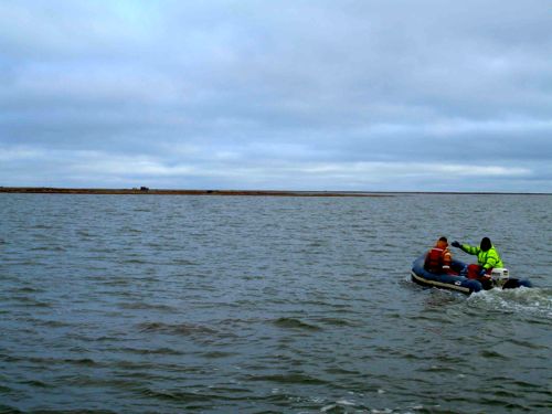
A blustery day here in Barrow. We had a run of bad weather earlier this week that kept us on land. On Thursday, however, the weather forecast was not bad and the winds were supposed to die down so we decided to venture out and sample along our longest transect line, Line 6. The forecast called for the winds to die during the day so we decided to leave mid-morning and transit east in the Lagoon before venturing out to see how the waves were in the Beaufort. Our first activity of the day, however, was to deliver some water to George Divoky and his team on Cooper Island. George has been studying Black Guillemots on Cooper Island for over 30 years. Each year, he and a couple of assistants spend the nesting season on Cooper Island, monitoring the chicks of the black guillemots, figuring out what the chicks are being fed by their parents, weighing chicks, and the like. The team lives in several tents and a cabin on the Island and relies on water either collected during rain or brought over from Barrow. Water was running low on Cooper and, since we were going past the Island on our way to Line 6, we loaded up a jug of water and brought it out.
Shortly after we set out the gear and started transiting offshore, there was a call of
“blows!’ from the bridge where Steve and Bill had sighted blows from whales. We scrambled to look out and were treated to the nice glossy backs and flukes of about 6 bowhead whales. The whales likely heard us but seemed not to care as we passed them by and headed further out into deep water.
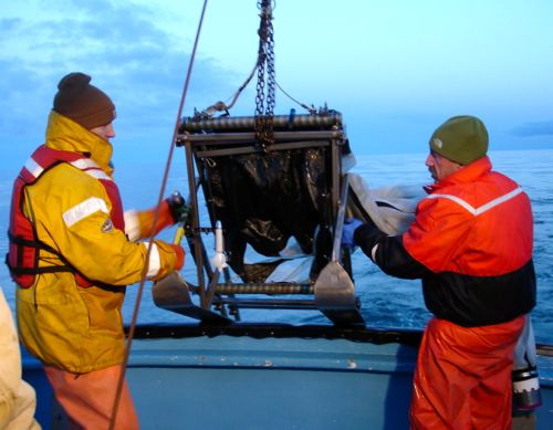
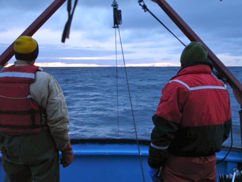
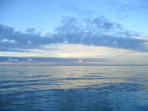
We were treated to a nice sunset as we worked the station furthest offshore, conducting the CTDA research tool that is submerged in the water to measure conductivity (salinity), temperature, and depth. cast and multiple net tows at around 10 PM. Usually the sky is gray, the waves are gray, and we see no sunlight since the cloud cover is continues. This evening, however, the light from the setting sun peaked through some gaps in the clouds. The waves were steel gray and the oblique rays of indirect light provided an illusion of texture to the top of the sea. After our first station, we headed inshore, stopping to do a CTDA research tool that is submerged in the water to measure conductivity (salinity), temperature, and depth. every 3 miles along the way and to do net tows and water sampling at locations that we selected based on our plots of data collected in the way out.
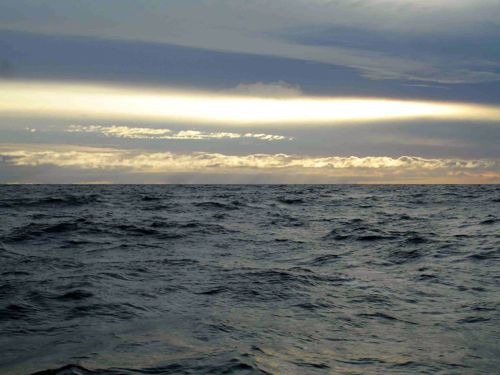
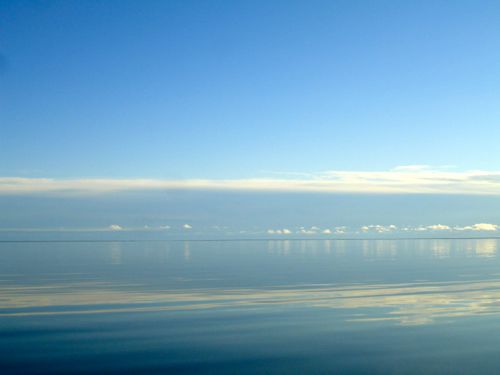
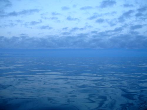
It was a long night. Although the sun set, the sky never became totally dark, with a persistent streak of pink along the horizon. As we moved along the line, dragging ourselves out of near sleep at each station to deploy the CTDA research tool that is submerged in the water to measure conductivity (salinity), temperature, and depth., set the nets, record the positions, the seas started to subside. By the early morning hours, when we approached the location where we had seen the whales, the sea was glassy and reflected a complex and textured sky of clouds. We sampled at the location where the whales had been (and saw a whale there again, perhaps it had been sleeping before we came along) and found many of the lipid-rich copepods of the genus Calanus that are found usually further offshore, in water deeper than 15 m, and also many krill. Both are prey for bowhead whales, explaining why this spot was where we had seen the whales.
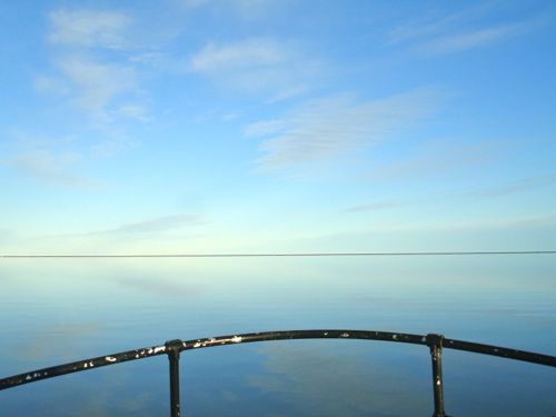
With the dawn came the most exquisite day we’ve seen in Barrow for several years. As we finished our work and headed for home (a 1.5 hour transit), the sun rose over a glassy sea, reflecting the clouds and light. The lagoon was a mirror. Annika Marie slid through the water smoothly, as we cruised at about 14 knots. A truly lovely day.
Last evening we celebrated Steve’s 60th birthday with a party at our friends Craig and Cyd’s house.

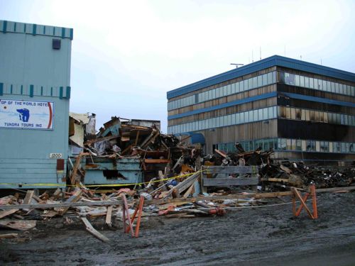
We ordered pizza (including one with no cheese just for Steve), ate homemade guacamole (strangely, avocados do not cost a whole lot more in Barrow than they do in Falmouth MA and fresh cilantro is available in the Barrow supermarket), enjoyed cake and ice cream, and gave Steve some very funny presents. Today the wind is blowing 15-20 knots from the west and the Chukchi Sea is very angry. Tomorrow, we hope to go out. Last night, a landmark in Barrow, Pepe’s North of the Border Restaurant, burned down. It is hard to imagine Barrow without Pepe’s. The restaurant was adjacent to the Top of the World Hotel and the Wells Fargo Bank building, both of which escaped destruction but did sustain some damage.


Comments