August 25, 2013 - Kangerlussuaq, Greenland
Our last day in the Arctic brought us to Kangerlussuaq, Greenland. I have tried for a while now to pronounce the name correctly, but am far from perfect. Phonetically it is spelled as: gang-er-loose-sue-arc. You can click on that link to hear the pronunciation.
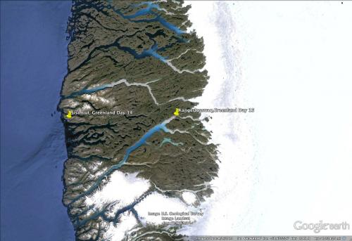
I was excited to visit Kangerlussuaq, since my daughter Jeannie, spent a month in Greenland with the Joint Science Education Program (JSEP) in the summer of 2011. You can read her PolarTREC journals and blogs about this experience. After traveling 3,062 nautical miles, we left the National Geographic Explorer for the last time in the fjord, and boarded buses and tundra buggies to tour the area.

Russell GlacierA mass of ice that persists for many years and notably deforms and flows under the influence of gravity.
Once everyone had a seat in a vehicle, we proceeded on our 5-hour tour of the area. Jeannie had commented after her work in the Kangerlussuaq area, about the adventure of traversing the "roads" in the area. She said that the bumping around and jolting you get on the Indiana Jones ride in Disneyland was nothing compared to traveling around Kangerlussuaq. I was happy to be in a tundra buggy rather than the school bus some guests were riding in.


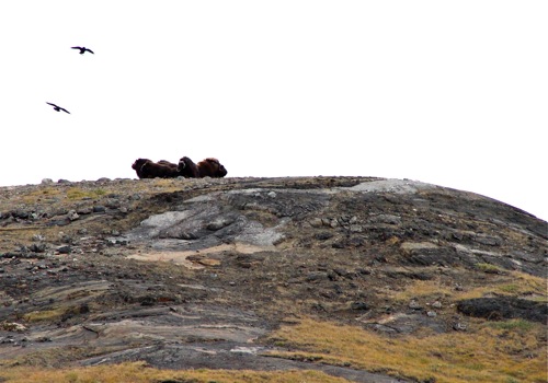
We were treated to musk oxen on the hillside opposite the Russell GlacierA mass of ice that persists for many years and notably deforms and flows under the influence of gravity.. In late August, the tundra was beginning to take on autumn colors. Our day was rainy, windy and cold, but it was great to get out and explore at the various stops on our tour.


Greenland Ice Sheet
We eventually reached the end of the road that led us the Greenland Ice Sheet. It was amazing to venture out on this enormous expanse of ice. I wish that I had not packed away my warm boots and neck gaiter, but the cold was not going to deter me from this opportunity.
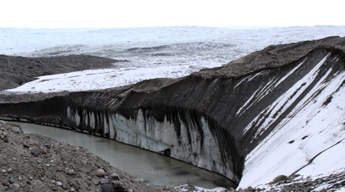

Here are some facts about the Greenland Ice Sheet:
The Greenland Ice Sheet is called Sermersuaq in Greenlandic.
The Antarctic and Greenland ice sheets combined contain more than 99% of the world's freshwater ice.
The Greenland Ice Sheet covers 656,000 square miles (1.7 million square kilometers). This is 3 times the size of Texas, or 14 times the size of England.
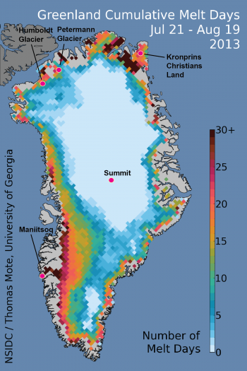
If the Greenland Ice Sheet melted, sea level rises are estimated at 6 meters (20 feet).
Scientists study the Greenland Ice Sheet in a variety of areas; including quantifying the melt rate, and analyzing the history through ice cores.
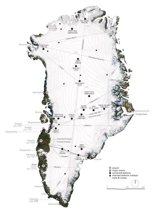
It was sad to finish our Arctic expedition, but touring the Greenland Ice Sheet and Kangerlussuaq was a great ending.

- < prev
- 58 of 58


Comments