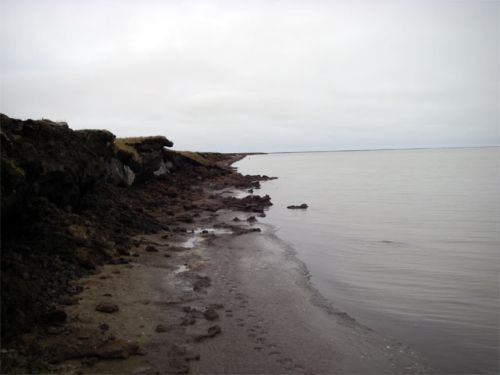
This past Sunday gave me another opportunity to take a Sunday stroll. This time, I joined University of Texas – El Paso graduate student, Adrian Aguirre, on his coastal erosion monitoring project. The concept is pretty straightforward, yet the data collection and the mapping is rather sophisticated. The goal is to monitor the south end of Elson Lagoon, where waves and ice tend to cause the greatest erosion of the tundra.
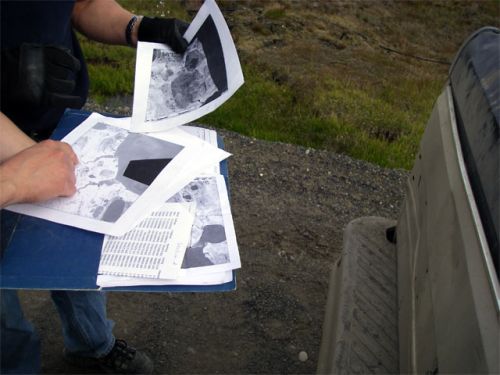
We checked out the map and explained to the BASC driver, Nok, exactly where we were going so if something happened, he could come and find us.
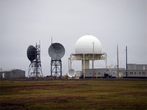
To get started, we grabbed a ride out to the LRRS, home of the northernmost totem pole in the USA. Once we got loaded up, we started out over the tundra. I realized after a few minutes that I had forgot to tuck my Carhartt’s into the top of my boots. Oopsy, Carhartt’s get really heavy when they get wet, and once they are wet, you can’t go and stick them in your boots. Live and Learn!!
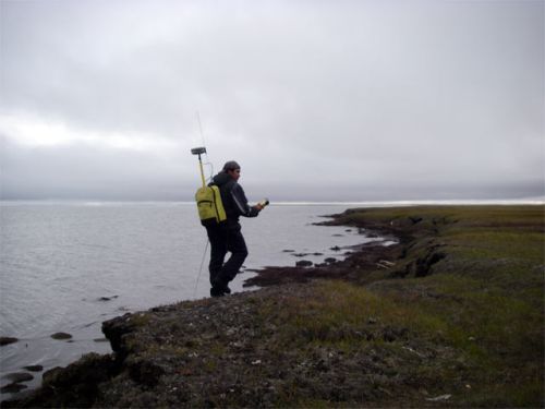
Once we got out to the lagoon, we geared up. I was the sherpa, I got carry the tape measure, the 2m extension pole for the GPSA Global Positioning System (GPS) is a satellite-based navigation system used to track the location or position of objects on the Earth’s surface. unit, peanut butter, jelly, bagels and the shotgun. The shotgun was in case of bears, Adrian was more than happy to have me carry that hunk of steel. Needless to say, it was not needed.
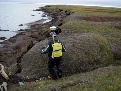
Adrian heads off, walking along the top edge of the bluff. The GPSA Global Positioning System (GPS) is a satellite-based navigation system used to track the location or position of objects on the Earth’s surface. is over his let shoulder, as close as possible to the water. Adrian did this same procedure in the spring so the strategies are the same.
I started out more or less paralleling Adrian and then I got smart. I just stayed about 5 meters inland of him, cruising along looking for places where we would take measurements of the depth to permafrost along previously established lines or transects. How deep do you think the permafrost is? The ground at this level is permanently frozen up here, …., the deepest depth to permafrost was 40 cm or 16 inches, the shortest depth permafrost was 27cm or 11 inches. No wonder gardens don’t work all that well up here.
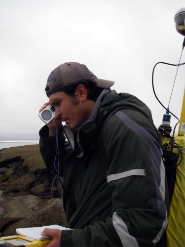
Another part of the experiment was the angle of the slump or the soil and grass as it flew off down to the coast. The clinometer was a great tool for this activity.
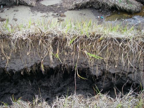
I was too busy checking out the soil. Look at the roots!! Remember this is the same material that the native Inupiats used to build their houses, very thick, durable material!!
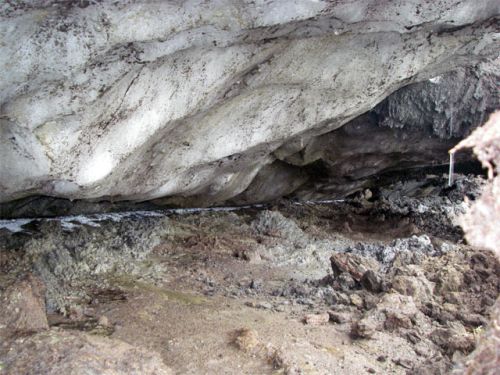
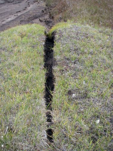
We saw some amazing geology out on the tundra as well as right down where lagoon and tundra meet. I’ve heard of sand wedges but not ice wedges!! Check out the ice wedge and learn more about them at: http://arctic.fws.gov/permcycl.htm
More about this great adventure in the next few days. Big thanks to Adrian Aguirre for a wonderful time. Good luck with all your research!!


Comments