IT'S BEEN A WHILE, I KNOW!
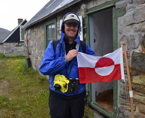
So what's been going on with me since my incredible 2010 PolarTREC experience? Well, lots. Teaching is as busy and rewarding as always, all the better now that I have all of my awesome PolarTREC stuff to enhance my curriculum. I got to visit my research team at the USGS Marine Science Lab in Menlo Park, CA (see the previous 5 journals about that trip) and have had the honor of presenting photo tips to the last three PolarTREC teacher cadres. I've given presentations about my experience to various groups, and have another chance to spread the word at the upcoming National Science Teacher's Association Convention this December in Denver. But this past February I received a very interesting phone call. It was National Geographic, asking if I would like to go to Iceland and Greenland! I had applied for the Grosvenor Teacher Fellowship the past fall and much to my delighted surprise, was accepted. I was going back to the Arctic, again by ship. Instead of a Coast Guard icebreaker, this time my conveyance would be the National Geographic Explorer, an ice-strengthened expedition vessel. Now I've just returned home from the 12-day excursion, which traveled from Reykjavik up the west coast of Iceland for a day before crossing the Denmark Strait to Greenland. We explored the southeast coast of the planet's largest island (Greenland is over 3 times the size of Texas), cut across the southern tip via connected icy fjords, and then followed the southwest coast up to the capital of Nuuk before continuing to our exit point at Kangerlussuaq. The theme of the voyage was Along The Viking Trail, following the path of early Norse exploration and colonization of Greenland. I really enjoyed that aspect of the trip, though the opportunity to explore natural history was equally amazing. I thought I'd add some journals to my PolarTREC page to share some of the polar science I learned and experienced on the trip.
TODAY'S JOURNAL:
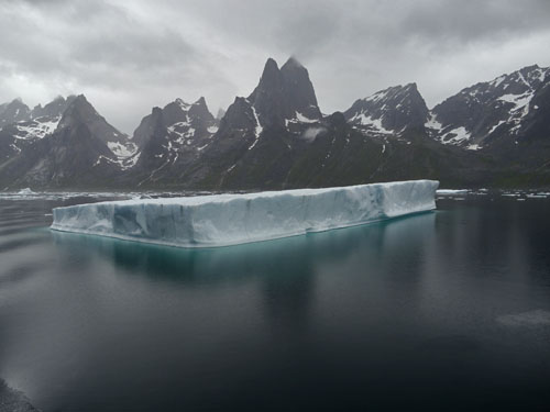
One aspect of the trip that excited me was the promise of seeing icebergs. On the Healy cruise we were in pack ice for most of the cruise (for example, see my 19 August 2010 entry on breaking ice. However, the parts of the Arctic Ocean that we traversed were free of icebergs, which come from glaciers that reach the sea. In Greenland we had some sea ice brought down by the East Greenland Current, but most of the ice we saw was of glacial origin. I learned some terms for various types of floating glacial ice from our experienced naturalists on board that I'd like to illustrate with photos:
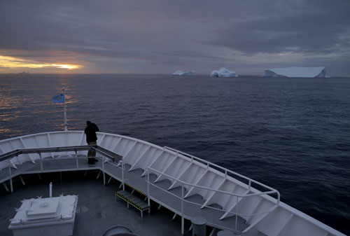
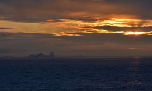
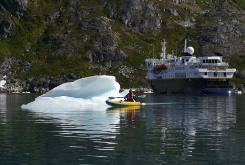
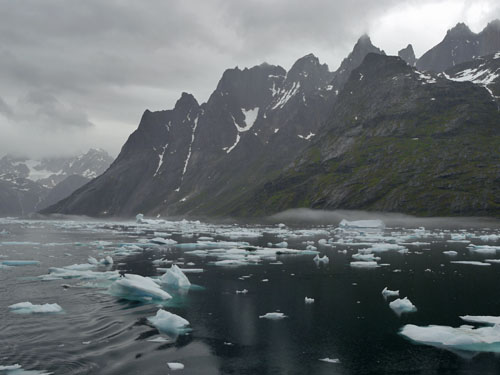
I'll finish with this short time-lapse video of the Explorer leaving Skjoldungesund FjordA deep U-shaped valley formed by glacial erosion, which is filled with seawater as the glacier retreats.. See if you can find icebergs, bergy bits, and growlers! http://youtu.be/N8a4aIfRIZ0
That's all for now! Best- Bill


Comments