At this Kongress, there are no metal detectors, no guards, no leather upholstered seats, and the only thing anyone can be elected to is the now infamous party known by the Lund Univ. contingency as "the incapables." Kongress in this case stands for the lake we visited quite early in our Svalbard adventures. It is located up high (~100 meters) on the divide between Lake Linne and the visiting fjord that is home to Barentsburg, the Russian settlement on West SpitsbergenSpitsbergen is the largest island in the Norwegian High Arctic archipelago of Svalbard. To see a map of Spitsbergen and Svalbard click here.. Kongressvatnet has been sort of a satellite project to those taking place within the Linne valley where a few past students have done thesis work looking at processes such as lacustrine sedimentation or geomorphic/glacial mapping of the watershed. Accordingly, the lake has been and is home to moorings similar to those that we've serviced in Lake Linne and making it up to pay them a visit has been a project on the back-burner that today we finally accomplished.
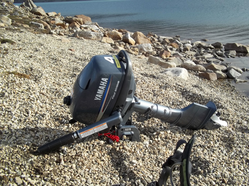
One of the reasons Kongress has been on the back-burner is that we currently do not have a student actively researching the lake (though the continuous record must be continued). Another is that we have a boat stowed next to the lake…but…no motor. The second reason is why I am loading up on ibuprofen this evening and walking kind of funny. The way up to Kongress is not particularly horrible but the motor on the frame pack was apparently the straw that broke this stubborn sherpa's back. Not to worry though…we accomplished most of what we set out for and there is only one more day of field work.
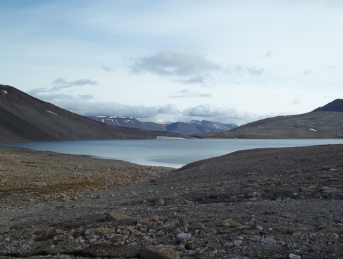
Kongressvatnet is a type of lake that is particularly special as it meromictic. This term applies to lakes whose bottom waters are not annually renewed/mixed and thus form a lens of anoxic water over the deepest sections. Meromictic lakes are typically those with a very high depth to surface area ratio such that at times when the lakes are not thermally stratified, the fetch of the wind is not enough to mix the surface water all the way to the bottom. If any of you have ever swam in a temperate lake during the summer you may have noticed a very sharp, cold boundary at your feet. That boundary is called the thermocline and marks the depth at which the surface waters are mixed by the wind and thus thermally homogenous. Now imagine that that the thermocline gets deeper and deeper as the season progresses toward winter and the water column is thus isothermal (all the same temperature). With no thermocline anymore the water column has no density boundary and in most lakes they become mixed by the wind to their greatest depths. In meromictic lakes though, the wind is never strong enough so no surface oxygen gets circulated to the depths and typically higher conductivity waters devoid of oxygen gather at the bottom and are never disturbed by turbulence or biological life (bioturbation) because there isn't any oxygen to support them. Voila, now you have a set of conditions where you can create laminated (finely layered) sediment in a lake that has no major on/off sedimentation source like that of Linnevatnet, governed by the melt season producing coarse spring/summer layers and then capped off by winter clays settling out. I've got a few lakes like this in Maine that are little gems for climate research…layers = a way to break things up chronologically.
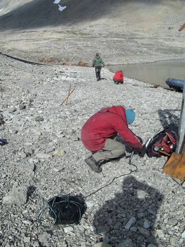
With all the gear hiked up to Kongressvatnet we were able to fit three of our five into the small boat and search for our mooring. It took a bit to find given the wind and waves but we were able to recover the mooring that was set a bit deep given the higher lake level than usual. Upon pulling the 50 meter (I said it was deep) mooring into shore we noted the effects of the sulfides in the bottom anoxic layer (the hypolimnion) on the once bright red funnels. The plastic had turned an eggplant purple color and smelled a bit like home, like lobster that is.
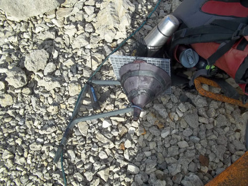
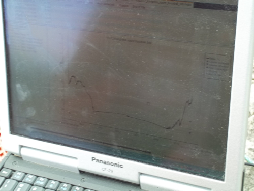
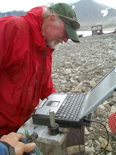
We changed over the tubes on the sediment traps with fresh ones and packed away the sediments gathered over the past year. After that, Mike got out his 'toughbook' computer and used the infrared, optical probe scanner to save the year's worth of temperature data from each of the different lake levels.
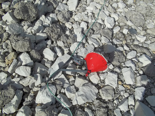
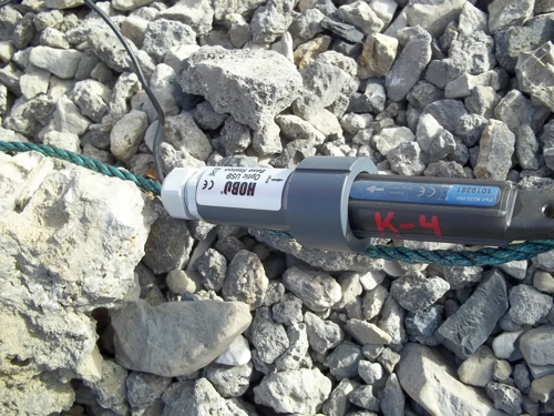
The last data to download came from a level logger that was located on the upper buoy which had been measuring the change in overhead pressure based on the amount of water overlying the probe. When corrected for barometric pressure pushing down on the lake by the atmosphere, this probe can yield very handy results for karst lakes like Kongressvatnet that have a tendency to drain and fill based on the dissolved bedrock's whims.

With the mooring redeployed by Hanna, Elin, and myself it was time to pack up and meet Steve and Helena for a ride home from the south boat park. Home by 5:45 pm, finishing this journal at around 6:45 pm…it is time for dinner (and a fistful of ibuprofen).


Comments