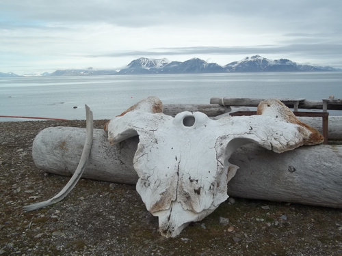
By about field day number 7-9 in a row it seems that all of the data that's been gathered, things put off, things that need learning', or simply mangled feet from hiking hours and hours must be dealt with and everyone in the groups has got something in at least one category. Accordingly, today for most of the group was a day to get organized back at base camp (with the exception of a couple who swapped today and yesterday).
Kayla and John had a chance to process some of their 48 samples returned from the glacier yesterday. This consisted of setting up a 4-unit filtering station attached to a vacuum pump and running known amounts of their samples through circular filters, drying them, and eventually weighing the amount of suspended sediment carried in the meltwater. This process takes about 5 hours to run all of the samples so students, the next time you see a fancy x-y scatter plot in a scientific paper, don't forget what it may have taken to get that data!
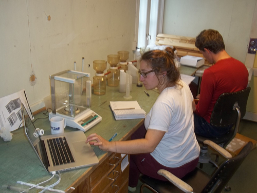
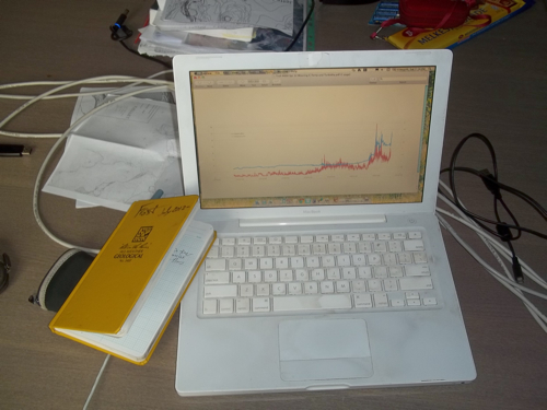
Helena, Dion, and Mel had a chance to catch up on data processing and planning for tomorrow's field day while Lauren, Lukas, Louise, and Dagmar worked with Sara to master the fine art of GIS mapping for their pond's bathymetric profiles. Mike made it out to the field with Hannah and Elin for some geomorphic mapping and that left Steve and I to work up our own data and plan. Leave anyone out?
My own work time was spent gathering as much data and resources as possible while out here. Having access to high quality data fresh off the press is an opportunity I don't take lightly and look forward to putting to use over the coming academic year and beyond. It also gets me psyched to still be making conjectures on environmental processes and reconstructing paleoclimate/paleoenvironmental change. As for my Environmental Science students next year, we will be reconstructing the melt season using all of the different parts of the puzzle to figure out the 2012 nival melt sedimentation, which is something much along the lines of Dion's work he'll be following up on. Expect to be synthesizing data from temperature loggers, time lapse cameras, turbidity sensors deep in the lake…ahhh the possibilities are endless…plus, the analysis you'll be working on does not go into a black hole. While real-world data can be rough, not clean cut, and require many different intricate explanations, that means the more eyes that see them the better and your conclusions could be far reaching. Data gets me psyched…
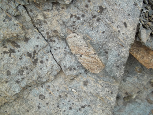
By about 3:30 it was time to stretch the legs so Steve and I got out for a hike around near the coast. Along the way we came across some bedrock outcrops whose lithology (another word for rock type, lith = stone) has done much for the 'Snowball Earth" hypotheses. In these outcrops dating back to Precambrian times (~500-800 million years ago), you can find nicely rounded granite stones that fell into marine muds. The theory is that there aren't many ways to round a stone nicely other than rolling around in water and even fewer ways to get them into fine grained marine muds far offshore other than rafted in icebergs. Couple that with the fact that these muds were formed in far warmer places than they are today…well, you've got one cold planet. It is thought that at least a few of these snowball earth periods have happened quite a long time ago (hundreds of millions of years) due to the interplay of a less luminous sun and tectonically initiated silicate weathering drawing down carbon dioxide levels. Methane was also lower during these time periods as oxygen in the atmosphere concomitantly increased thanks to a slick process, photosynthesis. Add a positive feedback loop here and there and presto, the tropics are colder than an outhouse in Svalbard.
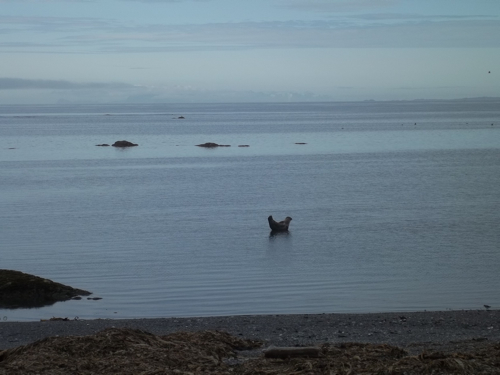
With a bit of a walk to go, I pondered the snowball earth idea a bit more and got the chance to hear the other areas that Steve teaches at Hampshire College. Such courses include topics on geologic controversies (dating back to the age of the earth, plate tectonics, and global warming), geologic hazards (how far back should you let that mansion be built to the flood plain?), and campus sustainability. After gleaning some ideas I may just have to poach (thanks Steve!) we came upon a seal that was either floating on what seemed to be a postage stamp of water, doing yoga on a subsurface rock, or some degree of both with emphasis on the stretching and holding bizarre poses. Regardless, we nodded hello while doing our best not to disturb it, completed our loop, and made it back for a special supper including Reindeer heart (sorry blitzen) and an interesting Norwegian (w/ spanish influences) salt cod dish. Yum and good night.
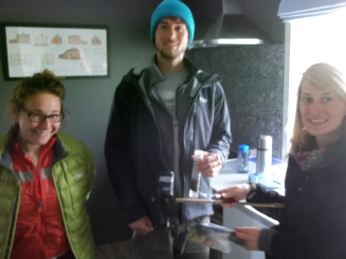
Last minute addition: As I was getting ready to load this journal I saw some commendable seat of the pants field preparations by Helena, Dion, and Kayla. Out of an aluminum can, broom handle, electrical tape, and a reusable bread pan they'd fashioned a shallow water sediment sampling device and coring apparatus. Bravo!


Comments