The play by play will be rather abbreviated today as the groups split to divide and conquer much the same as yesterday. Dion, Helena, and I were given a chance to adapt to and overcome the lake obstacles while a group headed up to the glacier (Steve, Kayla, Mel, John, with help from Hanna and Elin) and the AG212 folks out to a coastal lake.
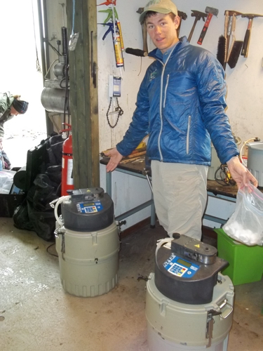
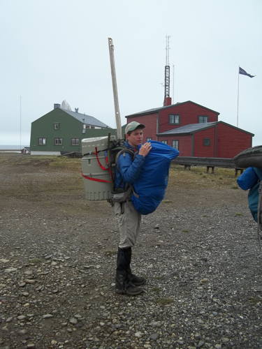
Things got off to a quick start thanks to a productive evening logistics meeting last night and by 10:30 am we had already shuttled ourselves across Linnevatnet and were wishing our glacier friends good luck. They were to head up to the glacier's Little Ice Age moraine to start taking rock samples for exposure age dating (Mel's thesis work) and then install some devices called 'iscos' that look like scientific versions of R2D2. The 'iscos' are battery powered and sit by the meltwater stream with long hoses that run into the flowing water. These hoses sample and store sediment filled water at regular intervals to later determine the suspended sediment and dissolved load of the stream. The load itself will determine how much is transmitted to the lake and also vary depending on environmental conditions (how warm it is, a precipitation event, etc.).
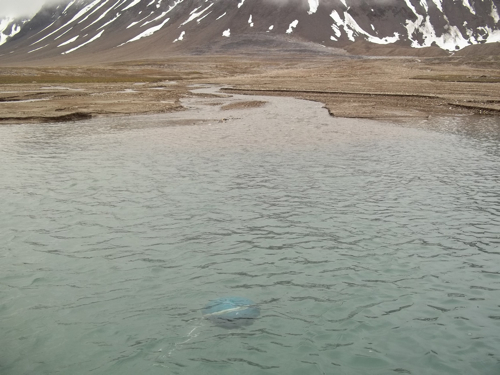
Our tasks: deploy the remaining buoys & sediment traps (8 in all), take troll casts at all of the new sites, and then find our two buoys that were hiding somewhere in Davy Jones' locker. Remarkably, everything went really well…like really well. If you're anything like me, you face tasks thinking of all the complex situations that could arise and wreak havoc, all of the parts that could break, the weather that could turn. Not that I am a pessimist but simply a realist when it comes to certain jobs (most often carpentry, auto mechanics, anything for for family but I still do them, and field work). It is therefore all the more gratifying and surprising when things work seamlessly. All the buoys were deployed, we got great data from the troll casts, and made significant progress on even assembling traps for other parts of the lake. On our walk back we complimented ourselves accordingly and hoped in the back of our minds we didn't unwittingly bungle things up (again, a realist).
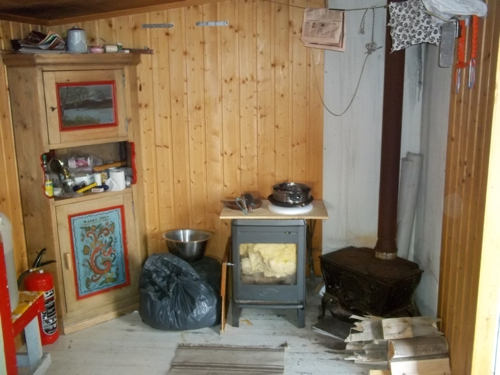
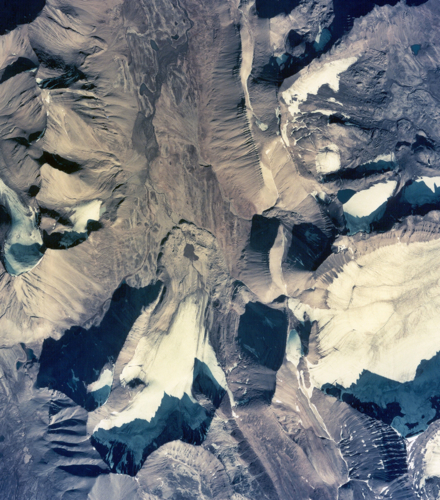
Not that exciting when things go really well huh? At least the data will be once we graph it up and put it to use. To round out today's post I've instead added a few pictures that may help give some perspective on our field area. The first few are of the cabin interior located at the southern boat park (grand central for those heading to the glacier or working on Linnelva south). This cabin is owned by the folks at Telenore (a norwegian telecommunications company who used to run Isfjord Radio) and our own Steve Roof and his wife Maddy lived there for many weeks during a past field season in hopes to catch the spring snow melt in the watershed live time. The others are a few aerial photos of the field area taken in 1936 and then in 1990. Though from different perspectives, a discerning eye will be able to note some changes that I'll point out in the picture captions. With that, night folks…





Comments