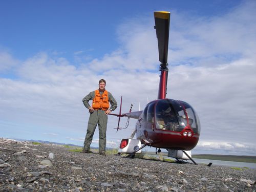
Today was a great day for flying with sunny skies and no rain so Bill decided we should take the whirlybird up to have a look around. This is called survey work. Bill goes searching for places that have pre-historic sites on them. Usually he's looking for flakes from ancient tool makers or depressions in the ground left by old homes. In fact, it was during survey work back in 2007 that he discovered our current dig site, Raven Bluff.
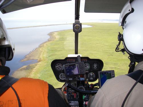
Right after we took off we flew over three big brown musk ox running across the green tussocks. They have shaggy long fur that is bleached along their spines. You can find their fur stuck in the branches of the willows along the river. What a sight to see these prehistoric-looking beasts running wild!
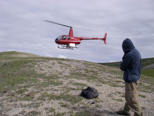
Our first stop was a long, gray ridge above the coast of the Chukchi Sea. From the air Bill thought it looked like a great place for us to explore on foot. The pilot Stan dropped us off, planning to pick us up later. The BLM has supplied me with fire-resistant Nomex flight gear to fly in, but I took it off to hike. We walked along the ridge, eyes glued to the ground, looking for signs of flakes left by prehistoric tool makers. After a mile, we reached the end of the ridge. I found a large caribou antler, but no flakes. On to the next stop.
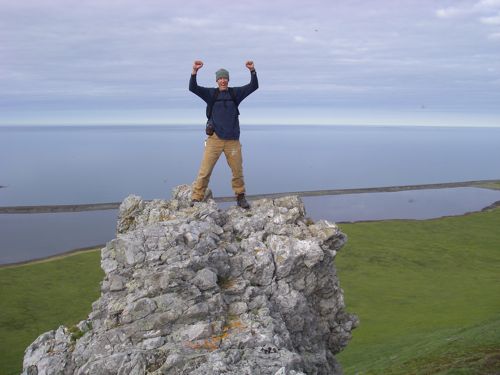
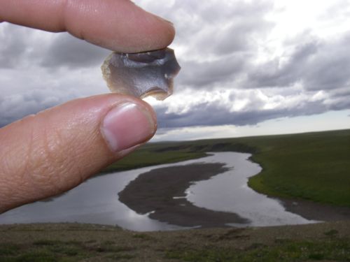
Soon we had landed atop a bluff over a bend in a river. It was Stan who spotted the flakes first. They were scattered every where. There were brick-red-colored flakes, gray ones, green ones, black ones. These are the flakes left behind when someone chipped away at a stone point for their spear or arrow a long time ago. Each tiny flake has sharp, translucent edges. It's easy to see that chert would make great sharp tools in the hands of a skilled tool maker. Bill carefully documented this site with GPSA Global Positioning System (GPS) is a satellite-based navigation system used to track the location or position of objects on the Earth’s surface. coordinates and several photos. It's neat to imagine the groups of people who once camped on that bluff with the river below.
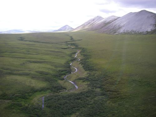
On our way back we saw a brown bear running fast along the river. His fur was patches of dark and light brown. This is an incredible landscape of sweeping green valleys and raw, towering peaks. I like to imagine the lower 48 states looking sort of like this before they were so developed. Alaska is a wonderful place to spend a few weeks doing archaeology!


Comments