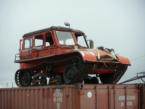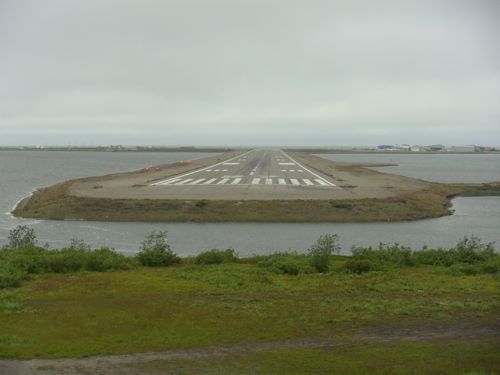
Today Ian and I hiked out of town to get a look around. We wandered out the main road which apparently dead ends out in the tundra because you can't really drive anywhere from Kotzebue - you have to fly or go by boat. A new summer camp is starting tomorrow and all the local kids are arriving either by commercial flights, small bush planes or coming in family boats across the water. You can see in the aerial photo that Kotzebue is on a peninsula. Folks use interesting vehicles to get around out here. We saw this unique, orange snow vehicle stored atop a shipping container in someone's yard.

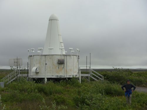
We crossed over a small inlet the fishing boats use to come into the bay. Farther out was a bluff with a white cone radar tower. We walked toward it. Atop the bluff we found one of the local cemeteries. The local people use big, wooden crosses to mark their graves.

Also from the top of the bluff we had a great view of the planes coming to land on the spit.

The white radar cone is used by the approaching commercial jets to land when the weather and visibility are poor. There used to a be a military base out on that bluff during the Cold War with the Soviet Union but that has been dismantled.

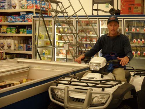
After our hike we walked back into town and went to the grocery store. I was impressed to find a 4-wheeler in the frozen goods area. It cost $9,200. There was a smaller one for kids which cost $3,699.

Now back at our BLM house, I'm working on my computer and satellite phone skills. Starting Tuesday I'll have to send emails through the satellite phone. I think I'll have to send fewer photos because they are large files and the phone has a limited capacity.


Comments