We arrived at Allison Lake after a 6 hour drive from Anchorage. From Valdez it took 3 float plane trips (Cordova Air) to get all 5 of us and a lot of gear (really heavy gear) up to the lake.
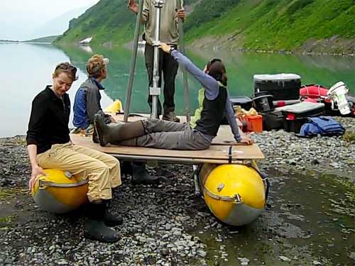
The first job was to set up our tents and then put together our inflatable motor boat and the raft that would be our coring platform. These will be indispensable for the tasks we need to accomplish at this location.

Next jobs: retrieve temperature logger from the ridge at the south end of the lake;
begin assembling gear for making cores; dinner. (The rain began at dinner after a beautiful sunny day. The rain made the bugs go away...yippee!)
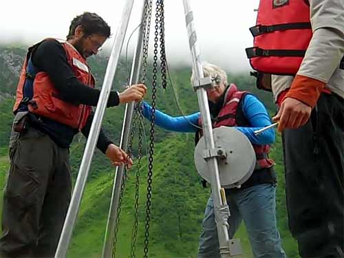
This morning 3 of us went out right away and pulled in sediment traps then the whole crew boarded the 2 floating crafts and headed for a pinpoint GPSA Global Positioning System (GPS) is a satellite-based navigation system used to track the location or position of objects on the Earth’s surface. location that was pre-selected to try to get our first long core. For this we used a polycarbonate tube 2.3 meters long, attached to wire rope cables and lowered into the lake from a derrick we had erected on the drilling platform (affectionately called the Banana Smoothie). The actual process of coring was much the same as for short cores, but using a much heavier weight to pound the tube down into the sediment.

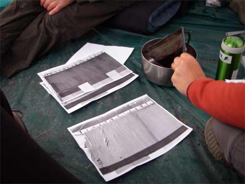
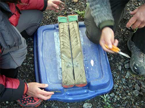
Short cores taken from Allison Lake in past years have been .5 meters long and have revealed 100 plus years of climate history. The idea is that a core 4 times as long would reveal information from as long ago as 1500 to 2000 years. The sediments from Allison Lake have shown distinct annual layers (varves). Likely their thicknesses and grain sizes will relate to conditions at the lake during that time span.

Between having a reasonable expectation of distinctly visible varves and an almost ideal geologic setting (smaller glacier-fed lake in an isolated cirque with distinct inflow and outflows ) Allison Lake holds real promise for this research team.
EMILY asks: "What do paleoclimatologists do?" PaleoclimateThe climate of a former period in geologic time. means climate during the history of earth so generally we think of paleoclimatologists as studying the climate of long ago. That is what we are studying. We use the proxies I mentioned in an earlier journal to help us find what things have happened in past years. For instance if we know what kind of sediment layers were created during years when there were big spring flood events,

then when we find those kinds of layers in sediment cores from long ago we can be fairly safe in thinking those show when other flood events took place. The sediments above or below the flood layers help to pinpoint more exactly when in the cycle the flood took place.


Comments