Sif Island
The ice in Antarctica is melting. There were multiple stories in the news yesterday about ponds forming in the land ice- thanks to Emily and Pedro via Alex for the links to the stories in the Washington Post and The Hill.

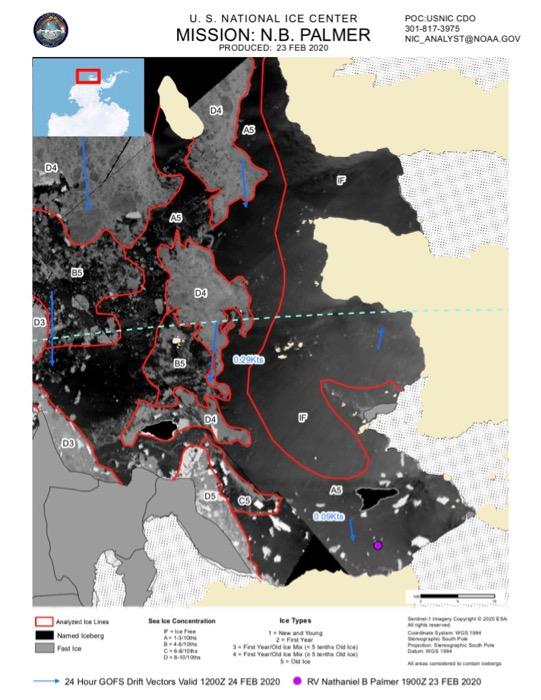
New data about the ice is collected and shared every day. Here on the ship, we receive updated maps that include images from various satellites. The ones I find most interesting are those from the U.S. National Ice Center (NIC) which show outlined regions of different ice coverage. Note to Teachers: these maps provide an excellent opportunity for students to use the NASA Data Literacy Cubes and I can share additional PDFs from a range of days if you want to explore change over time.

While the satellites reveal large scale shifts in the density of ice coverage or the position of big icebergs, we don't often see evidence of a changing planet when we look at the world surrounding the ship. For example, this morning, the view off the starboard side was nothing but white (a white that looks blue in iPhone images, I guess).

A few weeks ago, the Navigational Officer on Watch (the person driving the ship) saw something unusual - land. There's a lot of ice and water here, plus an occasional bird or mammal, but land is a great rarity. A small island had been revealed as the massive chunk of ice perched atop it disappeared at the edges. At first, we thought maybe an iceberg had become lodged on the outcropping years ago and then melted enough to expose the underlying rock, but now we think that the ice on the island was once part of the Pine Island GlacierA mass of ice that persists for many years and notably deforms and flows under the influence of gravity. ice shelf, a massive field of floating ice that entends outward into the ocean from the edge of the glacier. Peter Ness put together a timelapse of the Pine Island GlacierA mass of ice that persists for many years and notably deforms and flows under the influence of gravity. ice sheet retreating and leaving behind a remnant on the island - you can check it out on Twitter.
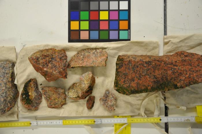
Although it wasn't a great sign for the future health of our planet, the geologists were excited for this unusual opportunity to collect rock samples, something that Antarctica does not often provide. Also neat - because we found the island, we earned the right to name it. I voted for "Pete," since it was our Chief Mate Pete who originally spotted it. (Just to be clear, I didn't think it should be called Pete Island - simply Pete. As in, "Hey, what's that in the water over there?" "Oh, that's just Pete." and "Does anybody know where Pete is?" I was told this could lead to a little too much confusion.) We decided to go with Sif Island, named for the Norse goddess associated with the earth. I guess I can see why that is a better choice.

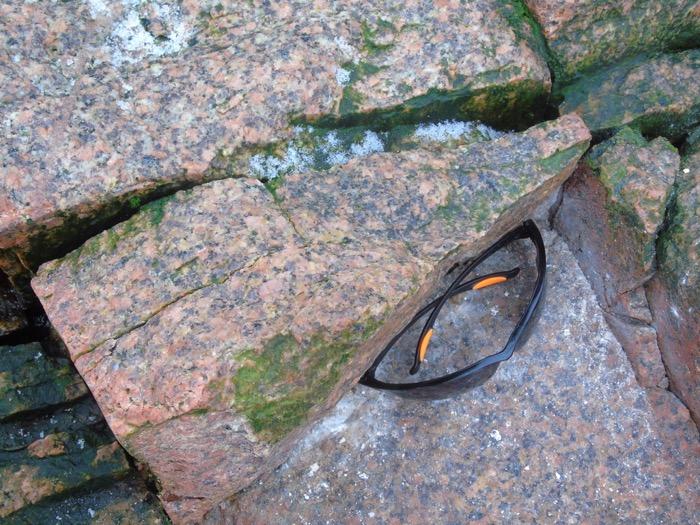
At only about 350 meters long and still mostly covered in ice, Sif Island isn't going to be a tourist destination, but the scientists who first set foot on this land were able to analyze the types of rock present. It is mostly granite, which is an igneous rock, so it was therefore formed by...what? Come on, science students - you should know this! The scientists will estimate the age of the rock and collect samples to bring back for further analysis.


"Antarctica's geology is so ice-covered, we really don't know much about it," said Jim Marschalek, PhD student in Earth Science at Imperial College London. "There aren't any other outcropping rocks for almost 70 km in any direction, so this was a special opportunity."


Comments