What on Earth is a Forefield?
I keep mentioning the term forefield but I have not explicitly defined it. To rectify this I drew you a diagram.
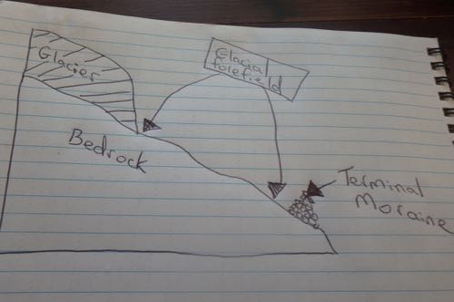
Glaciers are in constant flux and the ice is always flowing down slope under it’s own weight. During colder time periods the glaciers will advance (or “grow) because there is more accumulation in the winter than melting in the summer. During warmer time periods, like today, glaciers will recede because the rate of summer melting is higher than the accumulation in the winter. When the climate switches from a cold to a warm period the glacier will have reached it’s maximum extent and begin to retreat.
Because glaciers act at big bulldozers, they are usually pushing a bunch of rock and debris at the front end or terminus of the glacier. When it begins to retreat it will leave this debris at the point of its maximum growth. Geologists call this pile of rock and debris a terminal moraine.
The terminus, or outer edge/tongue of the glacier is always changing but the area of land between the terminus and the terminal moraine is called the forefield.
At Tsanflueron, most of the area that we had hiked is actually the glacial forefield. It is just that some parts of it have been exposed to the air for a long enough time that soils have developed through weathering and erosion. You could see the progression of the land as we walked closer to the glacier.
Near where we parked the land was covered in grasses and wild flowers indicating that the land had been exposed to the elements for a longer amount of time.
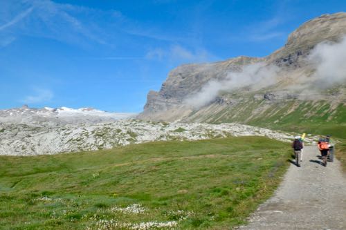
We then walked through a more gravelly area with little to no grasses and some wildflowers. This area is in the mid-stages of soil formation since it had not been exposed to the air for as long.
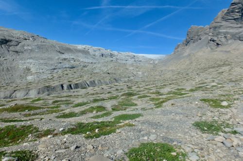
And finally, once we got close enough to the glacier it was all exposed bedrock. In some cracks and crevices you could see an accumulation of debris in the process of turning into soil (this is where the wildflowers like to grow), but most of this area has yet to see any soil formation.
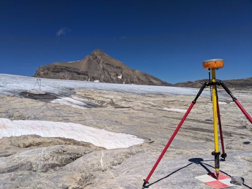
PolarTREC Poppy
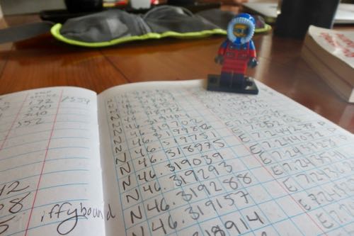
Back at the house we needed to check out how many field measurements were made that day. Poppy was happy to help us out.
Daily Haiku
Once covered with ice
Weathering bring news life
New plants start to root


Comments