Kayaking at Cape Hay, Bylot Island - August 19, 2013
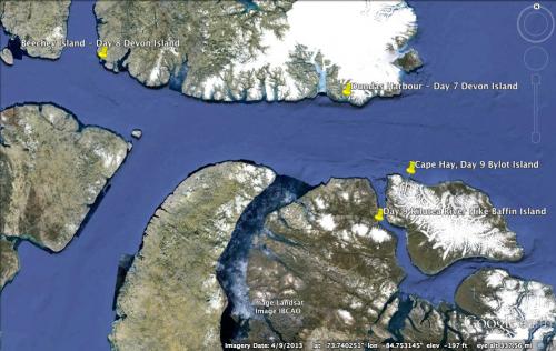
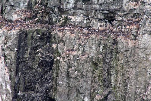
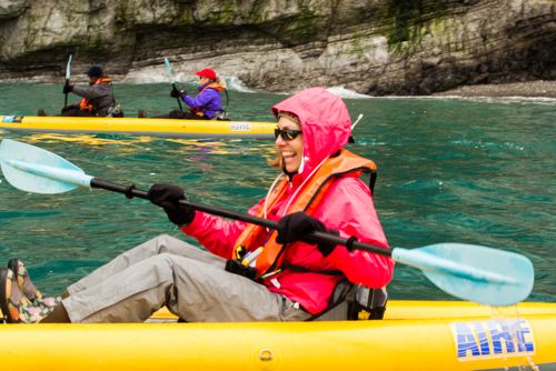
Bylot Island has been a bird sanctuary since 1965 with over 40 species nesting on the island. This morning we arrived at Cape Hay on Bylot Island, amidst towering cliffs covered with birds. Thick-billed murres nested among glaucous gulls, kittiwakes, and fulmars. We ventured out in kayaks to explore the cliffs nearby. The gulls steal murre eggs when the opportunity arises. The female murre lays a single egg on the cliff face, cements it in place with feces and surrounds it with pebbles and debris to keep it from falling. It will incubate in 30-35 days. When the chick is only 3 weeks old, it dives off of the cliff to swim with its dad. The birds will then swim over 450 miles to the wintering grounds off of the coast of Greenland. Murres are much better at swimming than flying. They dive to depths of 100+ meters to catch fish and crustaceans.
Water SamplingSampling refers to the process of selecting units or portions of a larger group that will be studied in order to answer questions about the larger group. The units can be people, water samples, ice cores, or any other appropriate object. Participants will explore the meaning of sampling and how it impacts experimental design and explore factors that define and limit sampling in the variety of projects visited during the expedition. They will consider how results from the chosen samples are used to describe the bigger target of a project's study.
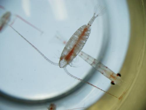
As we wrapped up the kayaking trips of the morning, Crystal Thiele, Christina Riska and I went out on a Zodiac with Dennis Cornejo and Tom Ritchie. We sampled the seawater for various things. We found that the temperature of the water was consistently 2.3 °C (36°F) at 10 m (meter) intervals from the surface to a 100 m depth. The salinity of the water was 31.1 ppt (parts per thousand). We also used a plankton tow to see what microscopic creatures were living in the water. Looking at the sample in the microscope we found copepods, sea butterflies, arrow worms and sea star larvae, which Dennis affectionately referred to as "little sputniks," because of their shape.
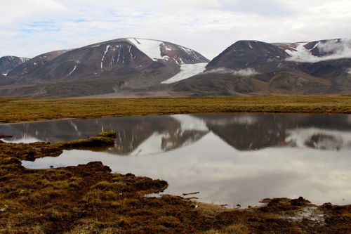
TundraA treeless area between the icecap and the tree line of arctic regions, having a permanently frozen subsoil and supporting low-growing vegetation such as lichens, mosses, and stunted shrubs. Hike at Mouth of Kilutea River, Sirmilik National Park, Baffin Island
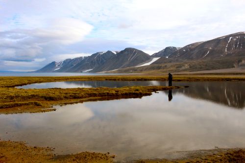
The afternoon brought us through Eclipse Sound to the site of our last tundra hike in Nunavut. It was an amazing afternoon hike. Our guides had never been to this particular area, so we just enjoyed exploring. It is so rare to get the opportunity to hike in an area, that very few people visit, and I relished every moment of the experience.
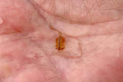
Tadpole Shrimp - Living Fossils
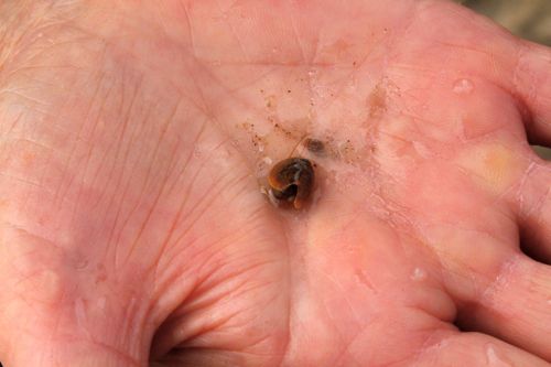
Once we summited a hill we found freshwater ponds that we were able to wade into. I captured some tadpole shrimp with my hands. The tadpole shrimp is called a living fossil because it has not changed in appearance since the Triassic Period 220 million years ago. The tadpole shrimp is a priority species for conservation in the UK.
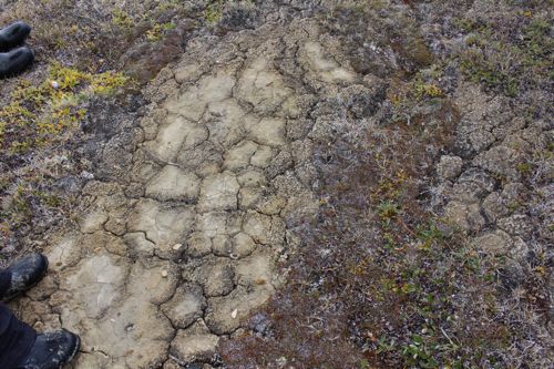
Polygonal Structures in the Ground
Throughout the Arctic there are polygonal structures in the tundra. This is caused by the ground freezing, melting and freezing. When the water in the ground freezes, it cracks the ground. More water seeps in during melt periods and then refreezes. This creates ice wedges in the permafrost (permanently frozen ground) that can be seen under the surface. Check out my permafrost tunnel pics to see a picture of an ice wedge underground. Above ground, this process creates the polygonal structures on the ground. They can cover a much greater area than we see in this picture.
We soon lost track of time as we enjoyed our hike and hastened our way back to the shore. We found Mike Nolan happily waiting to ferry us back by zodiac.


Comments