If I had thought that the field sites we had visited thus far were off the beaten path, I was in for an awakening today. For two days, our team will be dropping in on sites so remote they require a helicopter to access. We have had a history of cloudy days on our expedition thus far, which has inhibited our view or Arctic scenery, but hasn’t interfered with our ability to collect data. When a helicopter is in the picture, a foggy day can change things drastically…
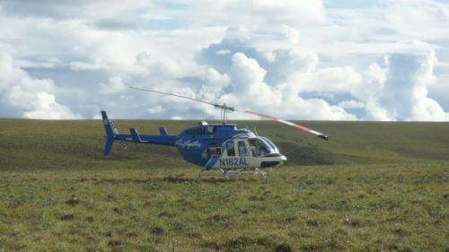
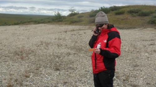
After we received the go-ahead from the helicopter coordinator at Toolik, Cathy, Elliot, Kelsey and I drove up the Dalton to ‘Happy Valley,’ a glorified roadside pullout originally created as a camp for pipeline and highway workers. ‘Happy Valley’ is also the moniker given to the ‘flux’ grid found nearby. The helicopter was supposed to meet us at a designated point around 10:30 am, after dropping off Dima and Anna to begin data collection at nearby sites. At 11:30, we started to wonder where the chopper was. At 12:30, we picked up the satellite phone – our only mode of communication – to call Toolik station. After several attempts, we finally learned why we had been abandoned.
Anna and Dima took off at their scheduled time, but quickly encountered a wall of clouds that the pilot deemed unsafe. They returned to Toolik to wait out the weather. The ‘Happy Valley’ crew was asked to sit tight while the weather cleared, giving us ample time to explore the few hundred yards between our truck and the Dalton Highway. Not long after news of the chopper delay, Kelsey approached me with a discovery she and Cathy had made: a trail of blood led across the gravel beside our truck into the tundra a few yards a way. Naturally curious, the two had followed the trail to find a bloodied arrow amongst the tussocks, and the gutted innards of a caribou a few yards beyond.
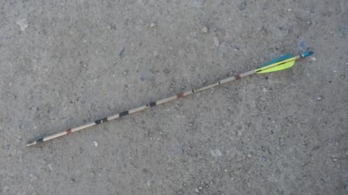
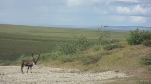
It is caribou season for bow hunters, and predator and prey peppered our landscape. Bull and cow caribou seemed naturally curious of our presence, going so far as to walk toward our truck, stop, and stare. When commotion was made by fast approaching 4x4's, loaded with hunters and looking for targets, the animals would take off into the tussocks. We enjoyed the fleeting moments with the large fauna, but were anxious to get to our sites, farther off the road.
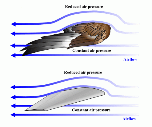
At 3:00 pm, our flight arrived. Jonas, our helicopter pilot for the next two days, briefly reviewed safety precautions for those of us that had not flown in a chopper before. He was also mindful to take down the weights of all passengers, gear, and fuel on board. Helicopters fly according to the same guiding principle which allows airplanes to do so (lift). In fact, helicopter rotor blades are shaped like thin airplane wings. Air travels over and under the rotor blades as the rotor spins, just as air travels over and under an airplane or bird wing as they each take off. A smaller tail rotor helps keep a helicopter in a straight line; were it not for the tail rotor, the body of a helicopter would spin in the same direction as the primary rotor.
Three ‘flux' sights were visited with the help of the helicopter. At each site, soil and air temperatures were uploaded from data loggers, and thaw depth measurements were taken using steel probes. Because of our late start, we decided to work into the evening and finish the three plots we had originally planned to knock out. It stays light until midnight or later, so we were not worried about getting back before dark; however, given the strict ‘duty time’ requirements for helicopter pilots, Jonas could fly no later than 10 pm. To maximize what time we had left, Jonas dropped Anna, Kelsey, Elliot and I at Flux 10: our final and most remote plot of the day. He left to refuel the chopper while we hurried to complete the data collection in record time. Just as we finalized our last thaw depth and temperature measurements, clouds that had been building to the south began to sprinkle…
The rain picked up as we each looked at each other, aware that the helicopter had been grounded under similar conditions this morning. It was after 9 pm, and we were beginning to wonder just what sort of overnight gear could be found in the survival bag we had been left for emergencies. As our thoughts turned to discussion, we heard the reassuring sound of rotor blades beyond the clouds. Soon enough, a helicopter peeked through the rain. We readied ourselves for a “hot load” – done while the aircrafts rotors are still moving – only to see the chopper fly directly above us and continue north. We paused. I recall asking my peers through anxious eyes, ‘Was that not our chopper?’ As each of us looked to answer the others’ ponderings, the chopper turned. After landing, hot-loading, and warming ourselves inside, we had to ask Jonas why he’d pulled such a stunt. It turns out, the wind required him to make a wide turn; we was not (he claims) just watching us squirm.
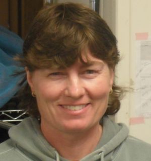
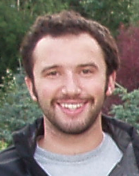
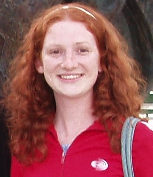
Before I sign off for now, it is high time I formally introduced all remaining members of our research crew. The primary investigators can be seen on the “Meet the Team” section of this expedition’s homepage, but some key players are left out. While Polar Profiles are in the works for all those involved with the project, we can’t let the journey go another day without matching some names to faces. Ladies and gentlemen, the Titans of the TundraA treeless area between the icecap and the tree line of arctic regions, having a permanently frozen subsoil and supporting low-growing vegetation such as lichens, mosses, and stunted shrubs., the Pros of PermafrostPermanently frozen ground., my 2010 PolarTREC team:

More from the air tomorrow,
Josh
Weather for Toolik Field Station
Convert degrees Fahrenheit to degrees Celsius by the following equation: C = (5/9) x (F – 32)
High: 52 degrees F
Low: 40 degrees F
Precipitation: 0.075 cm
Convert centimeters to inches by the following equation: inches = centimeters x 0.3937
Sunrise: 4:40 AM
Sunset: 11:11 PM
% Humidity: Unknown


Comments