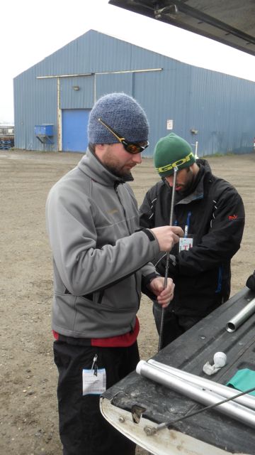
This morning began with a bit of gear retrieval… While many of the sites we will visit have been monitored for 15 years, a relative newcomer to the team’s data collection is the Differential Global Positioning System (DGPS). This equipment will identify the latitude and longitude and the elevation of points measured. It is easy enough to identify where the active layer begins below ground - that impenetrable barrier where permafrost begins; however, the depth of the active layer can’t be accurately determined unless one also knows its top lies. The DGPS will tell us the elevation of ground level, and allow us to determine how ground level changes over time. So far, data has shown that the soil surface above the arctic active layers has gone down over time. This sinking of land is called “subsidence.”
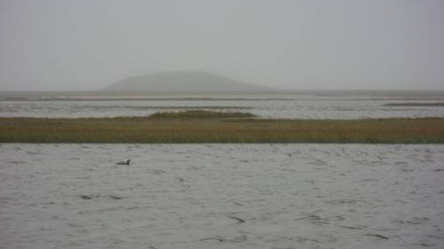
While the DGPS is a cool tool to use, it unfortunately did not arrive with the rest of our gear. Dima and Anna went to the Prudhoe Bay airport to grab the DGPS that arrived on the morning flight. After all gear was finally in tow, we headed over to Betty Pingo, the first of our active layer monitoring sites. A pingo is a geographic feature which only forms in areas underlined by permafrost. Pools of water are prevented from percolating below the frozen soil, and as this water freezes, it forms consolidated ice masses which push up on the earth above. Over time, small hills are formed which can grow up to 70 meters in height. In the permafrost community, pingos are often referred to as “Earth Zits.”

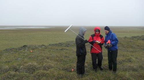
Once we arrived at the site, Dima gave Kelsey and I a crash course in thaw depth measurement. This process simply involves driving a probe (a metal rod marked every centimeter) into the ground until it will not penetrate any farther. The impenetrable area is the permafrost; the area the probe travels through is the active layer.

While the three of us probed, Anna, Cathy, and Elliot gathered data from a smaller “flux” plot. The “flux” plot not only requires thaw depth measurements, but soil temperature measurements as well. These temperatures are taken by data loggers which are left in the field throughout the year. As one might suspect, a year exposed to the elements of arctic tundra is sure to leave a mark... True enough, several of the data loggers left in place last summer were found inoperable, at least two of which due to suspected gnawing by arctic foxes. We caught a glimpse of one of these vandals on the drive back from the site.

We returned to Base Camp (the Caribou Inn) with what data we had, while Anna went to work repairing last year’s data loggers. We’ll put more in place tomorrow as we check thaw depth in our last full day in Prudhoe.
More tomorrow,
Josh


Comments