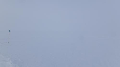
The light comes from everywhere and nowhere. You're not in a cloud, it's more like you're in a space with no borders, but there is an indeterminate depth - dimensionless dimensions. The intersection between sky and snow - a faint changing of color, tracks disappearing, shadows coming and going. It can be disorienting. This is flat white and has always been a challenge to mountaineers and individuals in the polar regions.

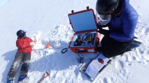
Geophone installation took slightly longer than expected. Not completely unexpected since even the best laid plans can be thwarted by weather and technical issues. We were relegated to the cook tent for the better part of a day due to high winds making visibility difficult, safety questionable, and work nearly impossible. But the biggest hurdle has been technological.

The Geophones use iPhone Touch's (the iPhone without the phone capability - because really what's the point? There isn't a cell service tower for hundreds of miles) for installation procedures. Anytime you try to marry older technology with newer tech there are challenges, and these are compounded by the cold. Batteries lose energy much more rapidly in the cold - halfway through the installation procedure the iTouch would die and we would need to start again. In the end a solution came in the form of hand warmers when Gordon came up with the bright idea to tape them to the back of the iTouch's to keep them warm. I then carried them deep inside all of my layers for extra warmth. In the end it took us three days to get all 12 sites set up - now it's on to the GPSA Global Positioning System (GPS) is a satellite-based navigation system used to track the location or position of objects on the Earth’s surface. sites.
Riding a snowmobile in near flat white is quite possibly the oddest thing. Since there is little to no shadows and the surface of the snow is so smooth, your sense of movement and direction are off. How fast am I going? Need to look at the speedometer ... 30 kph. The wind is blowing due to the movement but there's nothing really to move towards - a faint hint of something in the distance - look back at the GPSA Global Positioning System (GPS) is a satellite-based navigation system used to track the location or position of objects on the Earth’s surface. for the direction. Focus on the snowmobile ahead, check the one behind, moving forward through nothingness to nothingness.

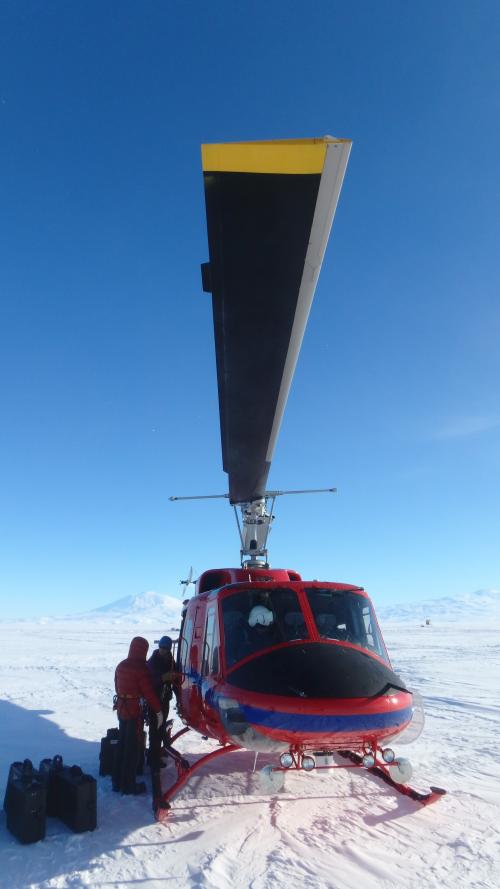
The helicopter was needed to fly out to the deep portions of the Shear Zone to check the GPSA Global Positioning System (GPS) is a satellite-based navigation system used to track the location or position of objects on the Earth’s surface. positions of the different locations. The same locations have been surveyed for the last two years, providing for a continuous data set showing the movement of the Ross Ice Shelf relative to the McMurdo Ice Shelf across the Shear Zone
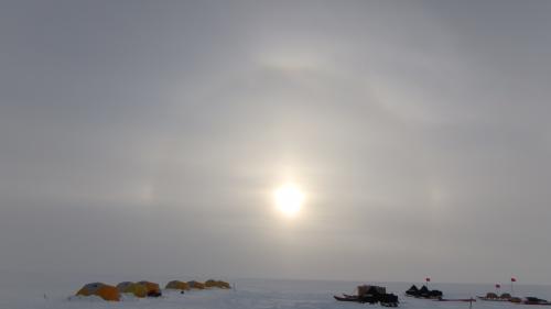
The sun starts to break through the cloud layer, it's lifting and the cliffs of Minna Bluff can be seen in the distance. Dimensionless space becomes dimension-able and time moves forward.


Comments