Doing the "Recon"
Another GeologyThe science that deals with the dynamics and physical history of the earth, the rocks of which it is composed, and the physical, chemical, and biological changes that the earth has undergone or is undergoing. Puzzle at the end of this journal!
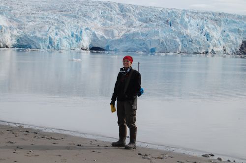
Today was our third day of "Reconnaissance," or getting a sense of what is out there so we can begin doing the research with some purpose. We went back out on the boats, but this time we parked the boats at two different locations where we could see glacial features very close to the tidewater glaciers. You may remember from yesterday's post that glaciers that end in the ocean are called tidewater glaciers.
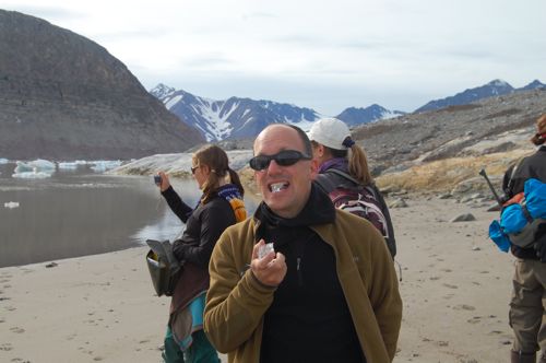
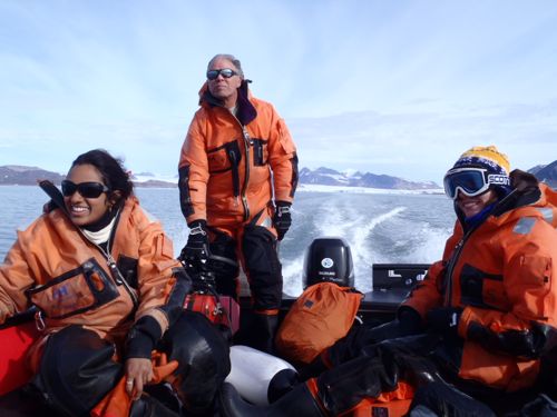
It was good practice to get ourselves in the boats with all our gear and to practice landing and securing the boats at a site where we want to get off. Getting ourselves in and out of the boats at a beach is no problem, but you can't simply leave the boats on the beach. For example, if the tide goes out, then the boat would be stranded on shore (and these boats are way too heavy to drag back down to the water). But equally as challenging is that if you are near the front of a glacier and an iceberg calves off, a huge wave can be created (like a little tsumani!) – if the boat is not offshore then again the boat could be sent onto the beach. Anyway, there's a little trick that we practiced to get ourselves onshore, and to set an anchor several meters away from shore while still tying a line onshore.
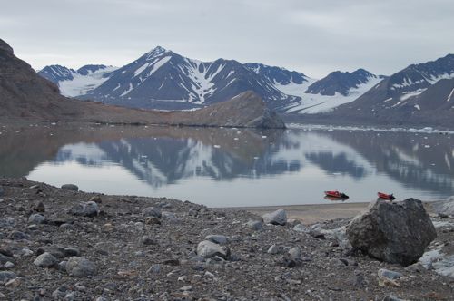
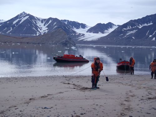
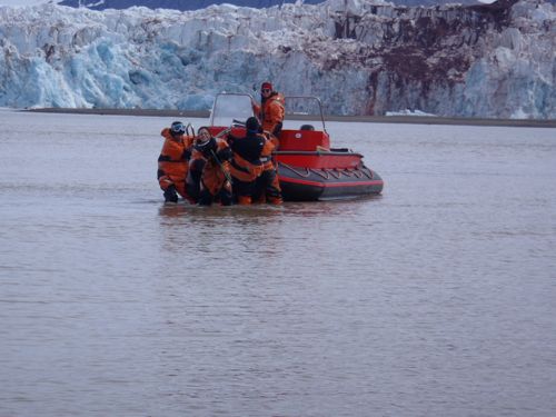
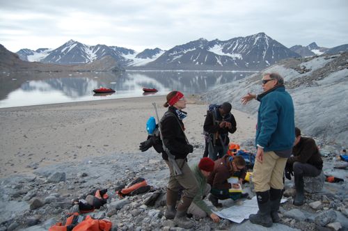
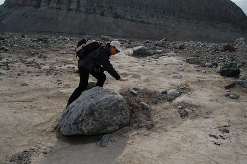
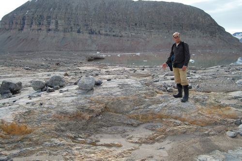
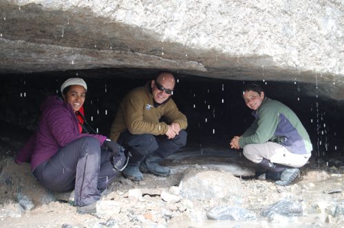
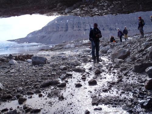
After we tied up we hiked along to explore the region where the glacier meets the ocean and the land. This was particularly interesting because these glaciers have been receding quite quickly. So the features we saw on the ground were very new – only very recently was this covered with ice.

Getting around was sometimes a bit challenging, especially when we had to ford glacial streams!! And in many places the mud was so easy to sink into and it was incredibly sticky, that it was easy to get stuck.
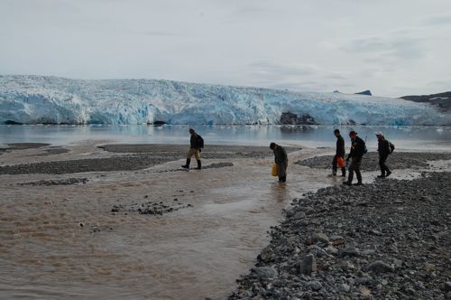
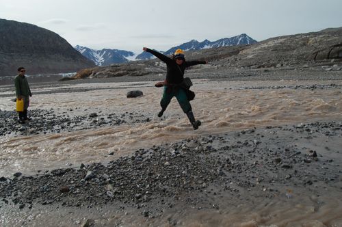
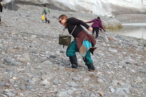

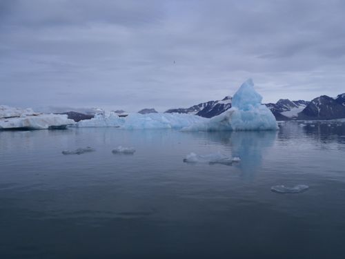
Motoring around today was interesting as well - there was a ton more ice floating around than two days ago!
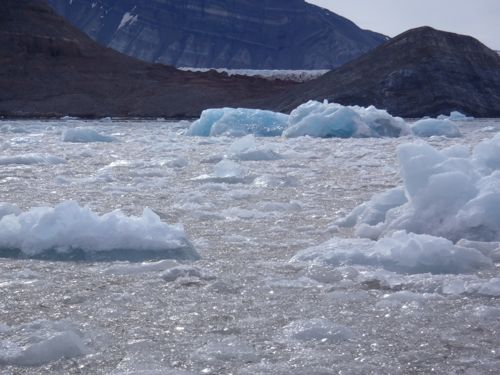
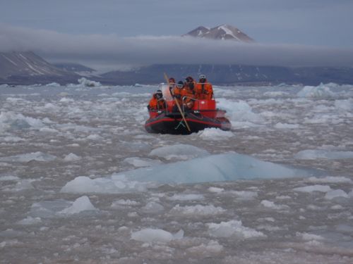
A few things impressed me about today's observations. First, Ross and Julie kept commenting on how much the glaciers we were observing have receded, or moved back, since the last time they were here two years ago. Seeing this made a big impression because we're talking about several hundred meters of movement backward. Where we stood today was under several meters thick of ice only two years ago!
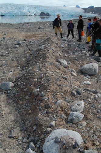
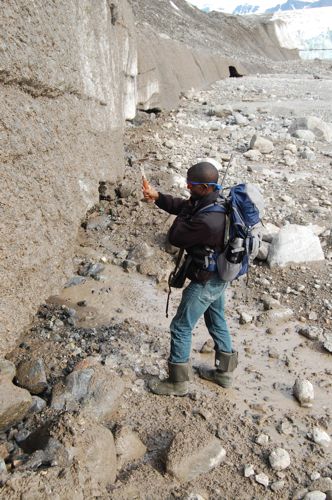
We were able to see several features that glaciers leave behind when they retreat. One of these were squeeze up ridges – these are where piles of debris are left in parallel lines in a direction perpendicular to the direction that the glacier ice flows. These are created by crevasses, or large cracks, on the bottom of the glacier. As the ice moves forward, pressure can form in the cracks which squeezes material up. As the glacier melts, theses piles are left behind.
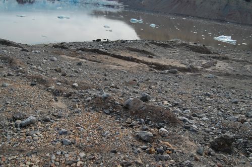
We also saw an area where the bedrock had been scratched by the bottom of the glacier (also called scarring or striations). It's really interesting to see that the scratches are in several different directions, which indicates that the direction the ice was flowing must have changed several times.
Another really interesting thing to see today was at a delta formed by streams coming from under glaciers. A delta is a formation of sediment that grows into the ocean. This particular delta was quite large – at least a kilometer long and a kilometer wide, and Ross estimates that it probably is probably about 80 meters deep with sediment! That's an enormous volume of sediment. And what's really amazing about this is that Ross and Julie say that when they were last in that very spot 6 years ago, the delta didn't exist because it was covered in ice. So just imagine – this huge volume of sediment (rocks, sand, mud) left behind in less than 6 years!!
Today I thought a lot about the connections between the geology we see here in Svalbard and the geology of the Boston area (which I know quite a bit about!). For example, the state rock of Massachusetts is called the "Roxbury Puddingstone", which is a type of conglomerate rock. This type of rock forms by a whole mess of rocks, pebbles, sand and mud solidifying together underwater – over thousands of years this turns into a hard rock. Well, today looking at the rocks in the glacial delta the loose mix of rocks, pebbles, sand and mud looked a lot like the rock I'm familiar with at home – except that it hasn't had the time to solidify into rock! It needs mentioning that the Roxbury Puddingstone formed around 500 million years ago. But, the process that started to created that rock was very likely the same process I observed today!

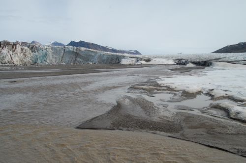
I was also thinking about the fact that New England soil is so rocky – this is because, during the last Ice Age (between about 40,000 years ago and 20,000 years ago) New England was covered in glaciers. These glaciers left behind tons of rock debris – just like I saw today. Of course, in New England we've had about 20,000 years for plants and other organisms to grow and create soil, etc. But go back in time to just after the ice melted from New England and what we see here is very likely what it looked like there. Perhaps I am seeing what my backyard looked like 20,000 years ago. No wonder that New England farmers complain about the number of rocks in our soil!
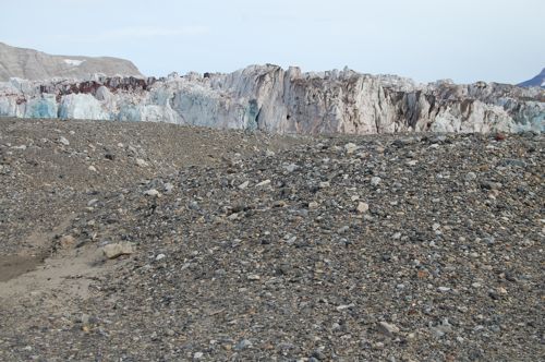
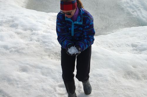
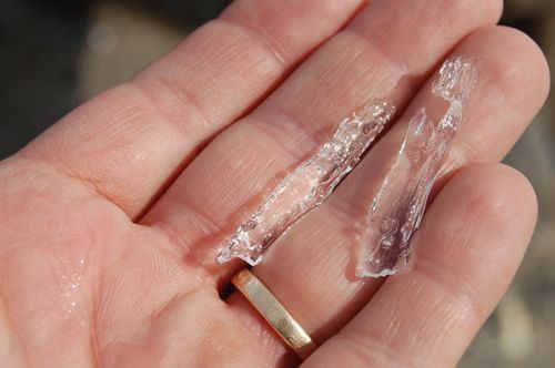
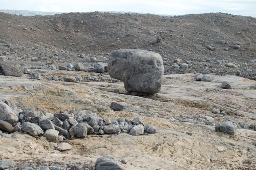
We also got to see several other cool features that I had never heard about. Julie taught us about candle ice and crag and tail features, and Ross taught us about roche mountanees

I'll wait a few days before answering yesterday's puzzlers to give you a chance to answer them. Also, remember to ask us questions about anything related to this experience.
Today's puzzlers:
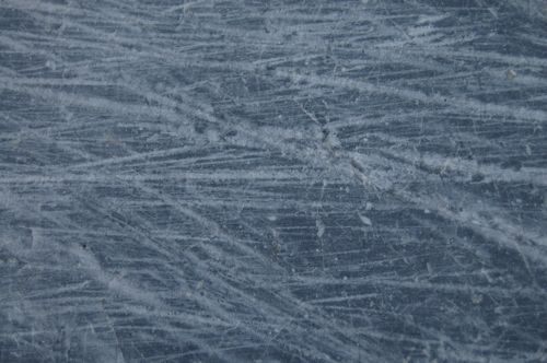
Can you guess what this is a picture of?


Comments