She's from Everett, Washington. She is an Earth Sciences major, with an Environmental Studies minor, at Dartmouth College, in Hanover, New Hampshire.
She will be celebrating her 22nd birthday while she's here in Ny Alesund. Here's the best part about Laura Kehrl . . . she rides back and forth across the fjord with her head in a garbage bag. No, it's not that she's having trouble dealing with the 24/7 sunlight here. It's part of what her project is . . .
. . . "Kongsfjorden floor morphology and its implications for glacier stability"
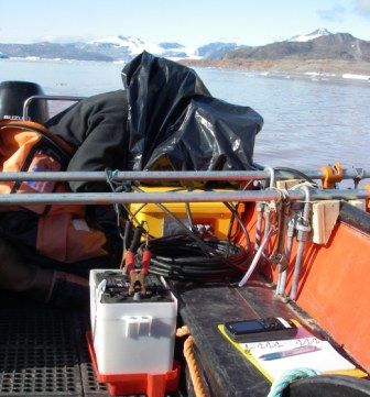
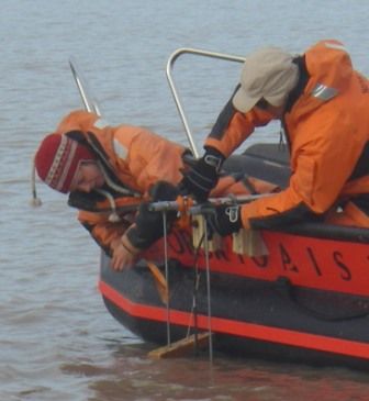
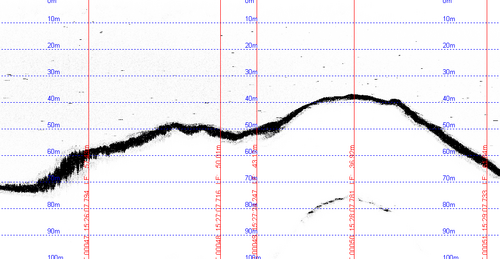
So what exactly is "Laura K" doing in that bag? (We call her "Laura K" because we also have "Laura P" in our little group.) The only reason Laura K has to have her head in a garbage bag is that she is trying to read a laptop computer screen. The bag blocks out the sunlight so that she is able to see the data on the computer. That data is coming from an instrument called an EchoSounder. We have rigged up brackets on the boat that allow the EchoSounder to be lowered down into the water. The EchoSounder bounces sound waves off the fjord floor and detects them coming back up. It is attached, by a wire, to a suitcase-sized yellow box that processes the sound waves into data that is exported to the attached laptop that Laura K is monitoring. This data is converted to show the depth to the fjord floor from the surface. The process involves something that Ross Powell calls, "mowing the lawn". We get the EchoSounder set up in the water and Laura K gets set up on the laptop computer, with her head in the bag. Ross then drives the boat slowly back & forth across the fjord, both parallel to and then perpendicular to the glacier. Kind of like mowing your lawn. At 1 to 2 minute intervals, Laura K calls out a time mark when I take a waypoint on the GPSA Global Positioning System (GPS) is a satellite-based navigation system used to track the location or position of objects on the Earth’s surface. and record it in the notebook. That's it. Except when the fjord is full of icebergs or "brash ice". (Brash ice is like slush or crushed ice in a soft drink from a fast food restaurant. Only much bigger.)Then we need to be careful we don't let an iceberg hit the EchoSounder.
In the lab, Laura K downloads the data to her own computer, plus inputs the GPSA Global Positioning System (GPS) is a satellite-based navigation system used to track the location or position of objects on the Earth’s surface. waypoint data. Ultimately she is hoping to map the bathymetry* of the fjord floor in front of the glacier.
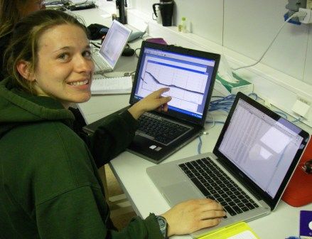
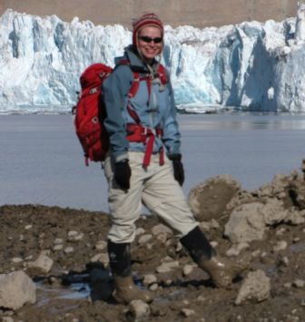
Laura K is all smiles in Svalbard!

- see Project Vocabulary under Overview tab
- < prev
- 17 of 17


Comments