Activities
The students had two main activities with the morning dedicated to learning how to geocache and the afternoon visiting the sled dogs and learning how to edit video.
Geocaching
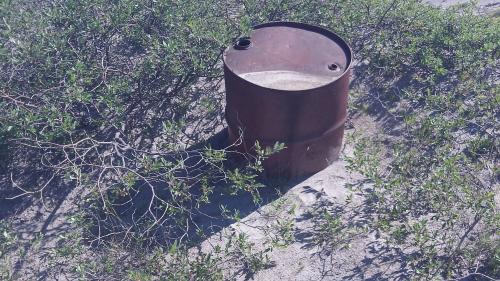
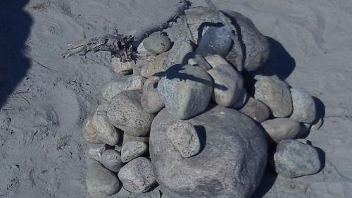
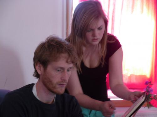
The students spent the first hour this morning learning how to use a GPSA Global Positioning System (GPS) is a satellite-based navigation system used to track the location or position of objects on the Earth’s surface. and to record the GPSA Global Positioning System (GPS) is a satellite-based navigation system used to track the location or position of objects on the Earth’s surface. coordinates for landmarks around Kangerlussuaq. Next students had to find each other's landmarks given the coordinates. Lastly, they were then given actual geocache coordinates located here in Kangerlussuaq and asked to find them. Tomorrow while we head out to Lake Ferguson, students will visit another geocache (hopefully!) and will place their own geocache's which will be listed on http://www.geocaching.com for next year's Field School students to find and maintain.
Sled Dogs
In Greenland many families have working sled dogs for various reasons, hunting and traveling being the main ones. These dogs are not pets, they are working dogs. The dogs are kept in kennels outside of town and today the students visited the dogs to take video and learn how to edit the video. Two of the videos (from Groups 2 and 3) will be posted below. More videos will follow as time and upload bandwidth allow.
http:// Group 3 Video of the Sled Dogs
http:// Group 2 video of the Sled Dogs
Student Biographies
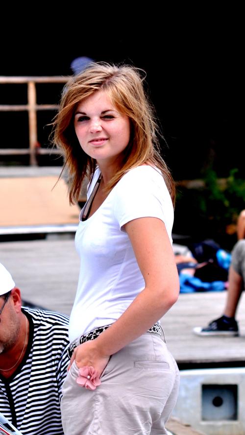
Cecilia Sand Nørholm
Hi! My name is Cecilie Sand Nørholm, and I’m from Herning, Denmark. I’m 17 years old and have just finished second year on a technical high school (HTX). When I get older, I want to be an astronomer/astrophysicist, which also is the reason that I find it very exciting to be on the trip to Greenland! I’ve been to Greenland once before, in 2005, with my dad and my granddad, so I’m happy to be back again, and I’m looking forward to get to learn a lot of new people and new stuff on this trip!
Bonna Berthelsen
My Name is Bonna Berthelsen, I am 23 years old. I’m coming from Maniitsoq, but now I live in Nuuk because of my education. There is no gymnasium in Maniitsoq. My favorite subjects are chemistry, biology, geography, math, and Greenlandic. I am here in Kangerlussuaq Science Field School because I like the nature of Greenland, and I like to meet some other cultures and of course to strength my English language.
Today we started with to learn about GPSA Global Positioning System (GPS) is a satellite-based navigation system used to track the location or position of objects on the Earth’s surface., and we go out with our groups and tested how GPSA Global Positioning System (GPS) is a satellite-based navigation system used to track the location or position of objects on the Earth’s surface. works. Every group found a spot and writes the degrees from GPSA Global Positioning System (GPS) is a satellite-based navigation system used to track the location or position of objects on the Earth’s surface., and thereafter we try to find all of the spots the groups have with using GPSA Global Positioning System (GPS) is a satellite-based navigation system used to track the location or position of objects on the Earth’s surface.. And most of the groups succeeded.
I didn’t know how GPSA Global Positioning System (GPS) is a satellite-based navigation system used to track the location or position of objects on the Earth’s surface. works before, but today I learn it and I’m glad to learn about GPSA Global Positioning System (GPS) is a satellite-based navigation system used to track the location or position of objects on the Earth’s surface.. So I can use it in the future.
Vocabulary
A Greenlandic Palindrome! qaqqaq = Mountain. If you want to make words plural you switch the ending to a -at, so qaqqat = Mountains
Dog = qimmeq so Dogs = qimmet
A video of the language lesson we received tonight will be posted tomorrow.


Comments