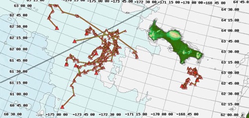
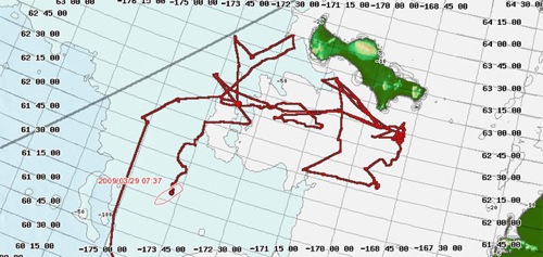
Where are those tagged walruses? With the mapserver we can follow the walruses while on the ship. The map below shows us where the walruses are going. The larger red triangles show the current position of a tagged walrus. Notice that 4 walruses are staying to the SE of St. Lawrence Island. Two male walruses are traveling far, one to the west and the other to the southwest. 3 walruses have crossed over the International Dateline.

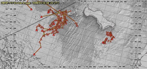
Walrus need the right ice conditions to haul out. If the ice is too thin, they stay in the water. If the ice is too packed, they have trouble finding ways to haul out or breathing holes. The best ice would have leads, which are openings, and would be thick enough to hold them as they haul out to rest. Ice on the Bering Sea changes from day to day. As winds shift, the ice gets blow in different directions. These changes in the ice make predicting where to find walruses a tricky job. Check out the ice conditions below. See if you can predict where the walruses might move. Remember, the darker areas have thinner ice.

Where is the ship? We are beginning to head south to Dutch Harbor.


Comments