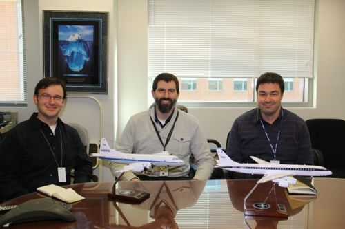
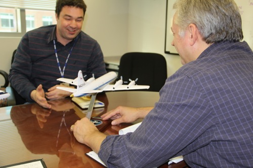
Today I visited NASA’s Goddard Space Flight Center in Greenbelt Maryland and met members of the IceBridge team including lead scientist Michael Studinger, Education and Public Outreach officer George Hale, and Media Specialist Jefferson Beck.

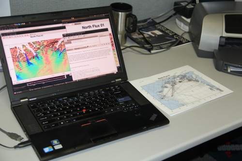
We had a lengthy discussion about the upcoming mission in Greenland. I’ll be flying into Kangerlussuaq somewhere around April 13-14 and will meet up with the team at the Kangerlussuaq International Science Support (KISS) building. Weather permitting, we’ll be flying daily missions up and down the Greenland coast with an array of sophisticated instruments measuring properties of the glacial ice including thickness, topography, and mass.

Throughout the mission we’ll be flying a former US Navy P-3B Orion aircraft. This is a workhorse and I can expect a noisy environment while in the air. Needless to say I’ll be looking for some good music, and noise canceling headphones. Any suggestions? During a typical data collection run we fly just 1500 feet above the surface for a period of seven to eight hours. Because we’re flying at such a low altitude I’m excited about catching some spectacular views of the Greenlandic glaciers from the air. In many cases the valley walls will be above us as we pass low over the glaciers. This particular PolarTREC mission is a little different than most. IceBridge is a mission project rather than a specific research project. The team is collecting large amounts of data (~2Tb per day) that will be processed and made available to the rest of the research community through the National Snow and Ice Data Center. IceBridge is not trying to answer any specific question, but rather provide a data set for other researchers to use in support of their science.
A typical day with the project will start around 5:00 AM with a look online at the current and predicted weather for the day. Then a trip over to the weather office, while the flight crew warms up the aircraft. (Note: In order to warm the aircraft properly, the process needs to begin before a decision to fly has been made.) Based on the weather, a decision to fly or not will be made around 6:45 AM. If it’s a go the instrument team will board at 7:30 AM with take-off around 8:15 AM. Then it’s 8 hours in the air flying back and forth mapping the Greenlandic ice.

In addition to the sophisticated radar, laser topography, and gravimeter instruments, the aircraft flies a Digital Mapping System (DMS) camera that is pointed at the ground and takes a full color image once every second. These images can then be matched up at a later date with the more sophisticated data after processing in the event scientists want to see what the surface looked like where a particular piece of data had been collected. Since the DMS data can be accessed immediately after the flight, I’m going to explore ways I can use the images to better share the PolarTREC experience with the outside world.
Headed to Oil City High School
This is going to be a phenomenal experience and one that I hope to share with the rest of the world. We’ll begin the process with a pre-visit to my school back in Northwestern Pennsylvania … Oil City Area High School. Media specialist Jefferson Beck and I plan to travel to Oil City sometime in March to spend a day with teachers and students. More on this to come!


Comments