AWS Up, up and away.
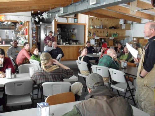
Monday morning at Summit began with Ken giving the 8am briefing. Safety was the main message being conveyed, especially for the Phase 1 Winter crew. They will be training for the next three days before taking their positions on full time.
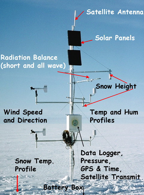
After the meeting our team met to discuss today’s agenda. Today we would work on the Automated Weather Station. There are 18 automatic weather stations (AWS) that are collecting climate information on Greenland's ice sheet.

Each AWS is equipped with a number of instruments to sample the following:
- air temperature, wind speed, wind direction, humidity, pressure
- accumulation rate at high temporal resolution to identify and resolve individual storms
- surface radiation balance in visible and infrared wavelengths
- sensible and latent heat flux fluxes
- snowpack conductive heat fluxes
Hourly average data are transmitted via a satellite link (GOES or ARGOS) throughout the year. In addition, measurements are stored in solid state memory. The system is powered with two 100 Ah batteries, charged by a 10 or 20 W solar panel. The satellite data-link is powered by two separate 100 Ah batteries connected to a 20 W solar panel. This setup guarantees continuous data recordings and storage, even in the case of satellite transmission failure. The expected lifetime of the instrumentation is 5 years.
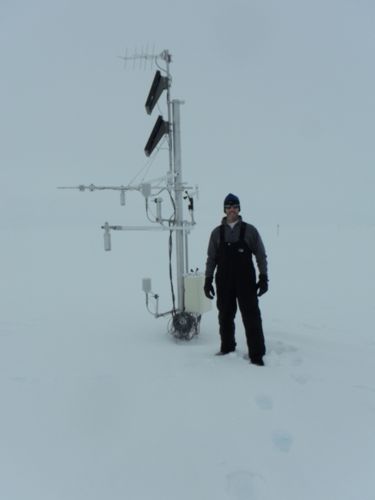
First, Nico and I went to load the sled with the gear and equipment needed to lift the Automated Weather Station (AWS). While loading the sled, I was fortunate enough to see the NOAA science team launch a weather ballon.


Every two or three years the AWS needs to be raised to keep the instrumentation above the annual snowfall (est. 70 cm/year). Our primary job was to insert an extension tube into the base to elevate the station, all with out damaging the sensitive equipment. We began by adding more cable to the power supply, since the current line was not long enough to insert the extension tube. After about an hour, Carl and Nico had the electrical work complete.
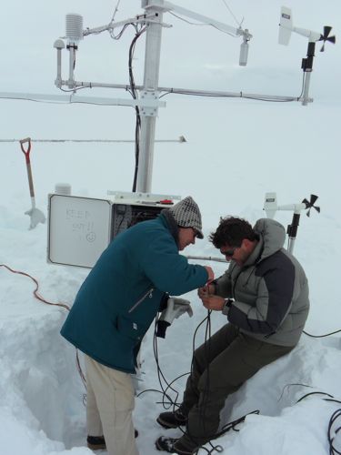
Next, we had to build the tripod that would be used to lift the entire station off of its base.
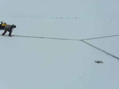
Once the tripod was built, the four of us had to very carefully position the tripod above the station. This was tricky, especially due to the variable snow conditions. Once we centered the tripod, Nico climbed the station and attached the winch hook to the station. Next, we loosened the u-bolts and lifted the station using the winch on one of the tripod legs.
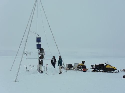
As the station was lifted, we prepared to place the extension into the station tube. Success! The extension tube slid easily into the main tube and we could then lower the station on to its new, higher mount.

A final securing of the u-bolts and we were shoveling the nearby snow back into the hole we dug. We had to do this so the sensors that measured snow accumulation remained accurate. Once everything was secure, we removed the tripod and hoped the station would resume transmitting the weather data to the satellite. Later that evening, Nico verified that the station was working and that we only lost one hour of data. Excellent!
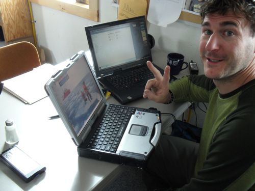
Our final task of the day was to dig a snow pit near the AWS for accurate measurement of snow accumulation. This was needed to verify that the data the AWS was recording over the last year was accurate.
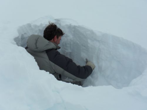
Nico and I dug the pit and he instructed me on the procedures used to analyze the snow layers. First, we needed to have a pit that was 140cm (the last two years of snowfall). Then we marked every 10 cm of snow depth with a wooden marker. Once we established the top, bottom and 10 cm increments, we were ready to begin analyzing the snow.
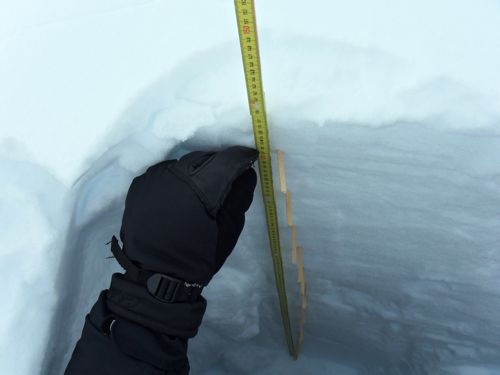
We began by looking for changes in the layering of the snow. The different layers represented seasonal changes and storm events. This was similar to looking at the layers of a cake. One layer would be thicker and less dense and the next layer would be very thin and almost ice like. After identifying, measuring and determining snow crystal size and shape of each layer we then used a snow sample shovel to measure the volume of the snow at various layers. I never realized snow in a pit could be this exciting!
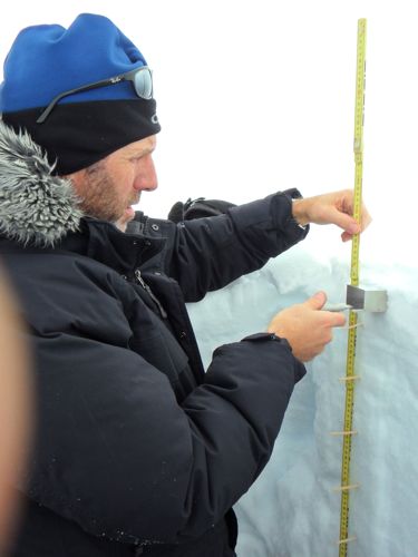
Once we completed our measurements in the snow pit, we filled the pit back up and headed back to Summit Station. That was a very successful day at Summit Station, Greenland.


Comments