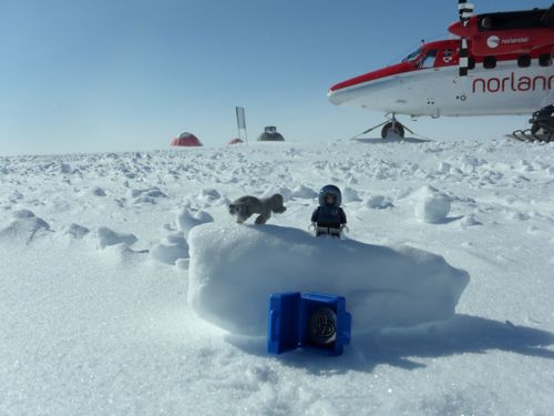
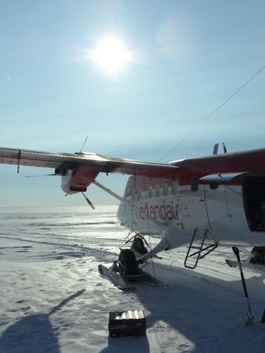
NEEM - 10:15am – Koni enters the tent and says, “The plane is leaving in 45 minutes”. I quickly jump out of bed, get dressed and rush to the main building to inhale my breakfast. Within 30 minutes, I am packed and ready to go. I think the last time I slept in that late was when I was in college! We quickly made our way to the skyway and waited for the pilots to prepare the plane for takeoff. While waiting, I decided it was a good time to take a picture of my families trinkets, since they are traveling across Greenland with me and should be recognized for their worldly travels.
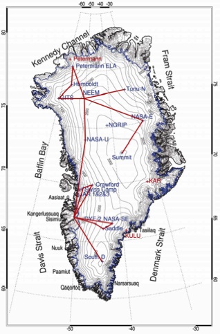
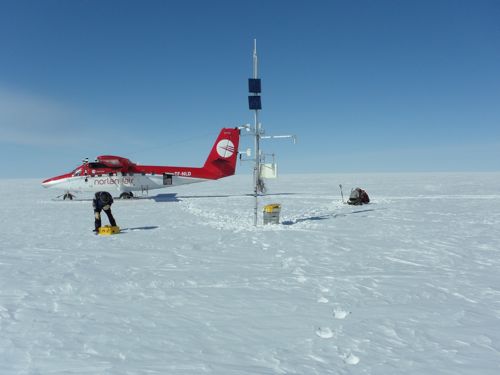
Once we were in the air, I got my computer out and did a little PolarTREC work. The flight lasted a little over an hour. Once we landed, Koni did an assessment of AWS TUNU. He was very pleased with the station as it was working perfectly! He said this station is his most reliable and longest running. He installed this station in 1995 and it is still working with the same instruments and batteries. He said the reason for this is the climate at this location. There is very little snow accumulation and low temperatures. He identified it as a semi-arid dessert, even though we are in the Arctic, due to the low precipitation and humidity of the region.
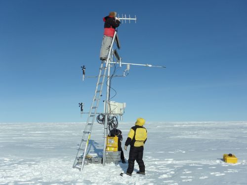
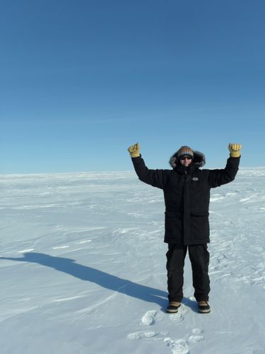
After the relatively quick and comfortable stop at TUNU, we were back in the air heading to NASA-East, the final station of the North Traverse. NASA E needed a complete rewire and installation of a new GOES antenna. Once we landed, we quickly got to work. Nikko and Simon started the snow pit, Koni started to rewire and I built the new GOES antenna.
The flight to Daneborg was another spectacular experience. We flew into the fiords of the east coast of Greenland, as the sun was low on the west horizon, so the mountains, glaciers and valley walls reflected the reddish sun back towards our plane.
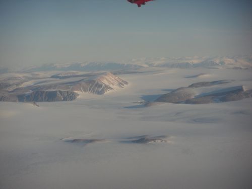
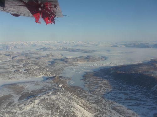
Then the pilot flew us through the fiord to the tiny settlement of Daneborg. Daneborg is the home to the Sirius Sledge Patrol. In the forties, before satellites were used for weather forecasting, East Greenland’s weather stations were important for predicting Atlantic storms. This information became significant to countries involved in WWII. Greenland set up a volunteer force to patrol the entire east coast of Greenland. Their main duty was to watch for enemy incursions. One small mini-war occurred near the Daneborg site where 19 Germans tried to set up their own base and the volunteer force discovered them and as a result the Germans attacked and burned down the weather station at Eskimoness (now Daneborg).
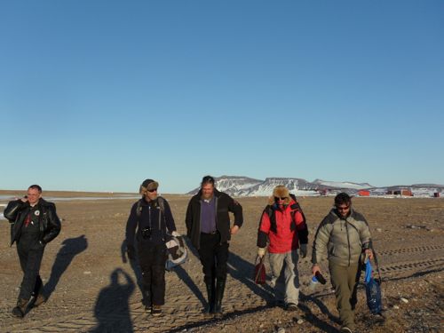
After the war, Denmark established the East Greenland force, which became the Sirius Sledge Patrol. Today, the patrol members still watch the east coast via dogsled in the winter and boat in the summer. The patrol members are selected from the elite members of the Danish Army and Navy and work in pairs on two-year stints traveling in extremely harsh conditions along the entire east coast of Greenland. The strong, young men also double as wardens of the Northeast Greenland National Park.
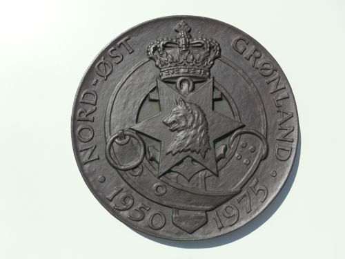
We finally got settled in the guest barrack that also served as the gym for the patrol. It was about 9:30pm for us, but for the patrol, it was 11:30 since they are on Zulu time or GMT. The patrolman that escorted us to our rooms said breakfast would be served at 8:00am sharp tomorrow morning. Oh, and he warned us not to stray too far from the building in case of polar bears! I guess that’s why the levers on the doors only swing up!
Up next, final twin-otter flight to Summit Station. This is Jim Pottinger signing off!


Comments