Today started with good news and bad news. The good news, all of the people that arrived from Summit yesterday, will be going home today, thanks to the Air National Guard applying for a waiver to fly south, with the ash cloud looming very close to Kangerlussuaq. The bad news, Professor Koni Steffen and the rest of the research team are stuck at Swiss Camp for at least one more day. That is very unfortunate because I heard that they had already prepared the camp for leaving, took down the tents, and prepared to load the plane today and return tonight.
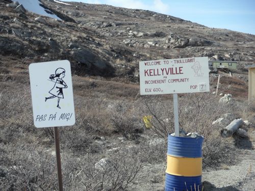
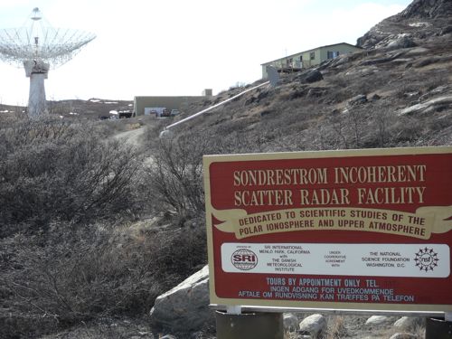
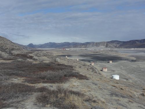
With extra time on my hands, I decided to explore Kangerlussuaq a little more. This time I jumped on a bike and headed east, down the fiord. There is one road going east, mostly to bring tourist and supplies to Kangerlussuaq. The ride was a bit challenging due to the strong head wind. I had to really dig deep to climb the rolling terrain. The wind was gusting and pushing me back. I felt like a reporter in a hurricane; trying to stand erect, only to desperately stand at an angle to resist the strong winds. But, after a long ride down the fiord, I found what I was looking for. The first sign of the port, or harbor as some call it. Instead of going down to the harbor, I made a right turn and went an additional 3 km to Kellyville. Kellyville, population 7, is inland from the harbor and overlooks Lake Helen. It is home to the operations of the Stanford Research Institute. The large dish is used to conduct ionosphere research, with an emphasis on the aurora borealis (Northern Lights). That was certainly the highlight of the ride! Does anyone know what causes the aurora? Hint: google IONOSPHERE
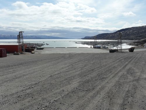
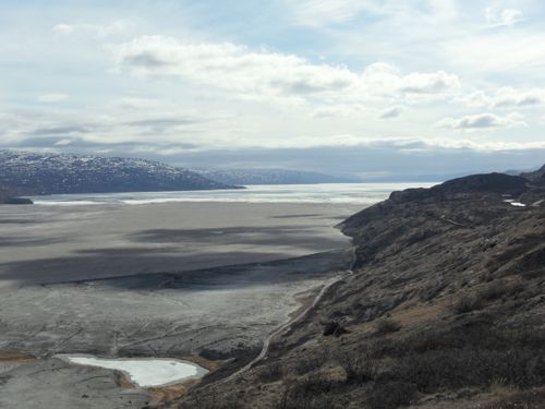
Next, I went down to the deserted harbor. Not one person was to be found. The harbor was shut down until the ice in the fiord melts. A little bit of the ice has melted at the harbor, but in the distance you could see a solid layer of ice blocking the fiord.
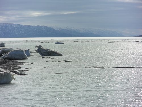
Once I had documented my visit to the harbor, I started my ride back to Kangerlussuaq. With the wind at my back and the thought of a warm shower in the near future, I was off! The ride went very quickly and I even stopped to take a few more pictures along the way. Just imagine, a few thousand years ago, this fiord would have been buried in hundreds of feet of ice, slowly lurching towards Davis Straight and the Labrador Sea. The enormous power of water, ice, rock and gravity all coming together to carve these huge fiords is simply amazing.
Just checked in with KISS station manager, said that Professor Steffen and the team have a good chance of being brought back from Swiss Camp tomorrow afternoon. Keep your fingers crossed!


Comments