Meeting of the brains
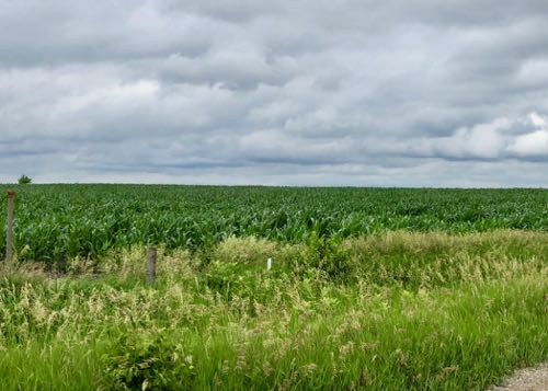
After a rough start with severe weather alerts and several delayed/cancelled flights, I arrived in Des Moines, Iowa on Tuesday to meet with some of the team members that I will be traveling to Switzerland with this August. Like many East Coasters, I had only ever flown over the interior of the continent on my way to the opposite coast. So, this was my first trip to Iowa and I was excited to get to see the rolling cornfields on my car ride between Des Moines and Ames.
After arriving at Iowa State University, five of us sat down to meet for a lengthy logistical meeting. Dr. Neal Iverson; Professor at Iowa State University (ISU), Dr. Lucas Zoet; Professor at University of Wisconsin, Madison (UWM), Anna Thompson; Master’s student at ISU, Jacob Woodard; PhD. Student at UWM, and myself discussed everything from what our primary glacier targets would be, how we would meet up in Switzerland, the state of our lodgings, and what types of groceries we would buy. Needless to say, there was a lot to discuss. Even though it was a deluge of information, I now have a much better idea of the scope of the project and where we will be heading in Switzerland (but more on that later).

We also spent a lot of time talking about the technical aspects of the fieldwork and exactly how we would map the glacial forefields with a drone. This meant that we actually got to test out the equipment to get a feel for how the work would go in the Alps later this summer. Therefore, all five of us headed out to Jennett Heritage Area in Story County Iowa for a test flight of the drone.
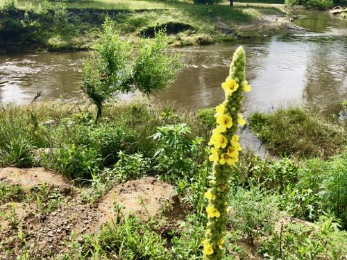
Drone Test
The plan was to map a 30-hectare, or about a 0.3-squared kilometer area, to see about how long each of the batteries would last, as well as go over everyone’s individual field tasks. First up, we had to unpack and hookup all the equipment to make sure that everything powered on and functioned properly.
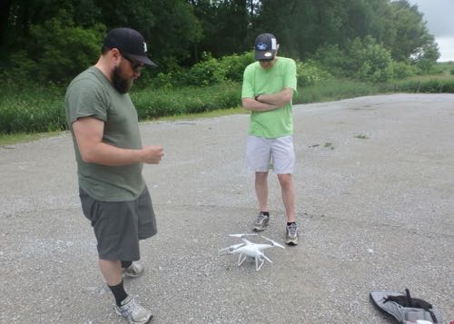
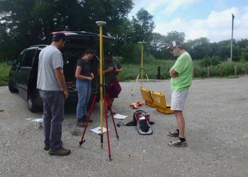
Next, the area grid needed to be programmed into the drone software. Jacob and Dr. Zoet handled this part, as they are our drone experts. The program software automatically calculates this grid based on the size of the area and the desired resolution of the data. Once programed, the drone will use autopilot to fly the pre-programed crisscrossed path within the study site. It will even return on it’s own to the start position when it is recalled or when the battery runs low. Despite it’s relatively small size, we still went through 4 batteries to fully map the test area. Since each battery only lasts for about 30 minutes, we will need to bring up to 18 batteries with us into the field each day to have enough juice to adequatly map some of the larger areas!
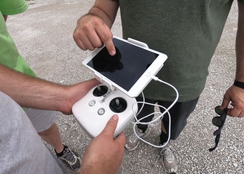
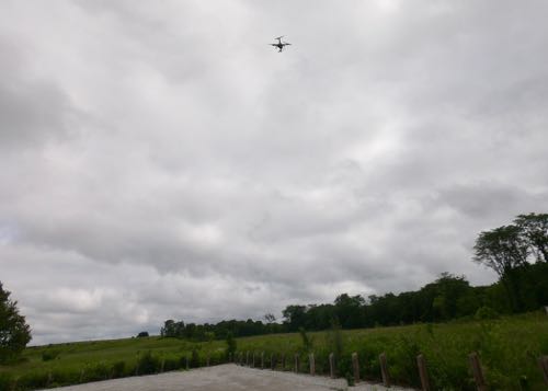
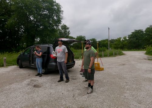
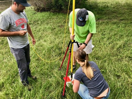
While the drone mapping is going on, it is up to the rest of the team to place markers at various points throughout the field. Even though the data collected by the drone contains geo-information, it is not accurate enough to create the level of detail needed for this study. Several markers, that will be paired with independent GPSA Global Positioning System (GPS) is a satellite-based navigation system used to track the location or position of objects on the Earth’s surface. data, are placed within the gridded study area. As the drone flies over the area, it will capture an image of the location, and the researchers will be able to pair that image with the GPSA Global Positioning System (GPS) is a satellite-based navigation system used to track the location or position of objects on the Earth’s surface. data to increase the accuracy of the forefield surface models.
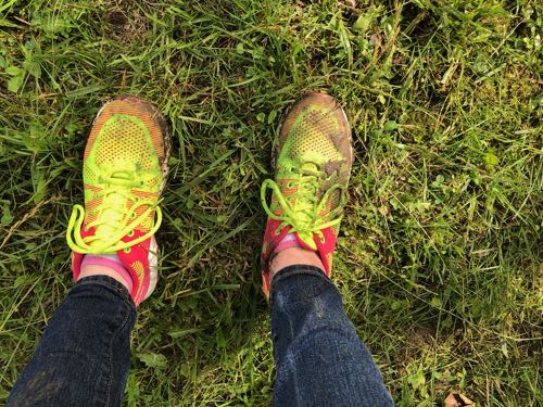
We all headed out to various points within the Jennett Heritage Area to place four markers for this test study. There has been a lot of rain in Iowa lately, and it made traversing the land a little more difficult than usual. We traipsed around grassy fields, slid down muddy banks, and jumped across creeks to find the perfect locations. I fell in the creek and into the mud. Twice. I’m fine, my sneakers not so much though.
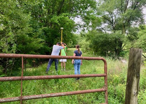
The locations are marked with painted plastic mats, while the GPSA Global Positioning System (GPS) is a satellite-based navigation system used to track the location or position of objects on the Earth’s surface. data is collected with a sensor mounted on a pole and connected to a device that gathers the location data from a satellite.
And that’s it!
Well… sort of.
This process generates a massive amount of data, which will then be offloaded into external storage and later loaded onto a computer. It will take a high-powered computer days to process these files into a 3D surface model. However, this is a topic for much later.
Stay tuned for some footage of our test drone run!
Haiku of the Day
Flying machines map
once iced, now exposed rock fields
Science is awesome


Comments