4.4.07
It takes a large number of people to put scientists into the field. The amount of planning and logistics is immense. Planning to purchase or build equipment, airplane flights and hotels, shipping the equipment. Mani Thomas (from India) and Melanie Engrams provide important support to Cathy Geiger in her work. Analyzing data and supplying different kinds of information products, such as maps and satellite photos.
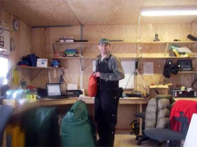
The ice camp is truly an international effort. The scientists work together to accomplish the various tasks. Andrew Roberts, an Australian, has been checking the medical and survival kits in addition to his scientific duties.
*
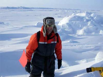
In setting up the transect lines Nick Hughes, a research scientist at The Scottish Association for Marine Science, was a huge help.
** 
Stefan Hendricks and Torge Martin, two German scientists also helped with the transect line.
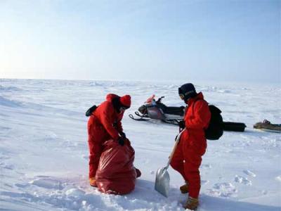
Today Katherine Giles and Adrian Turner two postdoctoral research scientists from England, came out to help Nick and I finish transect line five.
*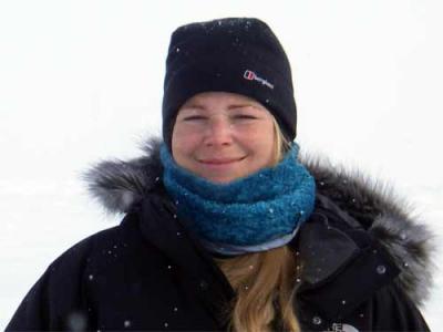
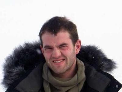
Bill Simpson is a scientist studying ozone and the amount of mercury in snow.
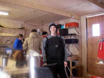
Bruce Elder, arctic hero, is a Cold Regions Research and Engineering Laboratory research scientist is working with Jackie Richter-Menge. They are looking at the pressure and forces (stress) that are acting on the ice; causing pressure ridges and fractures to occur. In order to measure the stress forces, Bruce, along with Tess Mattraw (a Dartmouth student participating in the Women In Science Program) built a number of instruments, in Hanover NH, called stress buoy’s.
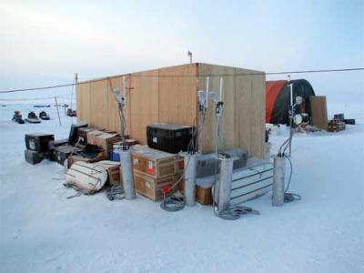
The Stress buoys have sensitive electronics inside them to measure the various forces, and get put in the first year ice.
** 
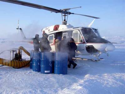
A helicopter is used to take the stress buoys from camp out to their 10 km stations. The three buoys stations formI a large triangle and are located in association with a hexagonal GPSA Global Positioning System (GPS) is a satellite-based navigation system used to track the location or position of objects on the Earth’s surface. buoy array.

Comments