A Very Busy Sunday
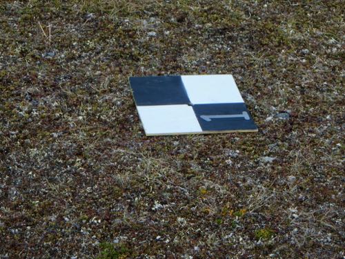
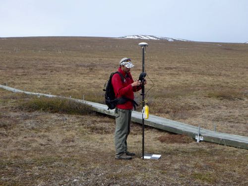
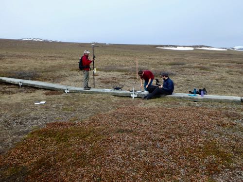
No, the drone invasion is not the plot for the next robot uprising sci-fi thriller, it's just the perfect combination of science and technology. Our day began with a successful full run of the MISP tram (an out and back on the cables). Soon after we finished the tram run, the Toolik GIS (Geographical Information Systems) and RS (remote sensing) team flew a drone over the transect. They collected NDVI images to correlate with the measurements taken by the tram just moments before. The drone has an NDVI camera on board and the MISP carries a GreenSeeker to measure NDVI.
What's NDVI?
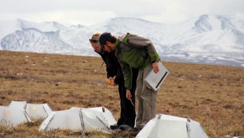
NDVI is Normalized Difference Vegetation Index. It's a measurement of the greenness, or health, of plants. Healthy vegetation reflects back more near infrared (NIR) and green light compared to other wavelengths, but absorbs more blue and red light. This is why healthy plants look green to our eyes. At the ITEX plots, measurements are not only taken from the 50 meter transects that the tram runs, but also smaller garden plots, some with OTCs and some without. The GreenSeekers measure the amount of red and near infrared (NIR) that the plant is absorbing/reflecting by using light emitting LED diodes to generate red and NIR light. This measurement is then recorded and is calculated with the formula:
NDVI=NIR-RED/NIR+RED
You get a value range from -1 to 1. A high NDVI value indicates healthier or denser vegetation. A lower value indicates less healthy or little to no vegetation.
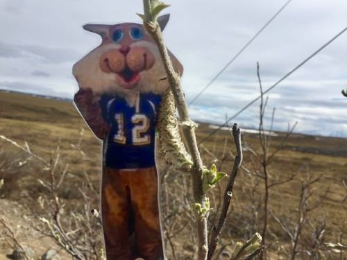
The Adventures Of Flat Cat
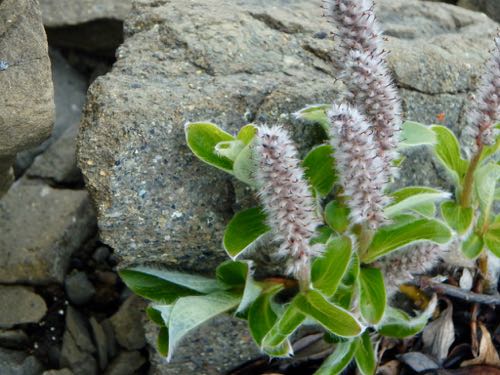
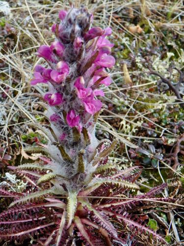
Today Flat Cat enjoyed the sun and warmer temperatures by observing some salix growing around camp. He's noticed that a lot of the plants here have fur too! The plant "fur" helps to keep them warm on colder days, just like fur on a Wildcat.


Comments