Toolik Bound
The Adventures of Flat Cat
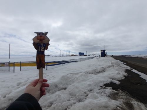
Today, Flat Cat is sharing two pictures. The first one is where he feels most at home. On a football field. This is the Barrow High School football field, home of the Whalers.
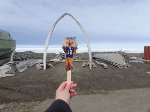
And this is the famous whale bone sculpture in Barrow. Impressive.
Fasten Your Seatbelts...
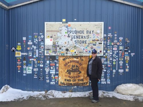
Yesterday I flew to Deadhorse, Alaska to catch the 4:40 Toolik Taxi, and then it was over 200 miles south to Toolik Field Station along the Dalton Highway. I was looking forward to this journey for many reasons. First, the highway itself. I mean, come on, any highway where you are encouraged to bring your own survival gear promises adventure. Built in 1972, the road was a supply road for the Trans-Alaskan Pipeline System. It's named after James Dalton, the engineer who supervised the construction. The total length of the Dalton Highway (also know as the Haul Road) is 414 miles and it is considered one of the most dangerous roads in the world.
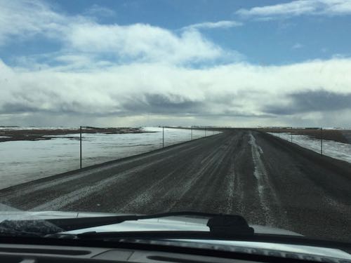
The road is also very isolated. There are only three towns on the route. I started in Deadhorse, which is pretty good sized, but the vast majority of residents are oil field workers and are not permanent residents. Deadhorse is at the end of the highway, at mile 414. The next town is Wiseman at mile 188 and then Coldfoot at mile 175. The Dalton Highway then links up with the Elliot Highway and ultimately, Fairbanks.
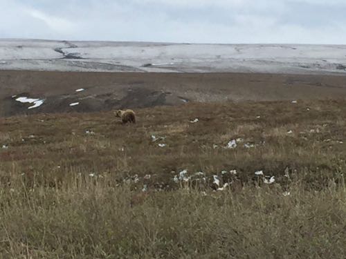
Wildlife was amazing on this journey. We saw six caribou at mile 349, 15 muskox at Ice Cut, a grizzly bear on Oil Spill Hill, three more caribou at the DOT, and a bunch of geese and gulls. I was only able to get pictures of the grizzly bear. The others were too far away to see clearly in a picture.
FYI-Google Street view has coverage of nearly the entire highway. You should check it out on Google Maps.


Comments