Astounding, spectacular, stupendous, sensational, wondrous, amazing, incredible, good...not finding it. There is not a word in the book to describe what today felt like, so I'll invite you to relive it with me right now and maybe you'll feel it too.
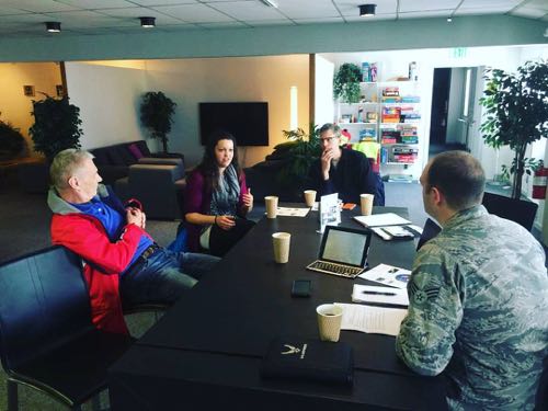
Coffee With an Astronaut
Conversation over coffee with Astronaut and Director of the Earth Science Division at NASA Dr. Piers Sellers, acclaimed journalist and author Jon Gertner, and Operation IceBridge project manager John Woods was just the beginning of a day I will remember the rest of my life. Dr. Sellers is one of the greatest minds of our era, has been on three space shuttle flights, worked in earth sciences for decades running airborne campaigns and launching satellites, yet he has a way of making you feel like what you have to say is important and valued, even when you are asking the most basic questions. I learned so much about everything from climate change studies to the sensation of flying in a shuttle over coffee talk and dinner conversation that I am still absorbing much of it. He is extremely supportive of STEM education and spoke fondly of his own science teachers and their impact on his success.
Jon Gertner has been studying climate change as a writer for years and has an excellent knowledge base about the changing ice sheets in both the Arctic and Antarctica. I am looking forward to picking his brain as the week continues and I appreciate that, like Piers, he is very happy to educate and share his expertise. One of the best parts of these conversations was learning what I still don't know, and on the greater level what some of the major missing pieces of climate change research still are. A few questions to ponder for now:
- Over time what is happening to the bedrock under the ice sheet as ice mass is melting (Think about lifting a heavy weight off of a chair cushion or other squishy surface)?
- What is the impact of warmer saltwater seeping into the bottom of the Antarctic Ice shelves and the simultaneous action of freshwater melting from the top down?
- How are variables like vegetation cover changing over time and how do those variables impact one another in climate change models?
Hike to Dundas Village
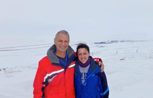
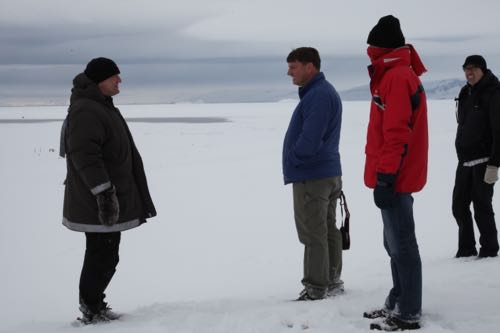
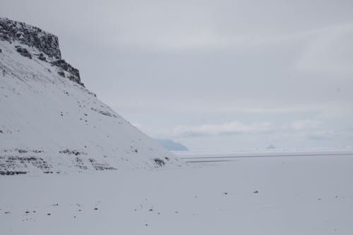
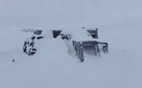
Later in the day we met Rene Hindborg, a Greenland contractor working on base at the community center. After a post-lunch Astronaut Popsicle, I rode along with Rene, Piers, and Jon G to a place called Dundas Village. Rene is a wealth of knowledge about the history of Thule, has an endless supply of adventure stories, loves his family, and drives snowy, mountainous terrain like a true master, so it was not a dull ride by any measure. I felt completely safe as we navigated in our four wheel drive vehicle up Thule's North Mountain toward Dundas Village. Once we were close, we ran out of visible road to drive by truck, so we hiked toward the water. We came to a hut that was made out of peat and wood and many years ago used by Greenlandic hunters, housing about 15 people at a time through harsh Arctic conditions. Let's take a little photo tour to give you some perspective on this part of the adventure.
DogSled Patrol
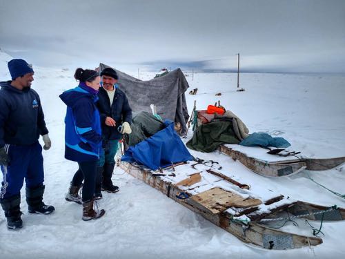
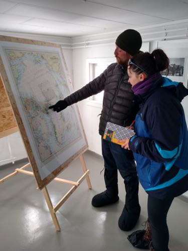
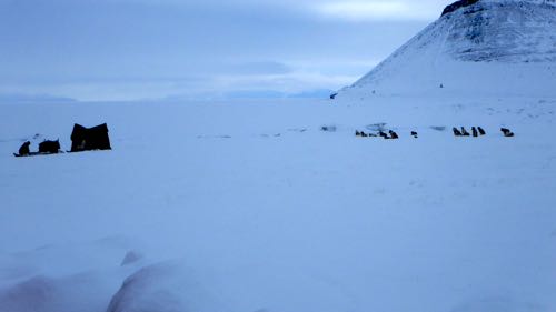
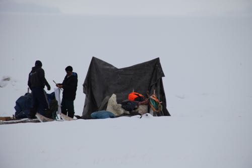
When we reached the top of the mountain we were heading toward some of the hunting houses in the village. The stars aligned and we ran into a pair of Greenlandic hunters setting up camp with their sled dogs sitting in all of their majesty several feet away. They had been on a 3 day trek from their village of Qaanaak where the Danish Dog Sled Patrol met them to be guided to Thule. We'll share an interview from the Dog Sled Patrol after they give a talk tomorrow, but I can tell you they are a tough crew. While the Greenlandic pair had been on a 3 day route, the Dog Sled Patrol was wrapping up a two month journey. Instead of relaxing at camp they immediately went out with cross country skis to hike Mt. Dundas with no rope (normally a rope is attached to the top of the mountain and hikers must use it to climb one at a time until they reach the top)! They've had polar bear scares, use NASA data to learn where they can and cannot travel by sea ice, and are doing very important work to learn about what it's like to traverse the ice by dogsled on the northwestern coast of Greenland. They started their trek out of Station Nord, the second most northern settlement in the world, which we are set to visit tomorrow via C130.
![NASA Astronaut Dr. Piers Sellers with Dog Sled Patrolman Morten [last name to be entered] Astronauts and Dog sled patrol](/files/members/kelly-mccarthy/images/img_20160426_162757239.jpg)
Takeaways
The conversation about climate change research is never-ending. The ice is clearly changing and the people who live and work on it every day know it best. We should listen to their stories. Science and Math education initiatives are vital. The arctic is a dynamic place where the weather can change at any instant and the environment is harsh and rugged, which means you have to be prepared for ANYTHING (much like airborne science). There is so much more to learn, so please keep living it with me.
Question of the Day
One of the satellite instruments that Dr. Sellers worked on years ago and that the dog sled patrol uses to plan their route is called MODIS. What is the purpose of MODIS and what does its acronym stand for?
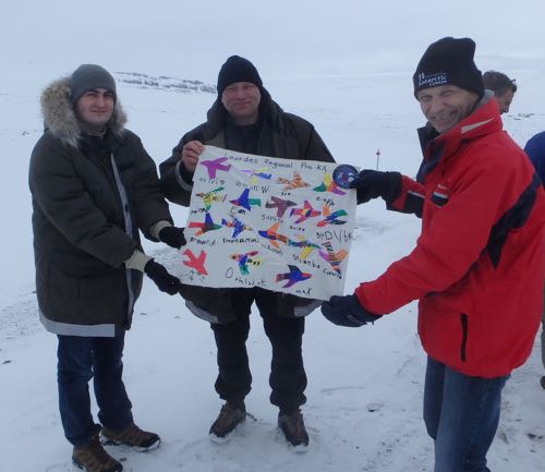
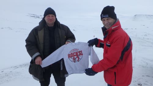
Today's Post Brought to You by Mrs. Sickora's Pre-K class at Our Lady of Lourdes Regional School and by Cetronia Elementary School in Allentown, PA


Comments