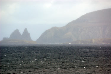
At 10 AM this morning, Captain Adell gathered us on the bridge for a surprise celebration – out the window we could watch as our ship slowly pushed beyond Cape Horn and moved into the waters of Antarctica.
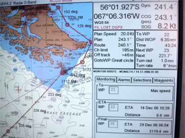
If you take a look at the Captain's GPSA Global Positioning System (GPS) is a satellite-based navigation system used to track the location or position of objects on the Earth’s surface. mapping display – you can see where we currently are positioned and the approximate route that we will now take to reach Antarctica. Apparently we will cut across the sea (the weather has dramatically improved) and intercept the continent approximately halfway down the Antarctic Peninsula. If all goes as planned we'll reach the edge of the icepack on Sunday or Monday.
The ship also has a completely computerized location and weather information center – that we can access here on the ship. Take a look at their dataprintout.
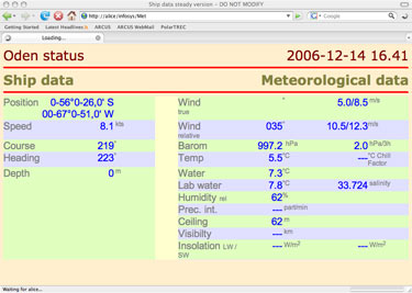
In case it is a little hard to read, I'll continue to provide these basics as well:
Latitude 56 degees 26 minutes southLongitude 67 degrees 51 minutes westTemp 5.5 degrees celciusWind 7 meters per second or 25 kilometers per houurSunrise 3:50 AMSunset 12: 30 AM
There is a lot of great information available on the data picture – heading, water temp, salinity, boat speed and course. Maybe some of you could figure out where we specifically are headed and where we'll meet the continent? I'll include a copy of the latest data readout in these posts from now on.
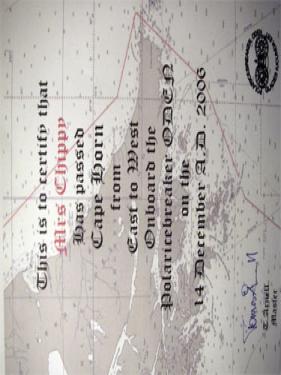
Everyone was given a special certificate in honor of this exciting occasion and the cooks prepared cookies and coffee for everyone to celebrate. I'm thinking I might be the first polar bear ever in these parts so this is going on the wall of my den just as soon as I get home!
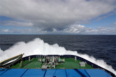
Last night was a little rough in my hammock – we're starting to get into some larger 2-3 meter swells and some small 1-2 foot waves. However since our bow is so flat and the ship has no keel – it is in a constant up / down and side / side heaving with occasional jarring shutters as the bow drops right into an incoming wave. Beautiful to watch the wave break and rise above the bow, but makes for a long night when the boat shaking is bouncing you around the berth.
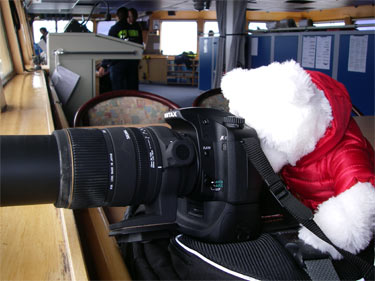
I've spent today learning even more about Allan's new camera and think I've gotten at least a couple animal shots that you'll appreciate.
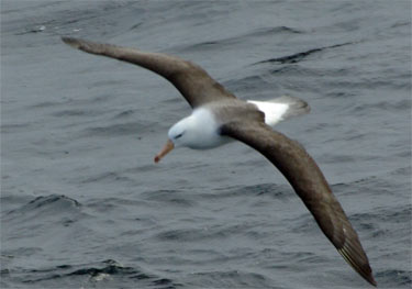
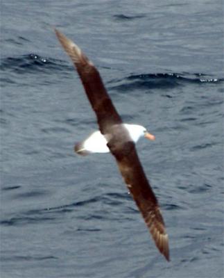
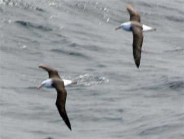
We've had a pretty good sized crowd of black browed albatross traveling with us for about a day. They are a beautiful soaring bird – seeming to just float in the air with their broad wings. Most that we've seen have be smaller, with wing spans of 4-5 feet – but they can be as large as 8 feet from wingtip to wingtip.
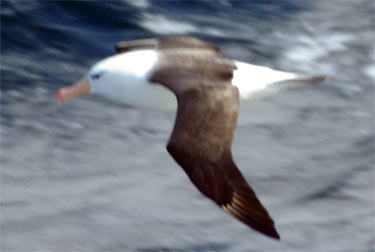
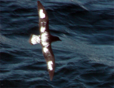
We've continued to see the giant petrels that I put in my last post, and added a new petrel to our list – this is a picture of cape petrel, also often called the painted petrel.
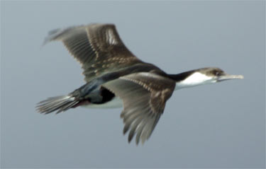
Another new bird showing up in our vicinity is the Antarctic shag, sometimes also known as the blue-eyed shag. In Alaska – this type of bird is known as a cormorant – shag is simply the European variant.
Sitting on the bridge right now as I type – it feels as if the ship is really rocking significantly – my guess watching the horizon rise and fall would be at least 10 degrees to each side. I asked the Captain and he pointed out the anglenometer on the wall for me to check. As you can see – we're barely reaching 3 degrees.
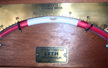
According to the Captain – they did hit some rough weather on their way down through the North Sea, the boat was rocking a full 25 degrees on either side with seas as high as 20 feet – I'm really hoping I get to take him at his word that such rocking, although extremely uncomfortable for the passengers and crew, poses absolutely no danger to the ship. If it gets really rough as it might in the Drake PassageStrait, connecting the Atlantic and Pacific oceans between Tierra del Fuego and the South Shetland Islands. Located about 100 mi (160 km) north of the Antarctic Peninsula, it is 600 mi (1,000 km) wide. – it's possible that we won't be able to keep our antennas in alignment with the satellites long enough to send off or receive much e-mail – but I'll do my best to keep the info coming and I hope you're finding it interesting and feel like you are a part of our adventure. I'm off for lunch and then time to look for whales!
Talk with you soon.


Comments