And, we're back! For teachers, the end of summer meets the beginning of the school year like the start of the 100 meter sprints at the Olympics. Instead of the event lasting 9.58 seconds, however, the school year is a 180+ day ultra-marathon run at that speed. This year, it's even more frenetic.

    Today was the first day back in school with full attendance since March 13, 2020. (Last year, we had about 40% of our students return, and we were on a shortened schedule). It was surreal to see filled hallways and crowded classes - and masks are the "new normal." Students whom I had not seen since their freshman years were now juniors. One student approached me in the hall, and I was shocked at how tall he was, not because he had grown so much over the summer, but because I had never seen him standing up. A girl walked into my class and said, "Hi, Mr. P! So good seeing you." My eyes must have opened very wide in surprise because she then introduced herself. I realized that the reason I did not recognize her was because I had only seen her on camera 1-2 times throughout all of last year. It was only when I saw the Anime sticker on her folder that I remembered whom she was - she had used the same picture as an avatar during our online classes.
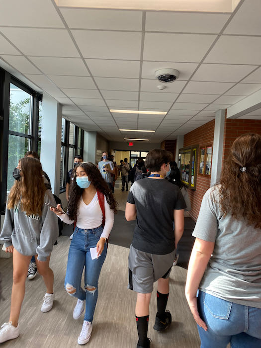
    Students in the Hallway
    West Leyden HS students walking through the hallway on the first day of the 2021-22 school year. Photo credit. J. Pazol

    But, as weird as today felt, in other ways it was normal. I always try to keep my students active and thinking. Instead of listening to classroom rules and procedures, we were back to doing hands-on lab activities. My students performed the "Mystery Tablet" lab, in which they drop an Alka Seltzer into a 1/2 filled film canister (I don't refer to it as a "film" canister because none of them have ever seen one before) and then watch the reaction. There were shrieks of delight as the lids shot off, hitting the ceiling and spraying the desks. Tomorrow, they will design an experiment with the goal to get the lid to hit the ceiling as many times as possible. It promises to be educational, messy, and fun. I also introduced the students to my PolarTREC expedition. When they walked into the class, I posted the picture below on the screen, and asked them to explain what they thought this was a picture of and what evidence they had.
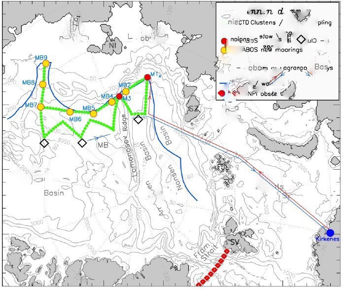
    NABOS Plan
    The blurred map of the NABOS expedition shown to my students on Day 1 to introduce them to PolarTREC
    I had taken the NABOS cruise plan diagram and blurred out most of the references to specific locations and objects. The students came up with some amazing, "off track" ideas like oil pipelines, a drawing of skin tissue under a microscope, and the migration pattern of Canada geese. Many of them concluded that this was a map, but most mixed up the land (grey) and the water (white), and almost none of them identified the correct part of the world. As we continued our discussion, we identified Canada and Siberia. We then talked about which direction each of them was on the map. The students were initially confused that from the center of the map, all directions were south. Then, a few in each class realized that we must be looking at the world from "the top." At this point, several of them checked their schedules to see if they had walked into a geography class by mistake. Once I explained that this was a map of where I would be going and what I would be doing in a few short weeks, they realized the connection. My students' reactions varied. My senior advisory wanted to know if they could skip school and come with me. Many of them had questions about logistics and if my wife was going along - she is not (her idea of a cruise is in Hawaii). And at the end of the day, I overheard one student say to his lab partner, "I heard this guy was a science nut, but I never believed he was this crazy." Yes, we are back!

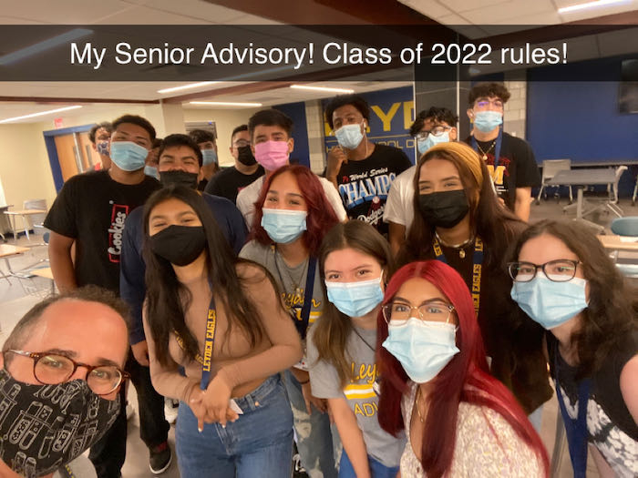
    Senior Advisory
    My Senior Advisory on our last first-day of school.

    Comments

    marice gravenhorst

    Have another wonderful amazing trip. I look forward to following along. You are one of the things I miss about Leyden although retirement rocks. I'm with your wife....I would prefer a Hawaiian cruise, but my husband would love to do what you are doing. Science Geeks, I love it!

    Kathy Ho

    I'm loving the map exercise you did with your class - esp. hearing all the theories your kids came up with on what they were looking at!!! Have an amazing expedition - looking forward to following along!

    Jonathan Pazol

    Thanks. When I gave my NABOS presentation, a few of the students remembered the map and were able to explain it. What really blew them away was the IBCAO (International Bathymetric Chart of the Arctic Ocean), showing the entire Arctic viewed from the North. Most of them were unaware of how "biased" our maps tend to be. I'll have to include more geography when I return.