The ENDURANCE team started their day with morning meeting. The big topic of discussion this morning was how best to overlay the grid coordinates between the existing topographic map (which is basically a rough estimate), the hand-held GPSA Global Positioning System (GPS) is a satellite-based navigation system used to track the location or position of objects on the Earth’s surface. markings from driving around the perimeter of the lake, and the most recent satellite imagery. There were slight discrepancies between each data set, and the team needed to figure out how best to handle that; no one wants to crash the robot into the face of the Taylor GlacierA mass of ice that persists for many years and notably deforms and flows under the influence of gravity. because of an error in topo calculations!
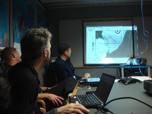
Peter and the team discuss the variations in coordinates.
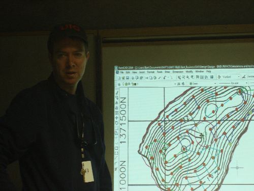
Peter leads a discussion on complications that may be faced in the sampling sites near the shore line. The lake has never been accurately mapped, so anticipated depths are uncertain. They are charting new ground!
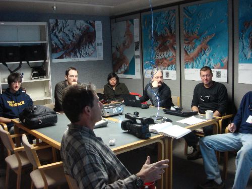
The group at morning meeting.
During the morning meeting, it was decided to have the robot drive with the sonde package in the front of the robot instead of in its current rear position. The team had to decide whether it made more sense to "simply" program the robot to move backwards, or to build another frame for the sonde to go on the front. Bill spent some time building a new frame. The team wants the sonde to be in the front so that it gets data from undisturbed water initially!
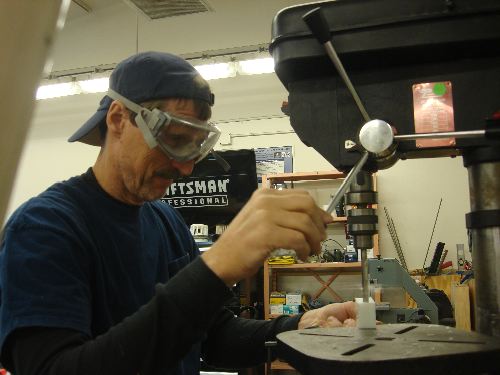
Bill works on tooling an alternative frame for the ENDURANCE sonde package.
Bill, Vicky, and I then went to the food room to conduct a food pull for the team that will be heading to the field. Pulling food for 8 people for 30+ days is a bit of a challenge! But we all got through it!
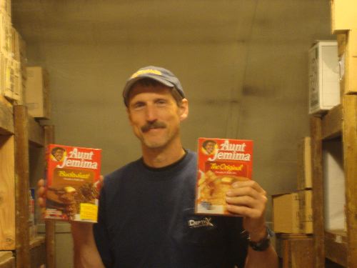
Bill is excited about having some pancakes!
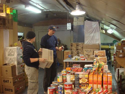
Bill and Vicky start sorting their pile.
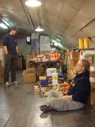
Are we finished yet?
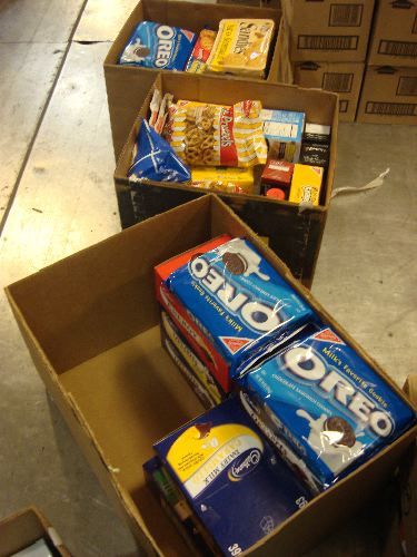
Everyone's favorite boxes... the snack boxes!
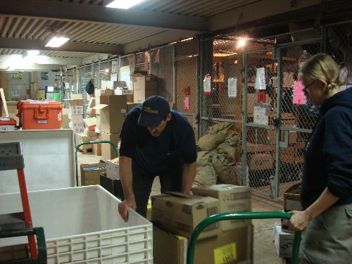
Once the food was pulled, then it had to be packed in the big white box to be flown to Lake Bonney in a sling load.
In the meantime... programming work on ENDURANCE continued!
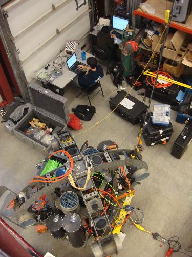
Looking down on ENDURANCE from above. Chris and Shilpa work on programming codes.
Around town, one sees things that are a constant reminder of the environment we are in. Today was a glorious day - very warm! I even moved around town doing various errands without a coat today! Then you see things like this bulldozer. It doesn't look too odd, but do you notice the red square on its side? That's a survival bag! If the driver ever gets caught in a storm, he or she will have enough gear to survive. These survival bags are just that - survival... there's no comfort going on!
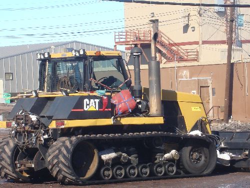
Bull dozer complete with survival bag!
You can also check out my journals and pictures from previous seasons at: http://www.ryejrhigh.org/ellwood


Comments