Speed 10.4 knots (kts) Course 184.5° Location 71.03° N, 140.34° W Depth 2111 meters
SPECIAL FEATURE DISCUSSION:
(see previous journal for the questions.)
Polar bears spend a significant amount of time on ice in the Arctic Ocean, and their primary prey items are marine mammals like seals and whales.
TODAY'S JOURNAL:
We have a team doing water sampling on this cruise, focusing particularly on Arctic Ocean acidification. Basically, the issue is carbon dioxide dissolving in the water, forming carbonic acid. As global CO2 levels rise more of the gas dissolves in the world's ocean and causes the pH to lower (remember, pH less than 7 is acidic, pH 7 is neutral, and pH greater than 7 is basic.) This has alarming implications for things like phytoplankton (tiny drifting ocean organisms that photosynthesize) and zooplankton (tiny drifting ocean animals) that are at the base of most ocean food chains. Many types of plankton may reproduce and grow more slowly or even die off altogether as pH falls.
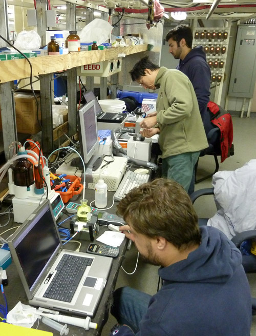
Anyway, our team of Chris, Sherwood, and Mark have been sampling surface water every 2 hours since the cruise began. The ship has a flow-through system where water is continuously taken in near the bow and run through sensors. So in typical cruise mode the ocean acidification team has a reliable supply of seawater to test. But the team is also interested in measuring water conditions far below the ship. Enter the CTDA research tool that is submerged in the water to measure conductivity (salinity), temperature, and depth., which stands for Conductivity, Temperature, and Depth. This device is lowered nearly to the bottom, and it records those values along with dissolved oxygen and a fluorescence value that indicates chlorophyll (the green pigment used by producers in photosynthesis.) The conductivity of water is used to indicate salinity, or the amount of salts dissolved in the water. These data are sent back to the ship by a cable and recorded on a data logging computer. We did our first CTDA research tool that is submerged in the water to measure conductivity (salinity), temperature, and depth. cast yesterday, sending the rig down in nearly 3000 meters of water.
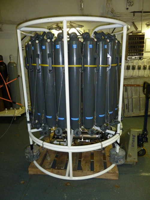
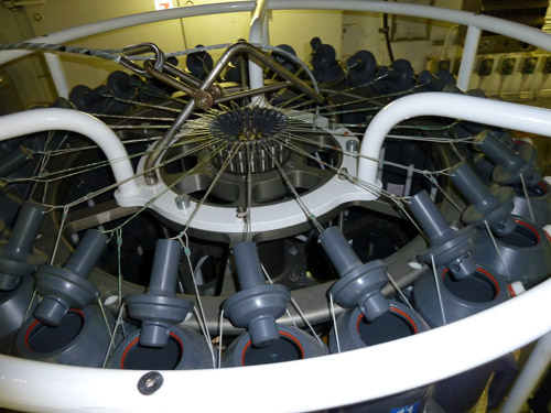
The CTDA research tool that is submerged in the water to measure conductivity (salinity), temperature, and depth. also has a circular array (called a rosette) of water sampling bottles (called Niskin bottles) that can be closed at whatever level the operator chooses. The CTDA research tool that is submerged in the water to measure conductivity (salinity), temperature, and depth. we used has 24 Niskin bottles on board. The bottles have open tops and bottoms so seawater will flow through as the device moves up or down through the water column. When the desired depth is reached a bottle can be tripped closed, with the top and bottom lids snapping shut to capture water at that level. Once back aboard, the team can collect and study water from up to 24 different depths. Our team does some of the analysis here on board but also seals water into glass sample bottles to ship back to their home lab in St. Petersburg, Florida for more detailed later analysis.
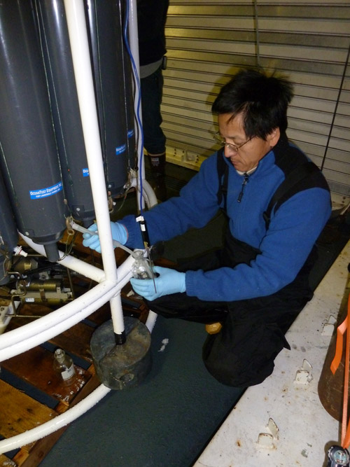
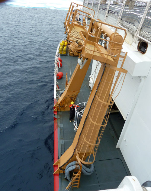
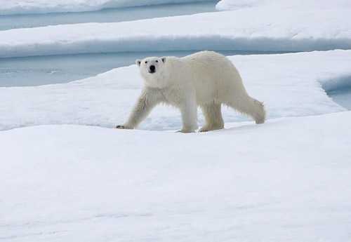
Th process takes a while as around 2 miles of cable is reeled out and then reeled back in. We stopped for about 3 hours to do the sampling, with Coast Guard marine science technicians (MSTs) operating the starboard a-frame (a crane that lifts the CTDA research tool that is submerged in the water to measure conductivity (salinity), temperature, and depth. overboard and then lowers the device.) The MSTs also operated the winch to reel the cable in and out and coordinated with the bridge to keep the boat positioned in the open water lead chosen for the sampling. While we were stopped a curious polar bear zig-zagged its way towards the boat, sniffing the air as it came. When it got around 100 meters away it turned to go alongside us for a while before it swam across another open lead and proceeded into the distance off the starboard stern side of the boat.
SPECIAL FEATURE:
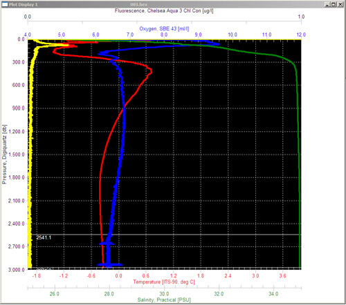
Examine the graph below showing data from the CTDA research tool that is submerged in the water to measure conductivity (salinity), temperature, and depth. cast. The yellow line is a fluorescence value that indicates chlorophyll (the green pigment used in photosynthesis.) Why would that value be highest near the surface and drop to near zero for most of the water column?
The green line is salinity, measured by the electrical conductivity of water. Why is salinity relatively low near the surface (about 27 parts per thousand), increasing as water deepens to about 200 meters deep before steadying out at about 35 parts per thousand?
That's all for now! Best- Bill


Comments