NOAA messin’ around in Alaska
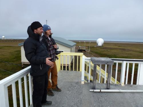
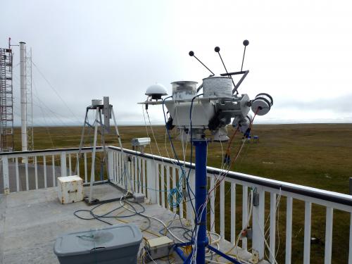
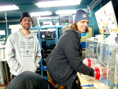
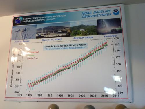
The fact that NOAA (National Oceanic and Atmospheric Administration) has facilities in Barrow can only be described by the word AWESOME. We were able to tour the facilities with Matt, the engineer that runs and maintains the station. Of the many things going on here, I’ll explain just a few of the more interesting pieces of equipment:

Some rich history in the North Slope
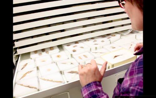
After our NOAA tour, we spent some time with Anne Jensen, a local archaeologist. She and her husband, Glenn, have done some excellent work for many years in Barrow. You know the utilidor that I discussed in an earlier journal? Whilst digging into the layers of loose gravel to build the utilidor back in 1983, many artifacts and ancient human remains were found. Many more have since been found and it’s very likely that many more are still out there… or right here underneath me... somewhere.
The coast in Barrow is quickly eroding and has been for many years. This is not shocking news and it was happening long before global climate change – but has been sped up due to warmer temperatures. This year’s sea-ice went out at the earliest date that any local can remember. The absence of ice near the shore means more open water and more open space for waves to propagate. The ice formed late last Fall and broke up early this Spring, equating to more days that those waves pound against the coast, stripping away rock and sand. It is a major threat. Both to the homes and electricity of Barrow, as well as the ancient remains that Anne and Glenn are interested in collecting ☺ Present day Barrow is actually several miles south of the ancient homes that were once in NuvukThe Iñupiaq name for Point Barrow and the people who lived there. – the old town. The homes back then were very mobile, built into the ground, and since the Thule (Pre-Inupiat) depended so much upon the water, they would pick up and move back as the water got too close. That worked well for them – but this method is kinda impossible now with the permanent setup in Barrow with grounded homes, buildings, and the utilidor. This is just one of the major risks we are trying to understand in Barrow.
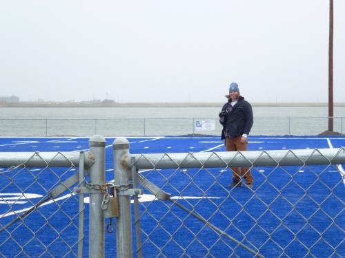
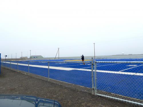
Football in the Arctic!
Yes, I know I'm here for research -- but what football-loving man can pass up a visit to the northernmost football field in the world?


Comments