So what's the plan, man?
This is a collaborative effort to plan, develop, and implement a historical ecology model of the North Slope. Applied Research In Environmental Sciences Nonprofit (ARIES), the Barrow Arctic Consortium (BASC), and the North Slope Borough of Risk Management are heading this project and hope to equip communities along the arctic coast with the skills and knowledge necessary to respond to potential disasters. There will be eventual training for students called Teen CERT (Community Emergency Response Team) -- this is a national Homeland Security initiative to help prepare communities for disasters.
TeenCERT training originated in Los Angeles in 1985, and now serves more than 1100 communities. Click the link below to see a short video about Teen CERT.
www.fema.gov/medialibrary/media_records/7686
With climate change being magnified in the polar regions, it's important to get training to arctic communities. That's where this project comes in.
If the project name Historical Ecology for Risk Management is confusing to you, then don’t worry, I didn’t know exactly what it was referring to until I began this project ☺ I’ll save you the time and effort and summarize the concept using discussions I’ve had with the head researcher, Anne, and my own hours of research.
Ecology is the study of organisms and their environment, and the historical aspect would suggest that the research is concerned with how this has changed over time. So, this project is concerned with how the coast of the North Slope has changed over time and the impact it has had on local people. The difficult task of this research is seeing and understanding the past. It has been home to the Inupiat Eskimos for nearly 15,000 years and a stable population has lived in Barrow for more than 1,500 years. So, with no written record from the native Inupiats, how is it possible to determine the ecological changes that have taken place over time in Barrow? How would you determine human adaptations to this change over time?
These are real questions I’m asking you -- do you have any ideas?
Here are a few of the methods we plan to use:
- One of the most accepted methods for gathering historical information is called Local and Traditional Knowledge (LTK). LTK examines stories and history that has been passed down through several generations by word of mouth. This oral history has served as the best form of preserving history in cultures that, like the Inupiat Eskimo, did not have a traditional written language.
http://
There are several people that we will interview to determine how far back this history dates.
- Another method will involve reading maps. The team will create our own map of the Barrow coastline using GPSA Global Positioning System (GPS) is a satellite-based navigation system used to track the location or position of objects on the Earth’s surface. units, then compare them to old maps of Barrow. Any geographical differences should be fairly obvious.
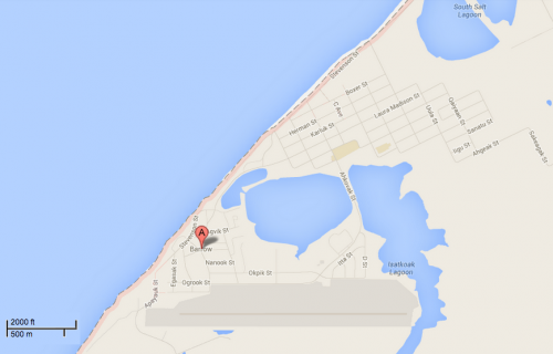
- Lastly, the plan is to collaborate with some archaeologists that have been studying the history of the Inupiats in Barrow. That may help in understanding where people have lived around the village and at what times.
One step closer
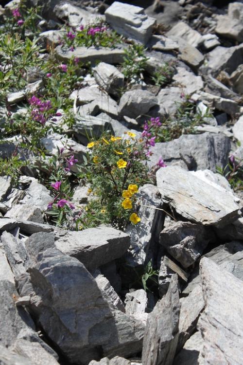
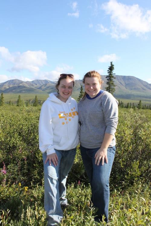
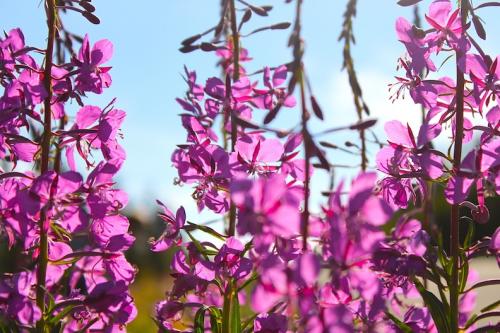
My wife and daughter made the move back to Indiana on Monday. I’m finishing up a few errands in Nenana, Alaska, before the expedition begins in Barrow. My sister (in-law) was nice enough to fly in from Indiana to help us pack up the house and make the big move. It wasn’t all work, though, as we took one day to play around in Denali National Park. Here are a few photos from our fun day.





Comments