A Terrible Tragedy in Norway
So as I'm sure you've all heard by now, yesterday was a nightmare for the peaceful country of Norway. As of today, the events are still fuzzy, but it looks as though a crazy right-wing extremist planted a bomb in one of the main government buildings in Oslo, and then went on a shooting rampage at a summer camp. Such an event would be terrifying and tragic anywhere, but it seems particularly difficult to comprehend in a country as peaceful and open as Norway.
Here in Ny Ålesund, we are very far from the events of yesterday – we're over 1,000 miles from Oslo – we're closer to the North Pole than we are to Oslo. But we're still in Norway, and as such the tragedy is touches us a bit closer than it might at home.
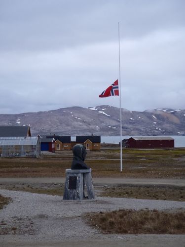
The mood here was certainly subdued – in the cafeteria during the usual Saturday brunch it was much emptier than usual, as many folks were upstairs watching the coverage on TV or elsewhere following it on the internet. During a conversation with one of my Norwegian acquaintances he said that he expected this sort of thing in the U.S., but not in Norway.
A sad day, and we'll certainly learn more as the investigation into this tragedy goes on.
How do you know how deep the water is?
Our group met this morning after watching T.V. coverage of a press conference with the Norwegian Prime Minister and Justice Minister, and decided upon our plan for the day. One of the sticking points for us is that our echo sounder (used for finding the depth of the water) is still out of commission. This means that we can't know with confidence what the depth of the water is at any one point. We have two fallbacks, but they aren't working so well either.
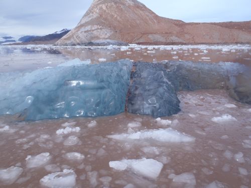
The first is the depth finder that is part of the GPSA Global Positioning System (GPS) is a satellite-based navigation system used to track the location or position of objects on the Earth’s surface. unit attached to one of the boats. We've been trying to use that, but it's giving us false readings. I think the main issue is that we're doing our measurements in very "turbid" water (turbid means that the water is incredibly murky – because of all the glacial sediments in the water), and the depth sounder doesn't give very good readings in such water. When we turn up the "gain" to get through the murk, then the depth sounder (which works by sending a sound wave into the water) bounces back and forth too many times! So our second fallback is to use the winch cable – when we deploy an instrument into the water, we could literally measure the amount of cable sent down, and then feel for when the instrument hits bottom. This is a crude way to measure depth because we can't know exactly when the instrument hits bottom, and (as I wrote about in a previous post) we don't have a very accurate way of measuring the length of cable. But this is the best we can do right now.
Hopefully within a week replacement parts for the echo sounder will arrive and we'll be able to get a much better idea of the depth of water we're working in. We'll hopefully also be able to make some good maps of the sea floor in front of the glacier, which will be very useful for all of the projects.
In the meantime, anyone have any good ideas about how we might find the depth of the sea floor?
More Data Collection
We had to do a bit more work on the winches before we got started today. Some of the cable had become frayed, which would interfere with it's ability to be used effectively, and one of the winches has become difficult to turn. A little Norwegian equivalent of WD-40 did the trick on that, but we had to cut off a rather long length of cable to get rid of the frayed parts. I commented to Julie on how something as simple and low-tech as a cable can influence so greatly the complicated measurements we're trying to make!
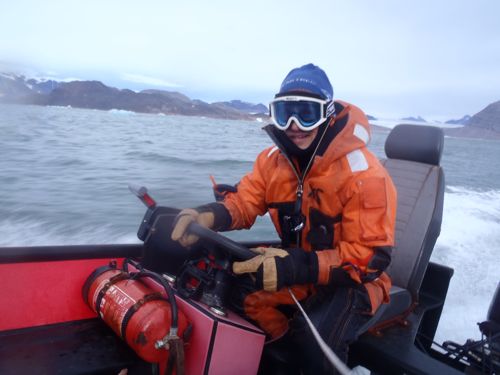
As I did yesterday, I drove the boat for Daksha, Liz and Rebecca. We did many CTDA research tool that is submerged in the water to measure conductivity (salinity), temperature, and depth. casts (Conductivity, Temperature and Depth) for Daksha's research. These went quite smoothly, although the wind was much stronger today, so keeping the boat stationary seemed to be quite a bit harder than yesterday.
More Setbacks!
After a couple of hours of CTDA research tool that is submerged in the water to measure conductivity (salinity), temperature, and depth. casts we moved on to Rebecca's project – recovering the HOBO water level probes so she could upload the data. One of the HOBO's was retrieved quite easily, but when we got to the second one... it was gone! Somehow it simply has gone missing. Two possible explanations – either it came dislodged somehow, and it is sitting on the ocean floor, or someone decided to take it – perhaps they thought it was some sort of drifting material that needed to be picked up. That's probably unlikely, as it was tied onto the rocks on the side of a rocky protrusion, but just in case we'll put up a "lost: 1 HOBO" sign here in Ny Ålesund. At dinner I asked about getting a dive team to look for it, but unfortunately there won't be another dive team here until September.
Fortunately we have a 3rd HOBO unit, so after consultation with Julie and Ross, Rebecca decided to deploy the 3rd unit in the spot where the second one had been. (In the off chance that someone took the other one, we wrote clearly on the PVC housing what the device is and to leave it where it is!)
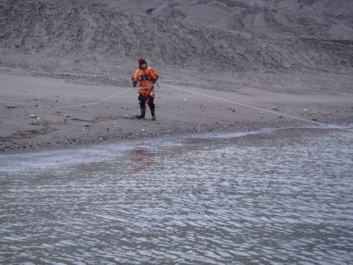
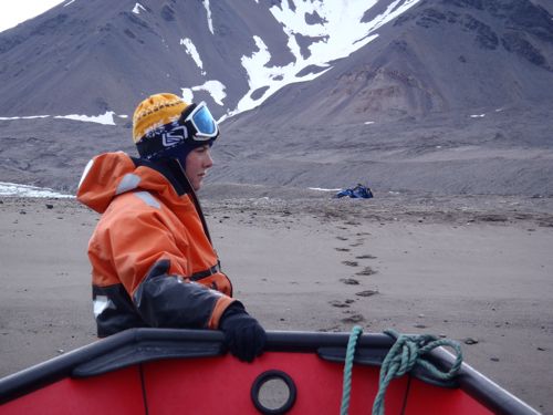
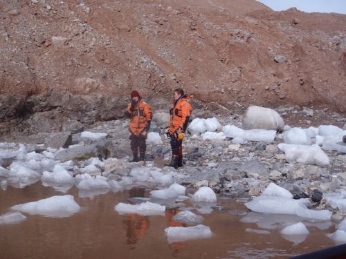
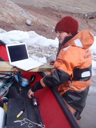
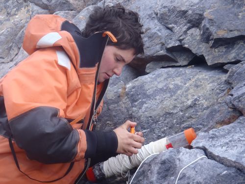
In the end, if the two remaining HOBO unit stay put, then Rebecca will be able to get the data she needs. But now we're a bit nervous about the method we've used to deploy them.
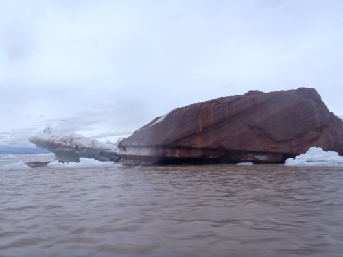
The ride back today was quite a bumpy one! The sea had become quite choppy, and the boat I was driving rides low in the water. So my passengers got quite a ride. Good thing none of them are prone to seasickness!


Comments