Today’s entry is written and submitted by: Paarnannguaq (Greenland), Arno (Greenland), Emil (Denmark), Jeannie (U.S.A.)
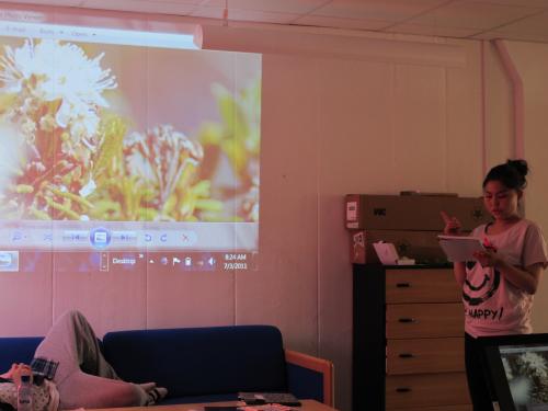
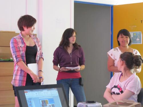
We started out sharing our results from yesterday’s expedition: telling each other about the flowers we found and identified, as well as the properties we observed about our water samples (from Lake Ferguson).
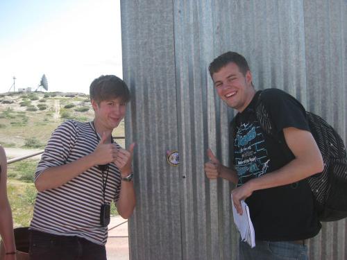
Today we also learned about the world of GPSA Global Positioning System (GPS) is a satellite-based navigation system used to track the location or position of objects on the Earth’s surface.. We got to make our own geo-caches. We were given patches to hide somewhere around town. We recorded the coordinates of our top secret hiding locations and then traded the coordinates with other teams. Then we made a competition out of finding the most patches. After two hours of running around and climbing over rocks, our team, Team Pink, came out victorious. We got to keep the NSF International Polar YearThe International Polar Year (IPY) is a two year (2007-2009) program of international research and education focused on the Arctic and Antarctic. Click here for more information about IPY. patches as our prize.
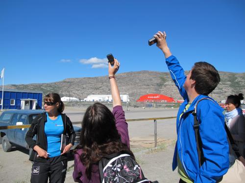
After everyone finished up, we regrouped to learn some more about how GPSA Global Positioning System (GPS) is a satellite-based navigation system used to track the location or position of objects on the Earth’s surface. works and why it is an important tool for fieldwork. We learned about how atomic clocks help to make GPSA Global Positioning System (GPS) is a satellite-based navigation system used to track the location or position of objects on the Earth’s surface. very accurate. This allows for us to record exact locations when collecting samples or conducting tests. With our new knowledge of GPSA Global Positioning System (GPS) is a satellite-based navigation system used to track the location or position of objects on the Earth’s surface., we are now more prepared to work in the field.
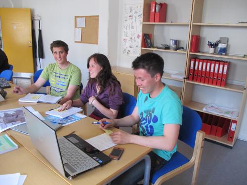
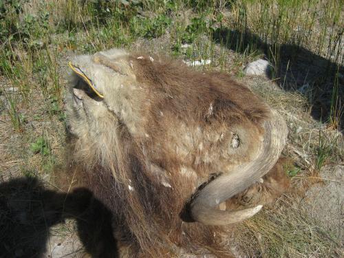
This afternoon we also met for the first time in our research groups. We began discussing what specific research we would like to do. Groups came up with all sorts of plans ranging from water quality testing in different lakes to researching musk ox.
Today’s agenda highlights
Who’s who? Pop quiz on names using photos from yesterday
Reporting out on yesterday’s investigations
Using GPSA Global Positioning System (GPS) is a satellite-based navigation system used to track the location or position of objects on the Earth’s surface.: Creating team Geocaches
Using GPSA Global Positioning System (GPS) is a satellite-based navigation system used to track the location or position of objects on the Earth’s surface.: Finding team Geocaches
Meeting in research groups to create a preliminary plan
Vocabulary
Nalunaarasuartaateeraliorfittaarsualiorsimagaluaraminngoaq – Greenlandic word meaning ‘they build a telecom tower’


Comments