Stratigraphy Logs and Profiling Múlajökull's Ice Margin
Today I headed out into the field with the Nordic members of the team to get some more experience and knowledge about the kinds of research they are completing here at Múlajökull. Meanwhile, Geoff, Libby, James, Reba, and Mark headed back to our AMS sampling sites at Drumlins 1 and 2 to finish up remaining sampling and begin hauling the rest of our sampling gear back to base camp.

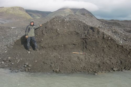
My morning was spent with Ívar at a stream-cut through the recent 2008 surge moraine of Mulajokull. This cut is significant for the project because it allows for clear observation and measurement of the layers of till within the moraine without removing much colluvial sediment. This particular side-view of a landform is called a cross section, and allows one to observe the insides of the formation from front to back and top to bottom.
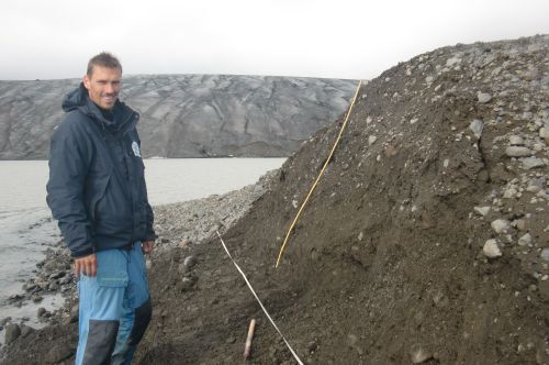
This site is mostly significant for the project because in 2009, when the Nordic researchers discovered this portion of the 2008 end moraine, it was at the ice margin. Since then, the glacier has receded and melted nearly 400 meters, with its melt-waters cutting this opening through the end moraine. The cross-section has allowed their team to document thrusting, or pushing, of till up at a particular angle within the end moraine. This may give the team further insight into how ice behaves at the bottom and the terminus of a glacier.
Monitoring Múlajökull's Ice Margin
After another day's lunch in the pouring rain, we headed further north and east along Múlajökull's ice margin to find Sverrir and Anders. The two of them were continuing their work of measuring the exact dimensions of drumlins in the forefield (length, width, height). This is an important component of Sverrir's PhD project, and will provide valuable information about how accurate the 2008 LiDAR data are in measuring the dimensions of drumlins. Sverrir has used the LiDAR data to map many of the glacial landforms here at Múlajökull, and now that he has field measurements on drumlin dimensions, he can increase the accuracy of landform identifications and boundaries on his map.
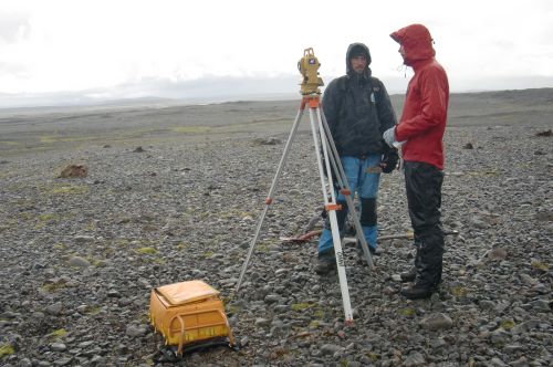
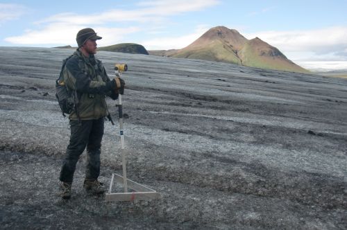
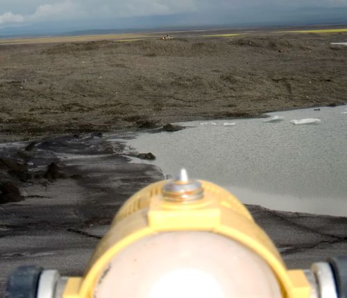
Sverrir and Anders were using a standard surveying Total Station to measure the distances. It operates in a fairly simple manner to measure highly accurate distances: an infrared beam of light is shot out of the station towards a reflective mirror on a telescopic pole (held by a person at the chosen location). A computer inside the station records the time it takes for the beam to travel across space to the mirror, be reflected by the mirror, and come back to the station. Since all light waves travel at a constant speed (approximately 3.0 x 10⁸ m/s), the distance to the mirror can be calculated by the computer with ease! The tool also computes triangulation of the beam of light by providing two distance measurements: horizontal and vertical.
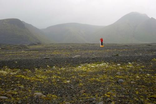
Once they were done with their work, the four of us headed closer to the ice margin of Múlajökull to continue work on another one of their team's ongoing research: determining how the ice margin has moved over the last four years. Since 2009, the team has been using the Total Station surveying equipment to measure the movement of two aluminum triangles that they have anchored in fixed positions on the glacier's surface.
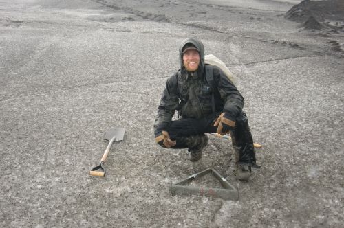
By setting the Total Station in the exact same position on the end moraine each year they collect data, they can quite accurately determine the distance between the triangles anchored in the ice and the Total Station. Any changes in this distance indicate how the ice margin has moved.

All you need is someone to hike up on the glacier with the reflector mirror and place it inside the triangle. That's where my help came in.
These data collectively come together as a graph that illustrates a profile of Múlajökull's ice margin. I am bringing the data back from today (as well as previous years' data) to be used by my students this year in class. We will work together to graph these results and determine how the ice margin of Múlajökull has changed over the last four years.
Heading Back Tomorrow: One Day Early
Tomorrow's weather is supposed to finally clear up with a large gap in rain showers occurring throughout most of the morning and early afternoon. That being said, we have decided to take advantage of this weather and leave a day early; just in case bad weather moves back in on Sunday and we cannot get a helicopter in to base camp.
I am excited to ride back to Reykjavik in the helicopter tomorrow, as my ride in nearly three weeks ago was on the 4x4 road. This time I get the bird's eye view of the land of fire and ice! I am going to take lots of video and pictures of the one hour flight and plan to post a journal about our departure from base camp and the flight when I get back to Reykjavik tomorrow night.
It has been an absolutely amazing day with my Nordic teammates, and I am very thankful to be ending our fieldwork with such a wonderful day in the field with them all!
Next time I write, I will be back in civilization!
Cheers!
Jamie


Comments