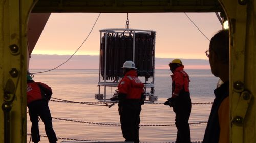
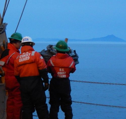
Oceanographers are similar to meteorologist; they both predict patterns based on computer models and have an understanding of how different variables affect a system. Both air and water currents have fronts. Two water masses that come together with differences in temperature and salinity create a front of water; which is analogous to air fronts created in the troposphere by differences in air masses' temperature. Last year oceanographer Dr. Tom Weingartner (University of Alaska Fairbanks) and his team released oceanographic moorings and satellite-tracked drifters off the Healy. Data collected from one drifter that traveled to the west side of Hanna Shoal took three weeks before it arrived at Barrow Canyon, a distance of more the 100 miles.
Tools
The tools of an oceanographer are radars, drifters or moorings, and the CTDA research tool that is submerged in the water to measure conductivity (salinity), temperature, and depth. (Conductivity, Temperature and Depth) instrument. The land based radars measure currents in the first meter of surface water out to 100 miles from shore. The data is averaged to get a mean vector that shows the direction of the current. Drifters can measure surface currents from a set depth between 1 m and 10 m and collect temperature. The CTDA research tool that is submerged in the water to measure conductivity (salinity), temperature, and depth. is like a barcode reader for water masses. Water masses have a particular characteristic. A characteristic that may identify me is my blonde hair and hazel eyes; likewise a body of water has a ratio of temperature and salinity that identifies it. If the water is warmer and has low salinity then the water may be Alaskan coastal water. In contrast, very cold and low salinity waters are derived from melt ice and near-freezing, very salty water is formed when ice grows.


Variability
Winds can make or break a current. It can slow the current down, speed it up, or even change its direction. Topography of the ocean floor is another factor in currents. Strong currents are often associated with steep bottom slopes. Currents flowing over flat bottoms are usually much weaker. Well...almost...there is a density factor too. The water around Hanna Shoal is a shallow dense water from the salts that drop out during the freezing of seawater.
Importance of Currents
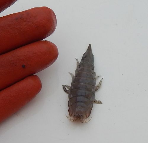
Knowing about the flow of currents is critical in coordinating cleanup efforts following an oil spill or to help in search and recovery of those lost at sea. Knowing the current's direction will optimize the cleanup effort or, in the case of boating disasters, save lives. The distribution of organisms and sediment types are due to currents. We noticed differences at every station we sampled. Currents are thought to have a major influence on the distribution of benthic (giant isopods) and pelagic organisms.


Comments