The Dalton Highway
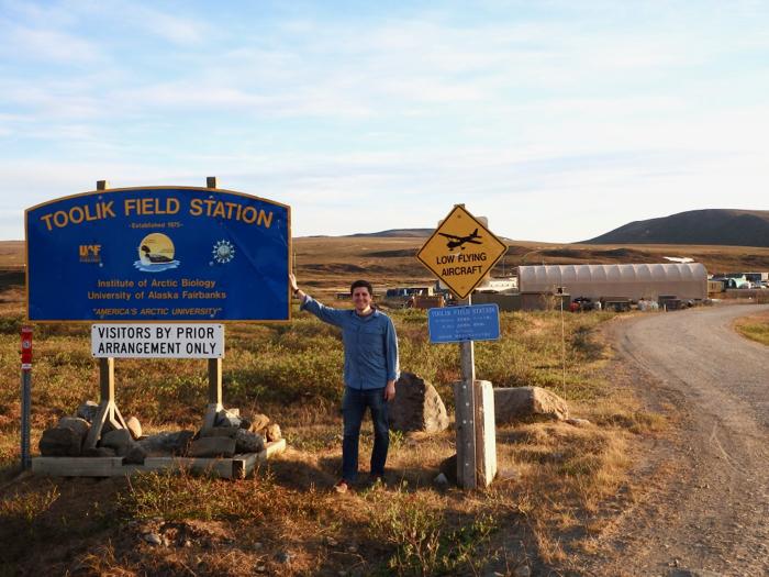
Toolik Field Station, North Slope, AK
June 4, 2019
Photo of the Day:
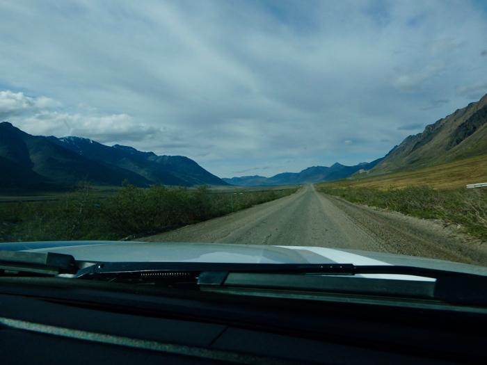
Today, we tackled the 9.5 hour drive from Fairbanks north to Toolik Field Station, along the infamous Dalton Highway. This road was originally constructed as a supply corridor for the Trans-Alaska Pipeline, and it follows the pipeline’s length for its duration.1 It begins in Fairbanks and ends at the Deadhorse oil camp on the Arctic Ocean.
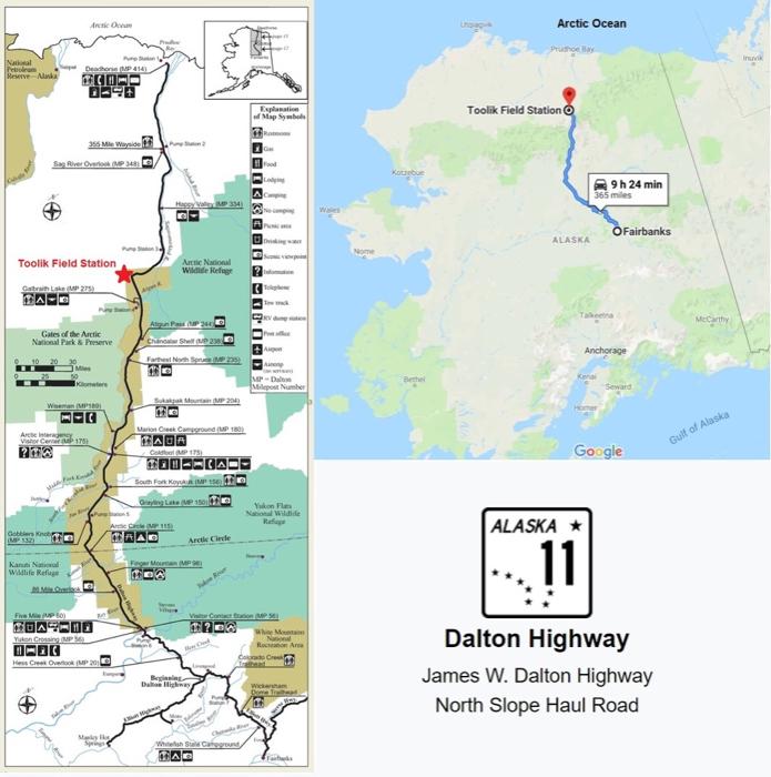
It’s quite the dangerous road, given that it’s mostly gravel, primarily driven by large oil trucks, and one of the most isolated roads in the US. As we drove, we had to follow multiple special precautions, notably the 50 mph maximum speed limit and frequent use of a CB radio to communicate with other drivers. Here are a couple videos clips to give you some perspective:
Dalton Highway Top 6:
Here's my top 6 list from the drive.
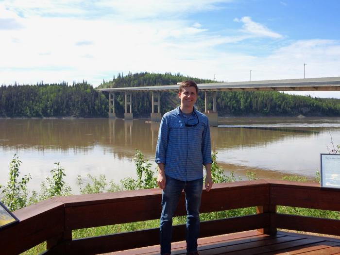
Crossing the Yukon River
Three hours into our trip, we crossed the famous Yukon River, the longest river in Alaska.
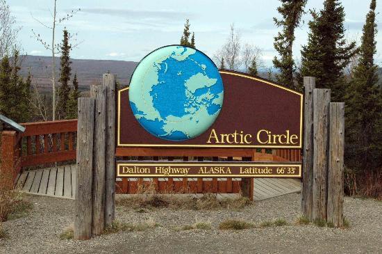
Entering the Arctic
At 66°33° North, we officially crossed into the Arctic Circle!
The Wildlife
We were blessed on this trip to see a wide variety of wildlife just off the road. The highlights of the trip for me were a red fox with pups and a herd of caribou.
The Names of the Landmarks
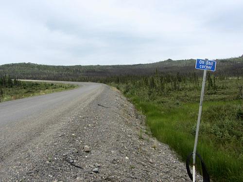
Driven by truckers for over 40 years, many of the landmarks along the Dalton have acquired humorous names. My particular favorites were: Oil Spill Hill, the Roller Coaster, Beaver Slide, Gobblers Knob, and the infamous Oh Sh*t Corner.
Atigun Pass
Crossing the Brooks Range at Atigun pass, we finally entered the North Slope region of Alaska. From this point north, all streams and river flow into the Arctic Ocean, the topsoil is supplanted by continuous permafrost, and there are no trees.2
Arriving at Toolik
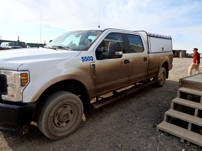
We finally disembarked at Toolik Field Station after a very long day in the truck. It is so great to finally be here!
Comment below!
-
“Alaska: Dalton Highway Visitor Guide 2018.” Alaska: Dalton Highway Visitor Guide 2018 | Bureau of Land Management, 10 Apr. 2019, www.blm.gov/documents/alaska/public-room/brochure/dalton-highway-visitor-guide-2018. ↩︎
-
Huryn, Alexander D., and John E. Hobbie. Land of Extremes: a Natural History of the North Slope of Arctic Alaska. University of Alaska Press, 2012. ↩︎


Comments