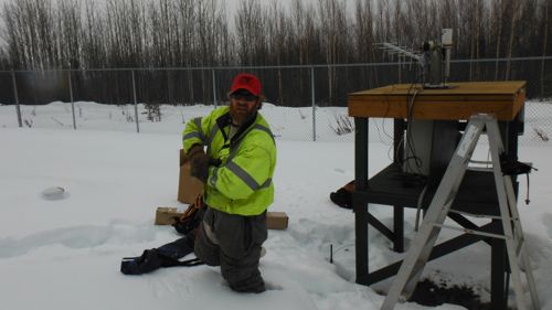
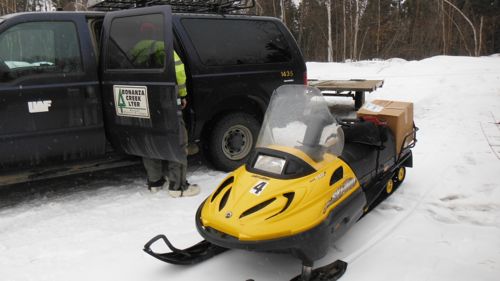
I met Jamie Hollingsworth the Site Manager for BNZ LTER when he and Brian Charlton (Field Tech. for BNZ LTER) came down to CiPEHR to test a tracked four-wheeler with snowblower attachment near the On-plot Experiment sites.
The Bonanza Creek Long-Term Ecological Research was established in 1987. It’s part of the National Science Foundations (NSF’s) Long-Term Ecological Research Network. BNZ LTER is co-managed by University of Alaska-Fairbanks and USDA Forest Service. It’s concentrating on two areas, the Bonanza Creek Experimental Forest and Caribou Poker Creek Research Watershed.
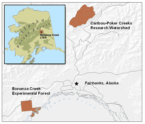
http://www.lter.uaf.edu/about_us.cfm
BNZ LTER focuses on improving our understanding of the long-term consequences of changing climate and disturbance regimes in the Alaskan boreal forest. The central research question is: How are boreal ecosystems responding, both gradually and abruptly, to climate warming, and what new landscape patterns are emerging?
http://www.lter.uaf.edu/
After I indicated I was interested in learning more about this Research Site based out of the University of Alaska-Fairbanks Jamie invited me along to spend the day at the Bonanza Creek Experimental Forest a 12,487 acre area est. in 1963 south of Fairbanks along the Tanana River.
http://www.lter.uaf.edu/bnz_bcef.cfm
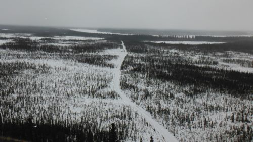
http://www.lter.uaf.edu/site.cfm?site_pkey=30
I met Jamie at the access road between mile 338 and 339 on the George Parks Highway Monday morning. We unloaded a couple of snowmachines then proceeded to head into the Research Site.
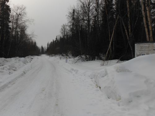
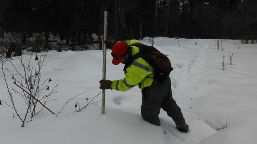
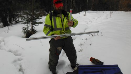
We stopped along the way and conducted a snow survey at a designated site. These surveys involve measuring the depth of the snow and calculating its density. This information is used by the USDA Natural Resource Conservation Survey. The NRCS Snow Survey Program provides mountain snowpack data and streamflow forecasts for the western United States. Common applications of snow survey products include water supply management, flood control, climate modeling, recreation, and conservation planning.
Later further into the Research Site we stopped at a fenced area containing a series of instruments used by BNZ LTER to monitor the weather, atmospheric moisture, snow cover and photosynthetically active radiation.
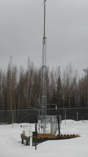
Jamie had brought a replacement antenna and a sun photometer for installation on the site. The sun photometer collects data on atmospheric aerosol properties and is part of the NASA Aerosol Robotic Network (AERONET).
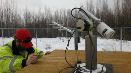
http://www.nasa.gov/topics/earth/features/aeronet-network.html
http://
It was interesting to see the regrowth after the large Rosie Creek wildfire. 30 years ago as an undergraduate student at the University of Alaska-Fairbanks I had ridden my bicycle 10 miles south on the George Parks Highway to watch the forest fire burn right up to the road. In 1983 the Rosie Creek Burn ultimately consumed about 8500 acres of forest and burned about 1/3rd of the Bonanza Creek Experimental Forest.

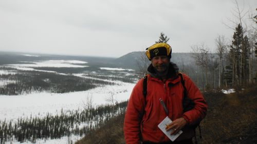
We finished by riding to a bluff overlooking the Tanana River with a good view of the area of the Bonanza Creek Experimental Forest.


Comments