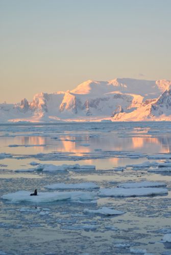
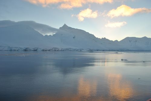
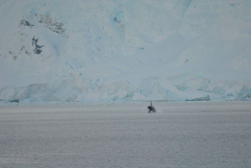
We had to leave at some point. Though I still have a few more stories to tell about the work going on down there, so don't leave just yet. In fact, if there is any aspect of the work and life down here that I may not have covered, feel free to send an email - pdell [at] polartrec.com. As we headed out of the Neumayer and into the Gerlasche Strait, we were treated to a whale of a show...literally. There were a few whales hanging out. The most exciting was watching a couple of them feeding and breaching the water.
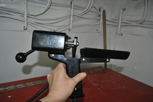
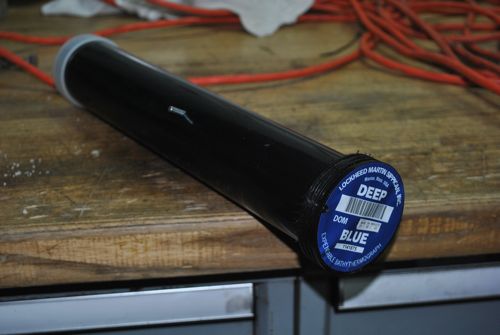
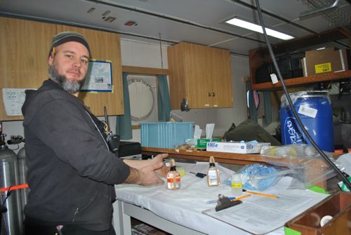
We continue to do science on our way North. We've been collecting data on the water using expendable cartridges. Their are two different cartridges that are shot off at different times. The XBT stands for Expendable Bathythermograph. BathymetryBathymetry is the study of the depth of water in the ocean. is the study of the ocean's depth. XCTD stands for Expendable Conductivity, Temperature, and Depth. Remember those great big cylinders that we deployed? I took water samples at various depths and filtered the water for chloropyll a. Those were CDT, but not expendable. These tubes contains a small lead and about a kilometer of thin copper wire. There is also wire in the launching gun. We all pitched in and took 4 hour shifts so that data could be collected on a 24 hour basis.
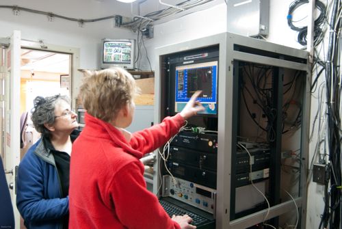
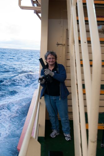
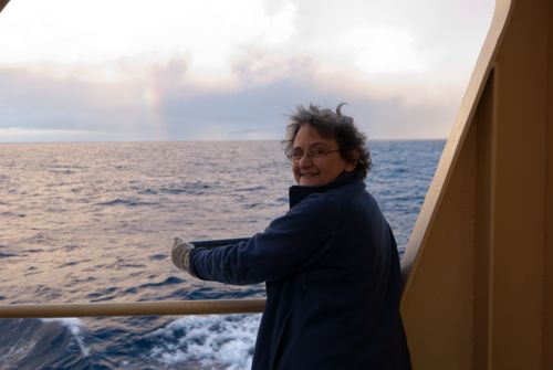
So, you fire off the cartridge - sounds much more exciting than it is. You really just turn the gun down and out plops the weight attached to all that copper wire. The wire from the gun is connected to a computer monitor. Remember that one I showed you in the journal on CTDs? Information on temperature and conductivity (salinity) is transferred through the wire back to the computer and we can see what is happening. We will be doing this for most of the way home every 6 minutes of latitude. Initially it was every 10 minutes of latitude. What does that mean you might be asking. Latitude and Longitude are measured in precise increments. So, at Palmer when I say the Latitude is -64.46 that means 64 degrees South and 46 minutes. The negative designates South and West. I learned this when I accidentally marked Chicago as East is stead of West and found the map marker had me in China. So, China really is directly through from us in the Midwest.
Back to the Neumayer Channel is the little passage between Anvers Island where Palmer Station is located and Wiencke Island. A German Whaling and Sealing expedition in 1873-4 first noted its existence but it wasn't actually charted and navigated until 1895-8. The Gerlasche Strait is between the islands of the Palmer ArchipelagoA chain of many islands. and the Antarctic Peninsula. It was named after Lieutenant Adrien de Gerlache de Gomery. He headed up the Belgian Antarctic Expedition of 1897-1899. The Gerlasche was explored and charted in 1898. Remember these dates because we will be returning to some Antarctic history in a future journal. Here's a not so tricky question to leave you with - When was the South Pole reached and who was on that expedition?
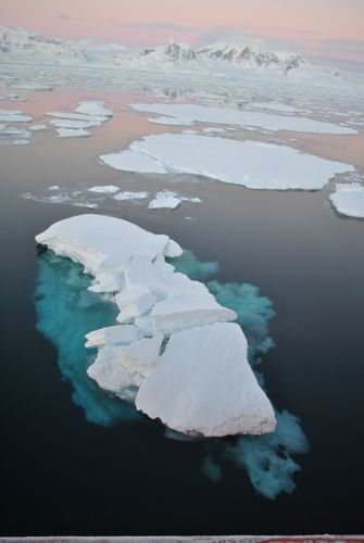
I promise to post some more beautiful pictures tomorrow. Believe me, I could post a new one everyday and still have loads left over. There is so much beauty down here, it never gets dull.


Comments