
Jack’s weather report:
It is sunny and warm this morning but there is a change in the air. (see winds below)
Temp: 42 °F
Winds : Out of the west this morning, which is a first in the three weeks I have been here.
         They are normally out of the east and you can almost set your clock by that.  We


         hear there is going to be a change in the weather in the next couple of days.
Yesterday was another wonderful adventure up here. The morning began as an office day as I was finishing up preparations for the webinar coming up tomorrow. I tried to get a little of everything in it and the people at ARCUS have been fantastic at working on it as well. Communication has been excellent with them as long as my internet connection is up and running.
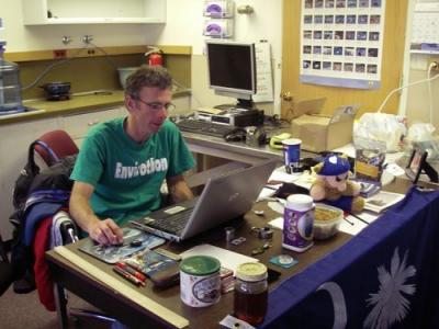
My desk in BASC 213
After lunch I went into the field with Adrian Aguirre and Amorita Armendariz. Adrian is working on his master’s thesis, which includes mapping the bluff looking out at Elson Lagoon. Adrian’s nickname is "the shark”. I don’t know why, but everyone seems to get a laugh about it.
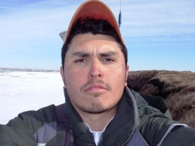
Adrian's self-portrait
Adrian is comparing data from previous years to see how much and how quickly the bluff is eroding.
The hike over to the bluff was over the tundra….now hiking on the tundra is not like a walk in the park….or even a hike in the forest. First, you are wearing these EXTRATUF neoprene boots where your foot feels like it has been swallowed by a whale. At least mine do.
If you want to simulate the tundra at home throw couch cushions and pillows on top of your bed in no specific order. Now soak, I mean really saturate the pillows with water. Throw a pack on your back, a tripod on your shoulder, and you’re off to Elson Lagoon walking over the tundra.
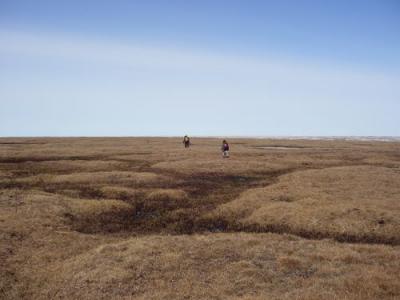
Adrian and Amorita are ahead on the hike to Elson Lagoon
Along the way we stopped at the nests of two pairs of Lapland Longspurs. They are small birds that have well-camouflaged nests on the ground. We saw another one on our hike out and a total of 14 eggs between the three nests. The male longspurs are easy to spot with a rust colored area of feathers on the top of their head.
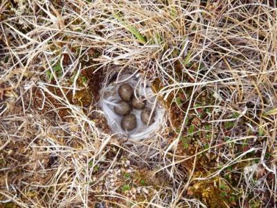
Lapland Longspur nest
It was over an hour hike out to the bluff. We worked at the bluff, Adrian taking GPSA Global Positioning System (GPS) is a satellite-based navigation system used to track the location or position of objects on the Earth’s surface. points, and Amorita and myself taking and logging the angles of the slope.
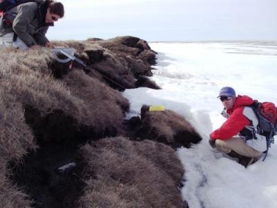
Taking the angle of the bluff
We also set out disks that are set in the ground and are going to mark erosion and the slump of the bluff over time. The disks start at the bluff and are positioned inland three meters apart up to 12 meters.
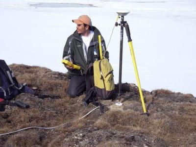
Adrian setting up tripod to GPSA Global Positioning System (GPS) is a satellite-based navigation system used to track the location or position of objects on the Earth’s surface. the erosion markers
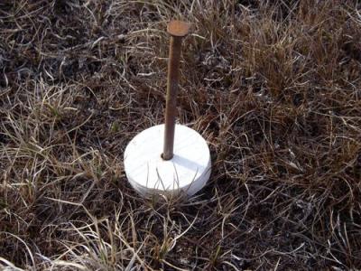
Erosion marker disk
The nail anchoring the erosion markers also shows the depth to the permafrost
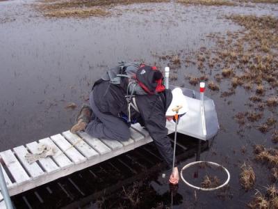
We headed back towards the road for pick up. The hike back was through a former lake basin and much wetter than the walk out, so much tougher. I stopped for some more photos such as this one of the flowering pedicularis.
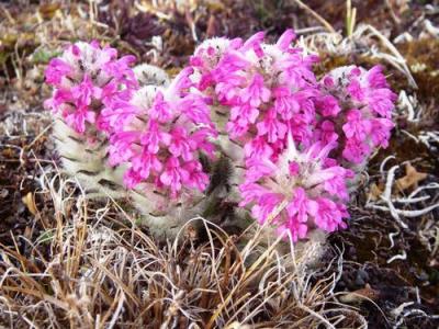
Blooming Pedicularis
In all we spent 6 hours in the field going to the bluff, taking our measurements, and returning. Dinner was cold pizza but it didn’t matter…we were starved. We hung out in the lab talking about the day. It was a day I won’t soon forget.
………one last picture before bed……the Midnight Sun.
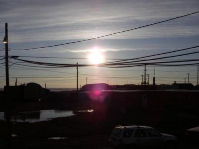
Midnight Sun
Comments