Today we decided to drive to Seward down the Kenai peninsula to see a little of the area. We started down the Seward Highway along the Cook Inlet and then the Turnagain Arm to gorgeous views of the Chugach mountain range.
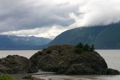
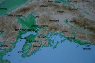
The Turnagain Arm is the finger of water between Anchorage and Whittier on the map.
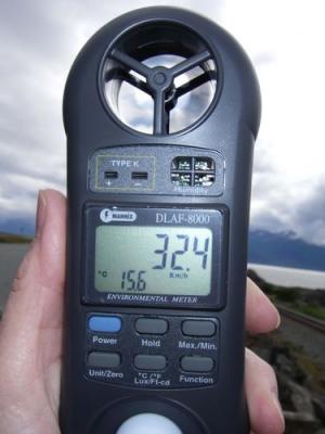
We stopped along the way between Anchorage and Whittier and we noticed how much silt has built up in the inlet. It appears as if some day this area will fill in and become a valley. I took a wind measurement to see just how strong the wind was blowing. You can see the temperature and wind speed, 32 km/hr!
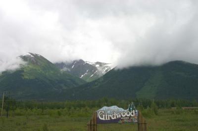
When we got to a small town named Girdwood we were met with fabulous views of glaciated mountains.
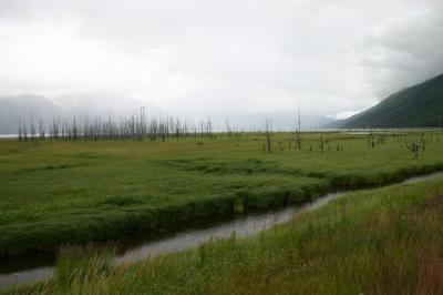
The town was devastated during the 1964 earthquake, when the land dropped 8-10 feet and the town was innundated with salt water. Here you can see the dead trees that resulted from salty water that killed their roots.
We drove all the way to Seward where we visited the Alaska Sea Life Center.
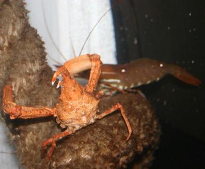
A crab at the Alaska Sealife Center.
What impressed me at this center were the sea mammal exhibits, the salmon displays, and the sea bird exhibit.
Here you can see five species of salmon.
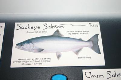
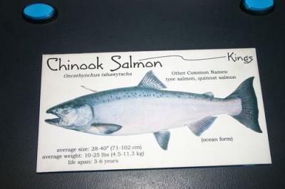
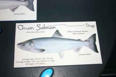
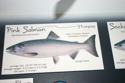
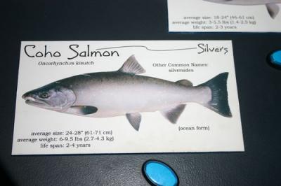
*Five types of Pacific salmon: *
*Sockeye salmon, Chum salmon, Chinook salmon,Pink salmon, Coho salmon. *
I just love those Tufted Puffins!
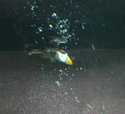
Tuffted puffin diving at the Alaska Sealife Center.
This map shows the area that was affected by the devastating oil spill from the oil tanker the Exxon Valdez.
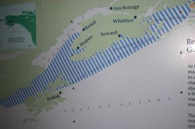
Area that was affected by the oil spill is colored with blue stripes.
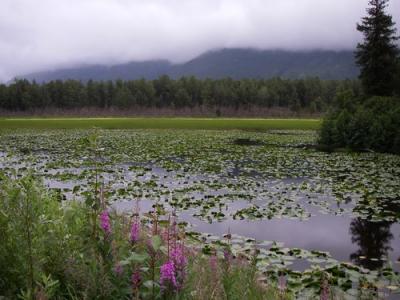
Here is a small lake we saw on our return trip to Anchorage.


Comments