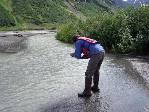
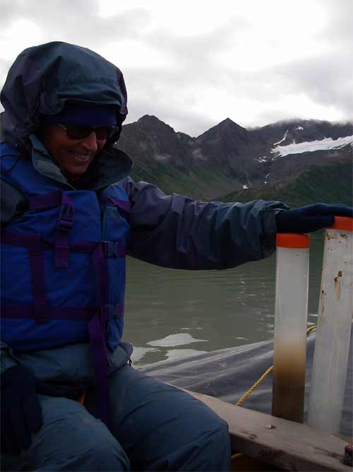
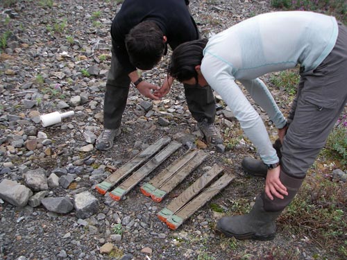
You will remember that in my last journal I reported what we did for the first 24 hours at Cascade Lake. Before we left we made 2 more sediment cores and took water samples from 2 points where glacier melt water enters the lake and from the outflow point too.

Scientists will use evidence from the cores and sediment traps, plus water chemistry and temperature data, to learn about the climate at the lake. Our short cores are used for more recent history (about 150 – 200 yrs) and long cores can go much further into the past.
Cascade Lake was chosen as a research site because it is fed by glaciers relatively close to the lake, is ice free, and is accessible by float plane. This small lake can be visited in a relatively short time. The fan created by a long ago glacier provides good camping and work space for the team. (This is very desirable, but not critical.)
Last year's 4th graders will remember looking at soil components to learn about particle size and color. We also examined cylinders of run-off from the stream boxes to look at sediment. Remember how we could see layers of the different materials: clay, sand, humus, and gravel? Well that is very similar to what we see in the cores, but there are pattern repeats for each yearly cycle of seasons. If the pattern is undisturbed in a good core, Heidi and Darrel can trace the events that created it.

These beautiful strata are gray, brown and black. Browns range from rich golden to dark chocolate. Layers may be a few mm thick or several cm, depending upon how fast the material was washed down-stream and deposited. This rate of deposition relates to how fast the glacier was melting (temperature variations) and weather events such as big storms that caused exceptional erosion of slopes and banks.
Erosion from weathered rock slopes is sandier; from stream banks it is richer organically; glacier melt contains fine gray "flour" created by tons of ice grinding across the rock beneath it. A typical year will start with coarse-grained materials spring melt and be discernable from the next by a fine-grained clay layre. A thicker layer shows something happened to melt the glacier faster or that a huge rainstorm caused streams to swell and wash more than normal amounts of sediment into the lake.

There are "markers" that help identify particular years by the events that caused them: a layer of volcanic ash can be identified as from a particular eruption. (We found ash from Aniakchak which erupted 3600 years ago.) Heidi can have material analyzed geo-chemically to find plutonium fallout from nuclear weapons testing which peaked in 1963-64. Distinct markers like these help researchers define and interpret the layer patterns.
I am learning about this from long discussions in the cook tent with Heidi and Darrel. We have had several wet, stormy days when we were tent-bound for hours so I am having lots of time to ask questions and work on how to share this with you. You will remember that in my last journal I reported what we did for the first 24 hours at Cascade Lake. Before we left we made 2 more sediment cores and took water samples from 2 points where glacier melt water enters the lake and from the outflow point too.


Comments